PLAN YOUR OWN OUTING
Geotourism: Rocks, Rapids and Landscapes
Observe how landforms and water help explain a place. Separate what you can see from hypotheses about its origin.
What It Is
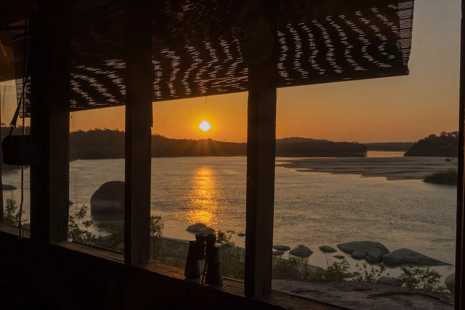
Geotourism focuses on landforms, rocks and landscape-forming processes. A town viewpoint or rapids observed from a permitted location can provide an introduction without a scientific expedition.
Known Destinations: What They Are and How to Reach Them
| Destination | What It Is | How to Arrange the Approach |
|---|---|---|
| Raudales de Maipures Cumaribo | Rapids landscape The Orinoco’s force among rocks: a place for careful observation with local accompaniment. | Arrange arrival as an El Tuparro visit, with authorized transfers and observation points. Ask the park how to reach the landing; observing the rapids does not mean navigating them. |
| Cerro de la Bandera Puerto Carreño | Viewpoint and urban place A vantage point for understanding Puerto Carreño’s town and river landscape. | From Puerto Carreño, identify the local hill approach and take a return walk on the permitted path. Confirm the start and rock conditions; no surveyed distance is supplied here. |
| Aliwa Forests and the Vichada Structure Cumaribo | Biocultural landscape Biodiversity, Sikuani territory and a geological question that deserves careful explanation. | In Cumaribo and an Indigenous cultural landscape. Define the approach with the responsible authorities and the visit’s purpose; no open-access route or ready expedition is published. |
Why Go
Cerro de la Bandera helps reveal the relationship between town and rivers; Maipures shows water meeting rocky outcrops. Aliwa raises more complex scientific and cultural questions: an impact interpretation and proposed age require evaluation of the evidence.
How to Plan Your Outing
- Begin with a known accessible place: research Cerro de la Bandera’s approach and observe without removing material.
- For Maipures, arrange El Tuparro access and an approved guide or interpreter. A tourism description is not an invitation to enter rapids.
- Bring maps and questions. Distinguish science communication from conclusions supported by primary research.
- For Aliwa, establish authorities, access and purpose first. A scientific article does not grant permission, and a hypothesis should not become a promotional certainty.
Access and Local Support
No ready Aliwa expedition is offered and an impact origin or age is not presented as settled. Do not collect rocks or disturb archaeological or culturally sensitive sites. Observation is not a sampling permit.