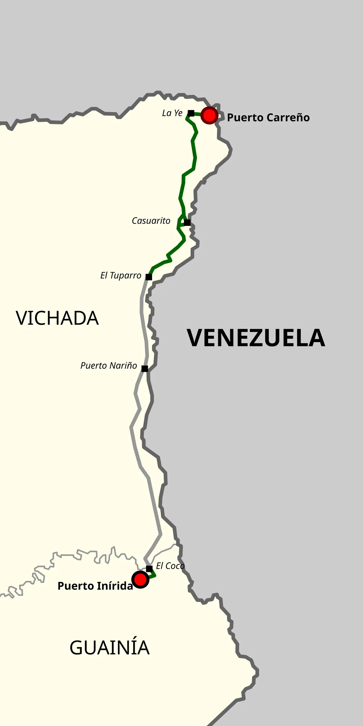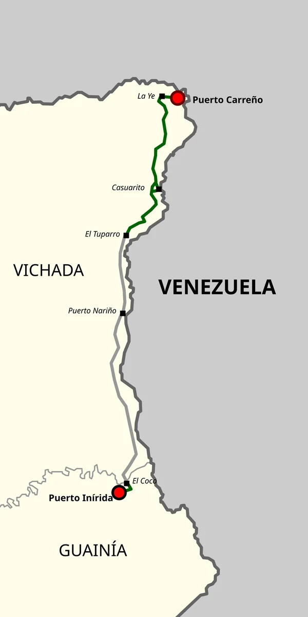
Historical Route 95 reference map: green, former alignment; gray, projected unbuilt sections according to the map author
Rutacol-map-95det.svg · Nemequene · 2021
Original file open_in_new · CC BY-SA 4.0 open_in_new
Versions resized and compressed. Some previews are cropped. The stated license still applies.
Read the Route 95 guide →
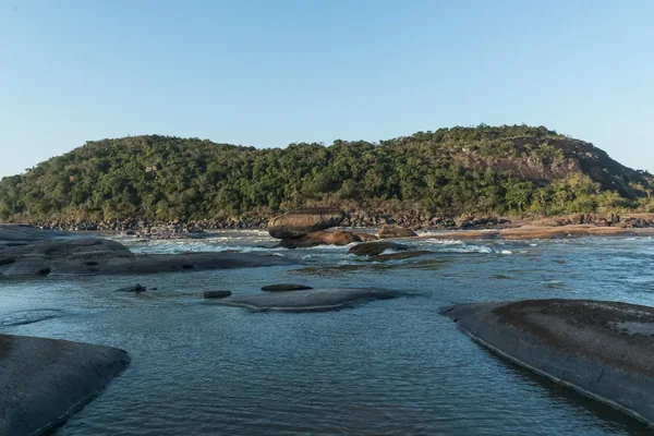
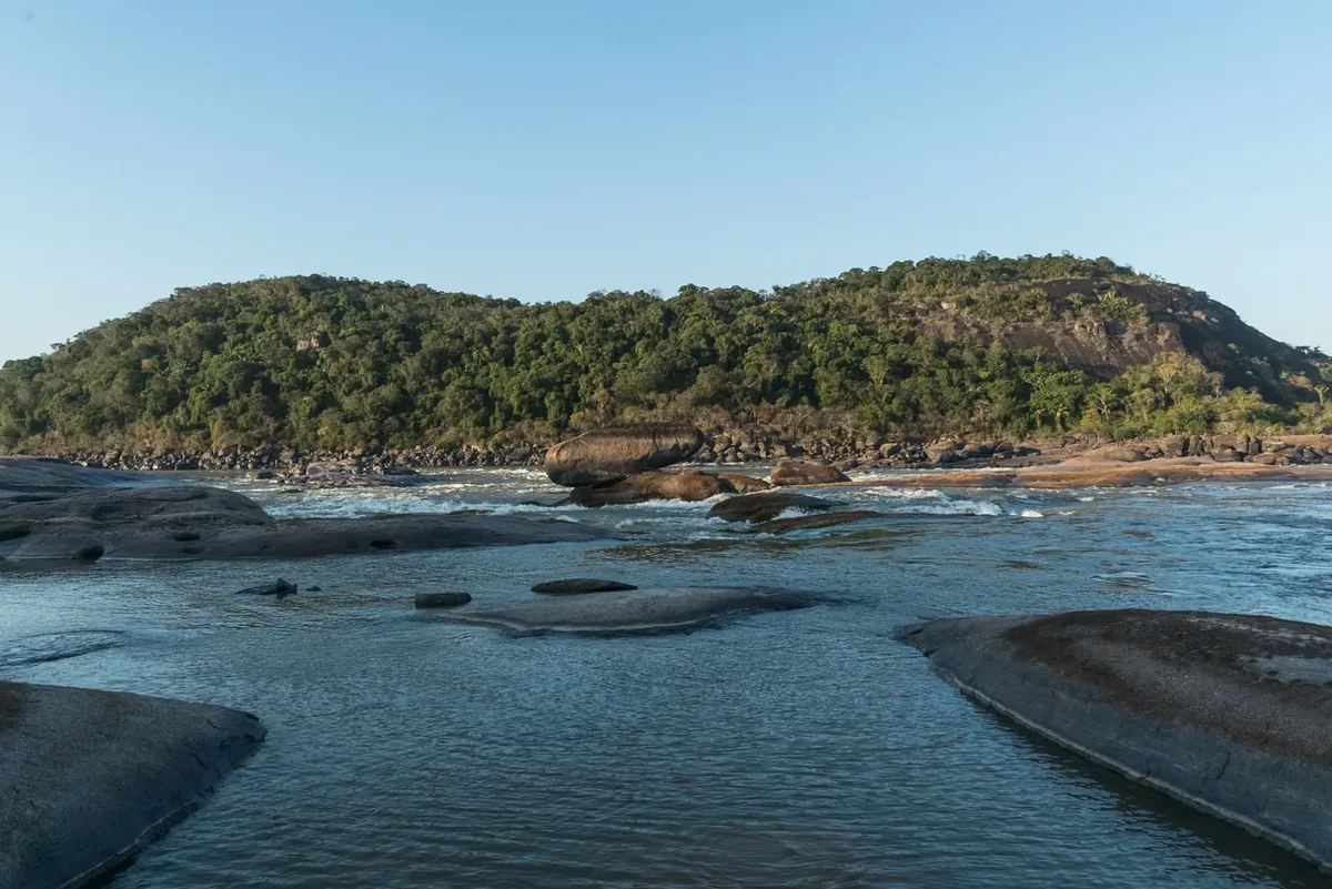
Maipures rapids, El Tuparro
The Eighth Wonder of the World Tuparro Natural Park · Colombiaamazinglandscapes · 2016
Original file open_in_new · CC BY-SA 4.0 open_in_new
Versions resized and compressed. Some previews are cropped. The stated license still applies.
Read the guide ↗See related guide ↗
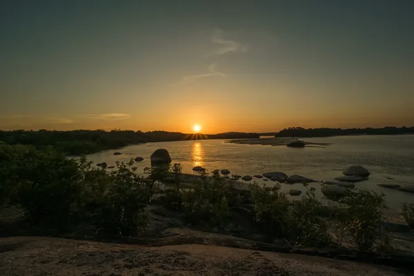
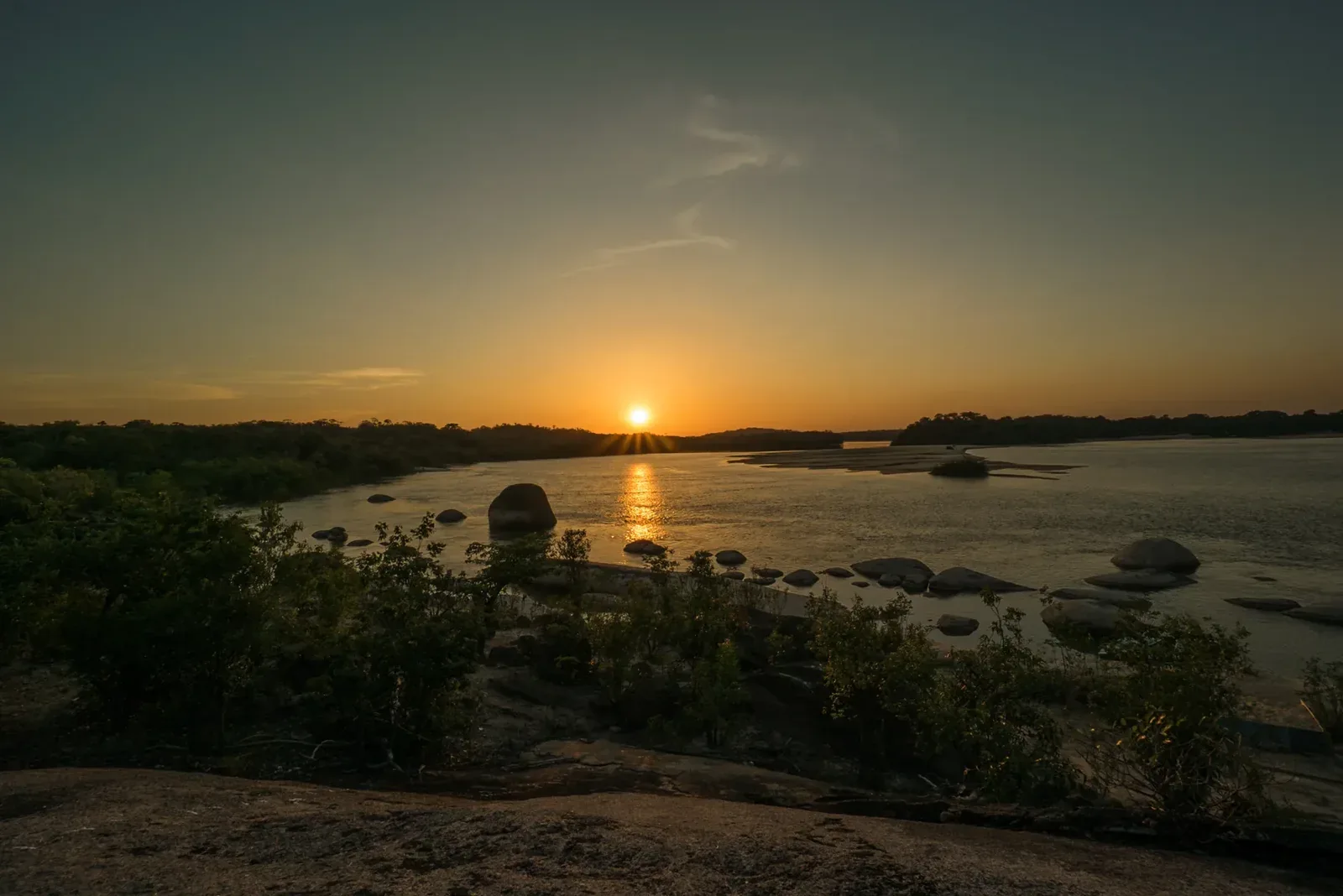
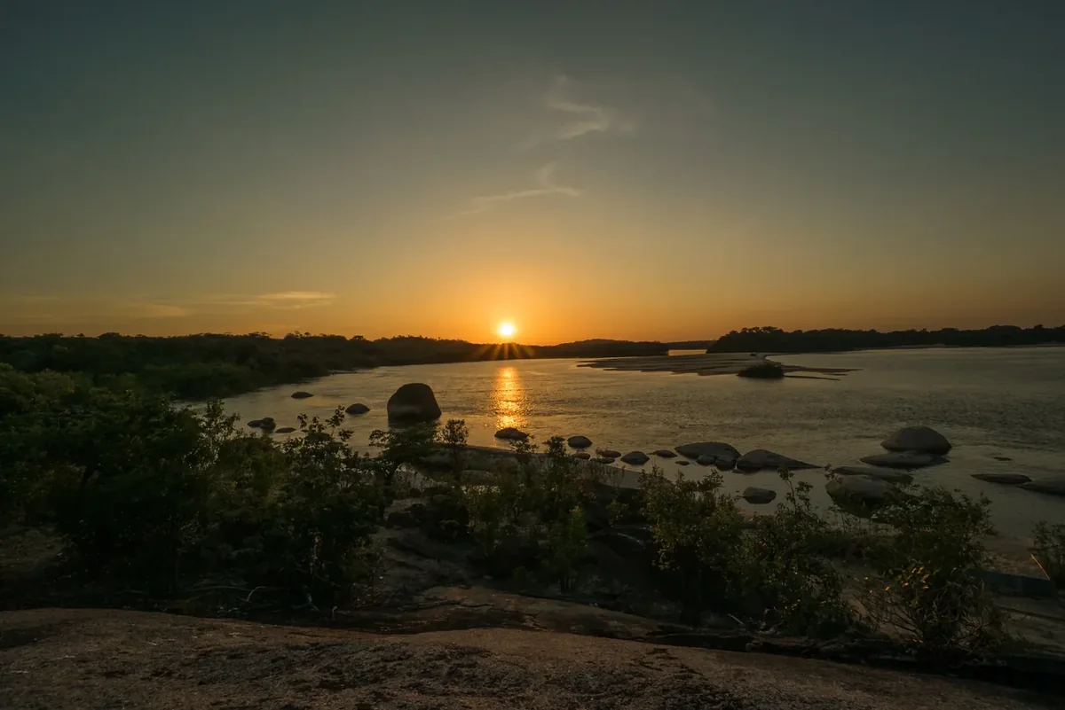
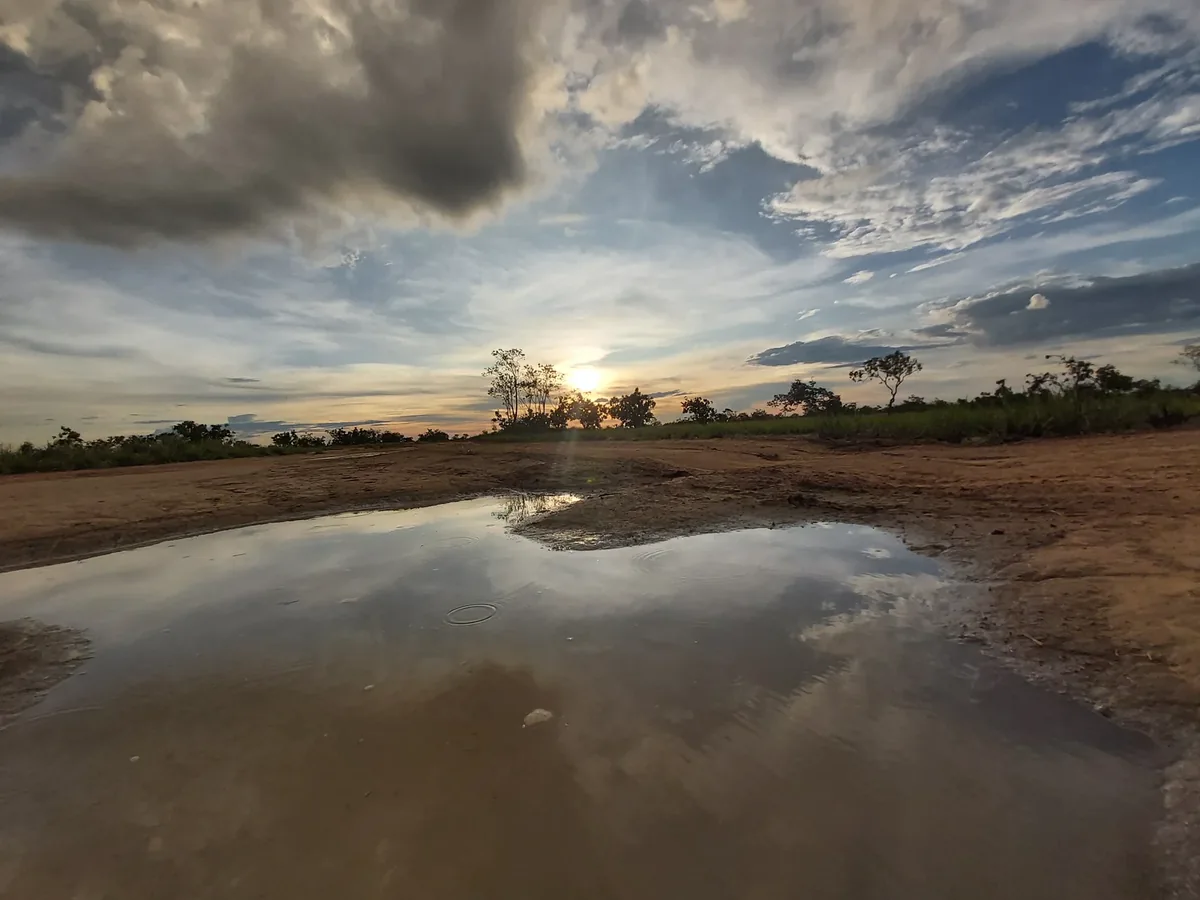
Sunset in the El Tuparro landscape
Los Atardeceres desde Vichada · Colombiaamazinglandscapes · 2016
Original file open_in_new · CC BY-SA 4.0 open_in_new
Versions resized and compressed. Some previews are cropped. The stated license still applies.
Read the guide ↗
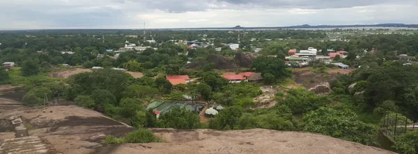
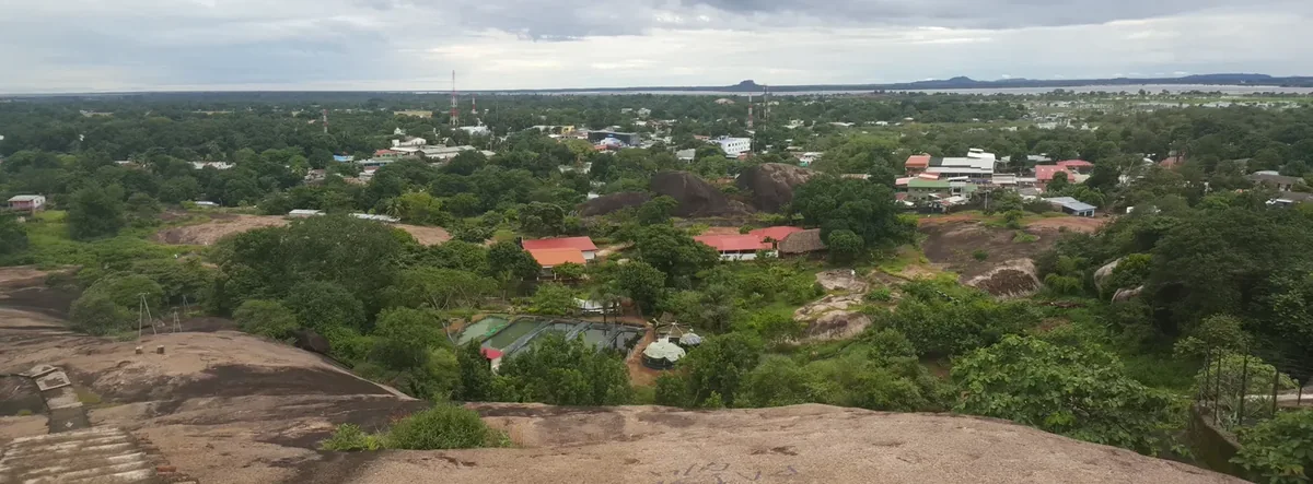
Puerto Carreño from Cerro de la Bandera
Puerto Carreño, Vichada, Colombia · CarlosE Duarte · 2015
Original file open_in_new · CC BY 3.0 open_in_new
Versions resized and compressed. Some previews are cropped. The stated license still applies.
Read the guide ↗See related guide ↗
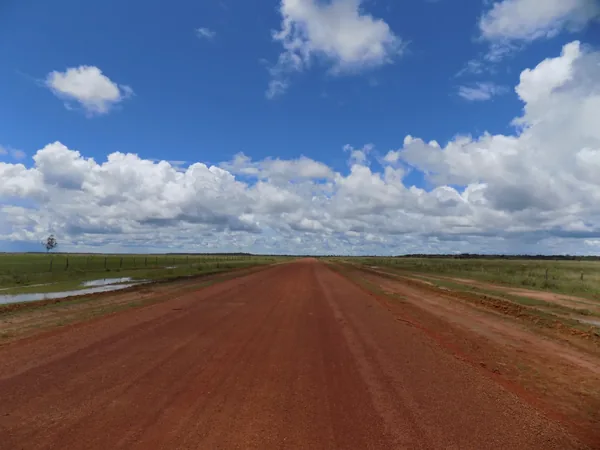
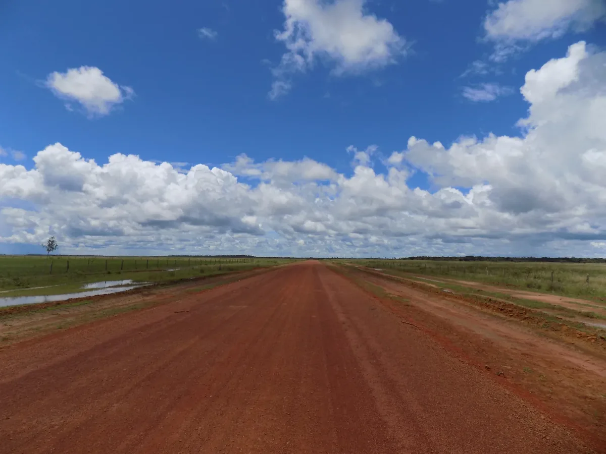
Road between La Primavera and Puerto Carreño
Carretera entre La Primavera y Puerto Carreño, Vichada · Seryoanroes · 2019
Original file open_in_new · CC BY-SA 4.0 open_in_new
Versions resized and compressed. Some previews are cropped. The stated license still applies.
Read the guide ↗See related guide ↗
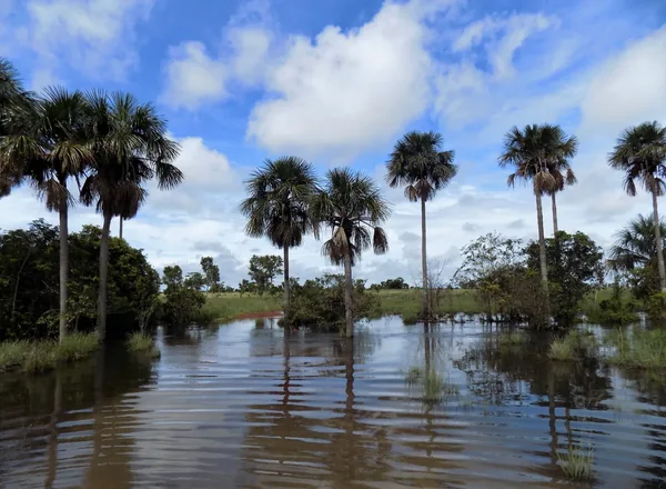
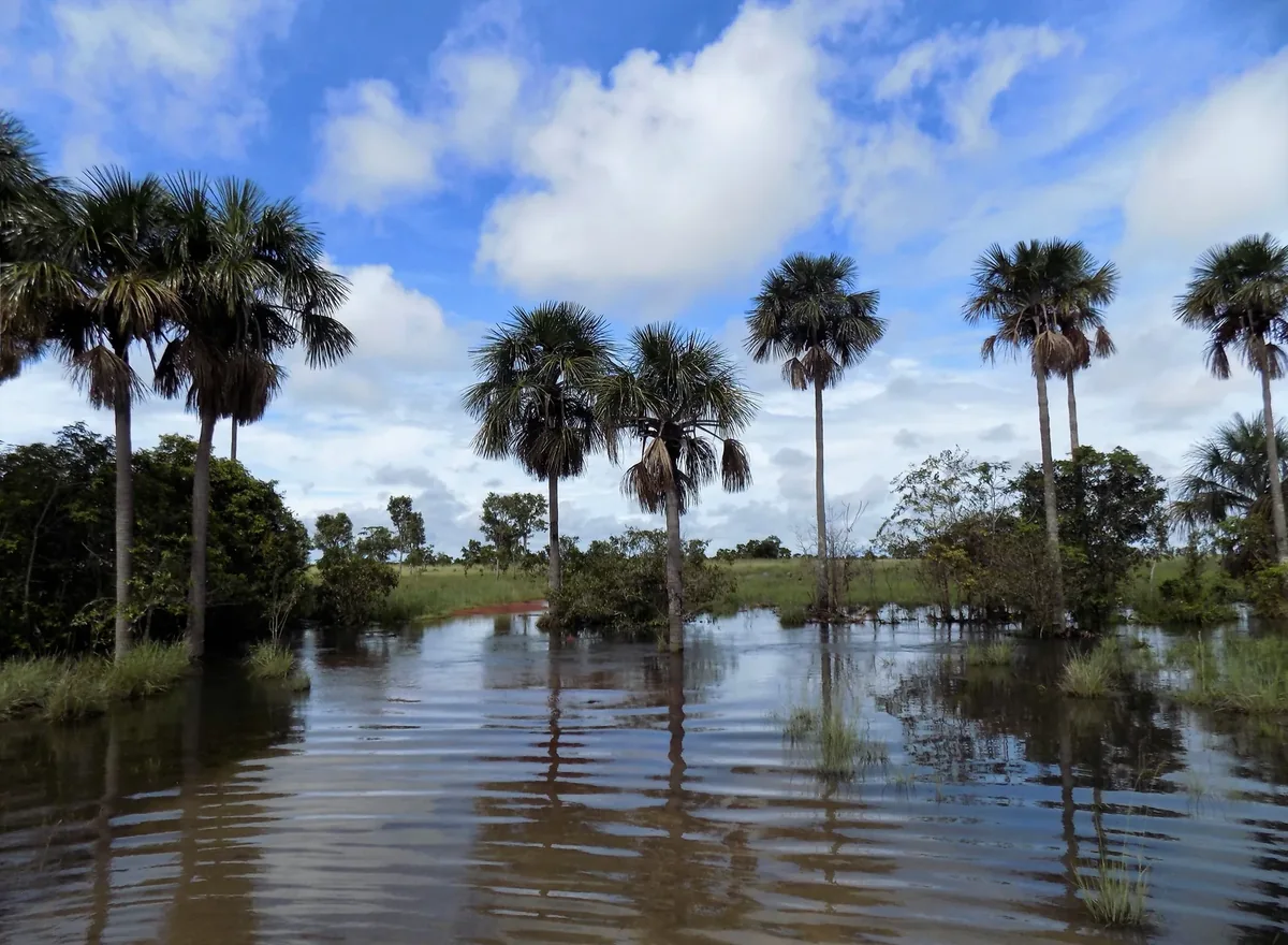
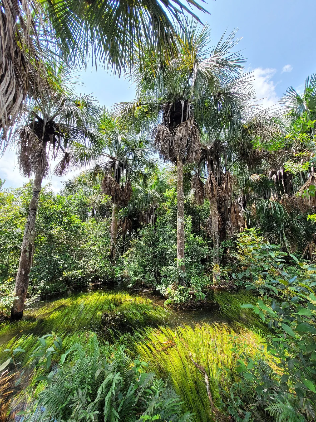
Moriche palms in a La Primavera wetland
Morichal en La Primavera, Vichada · Seryoanroes · 2019
Original file open_in_new · CC BY-SA 4.0 open_in_new
Versions resized and compressed. Some previews are cropped. The stated license still applies.
Read the guide ↗
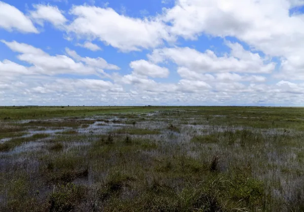
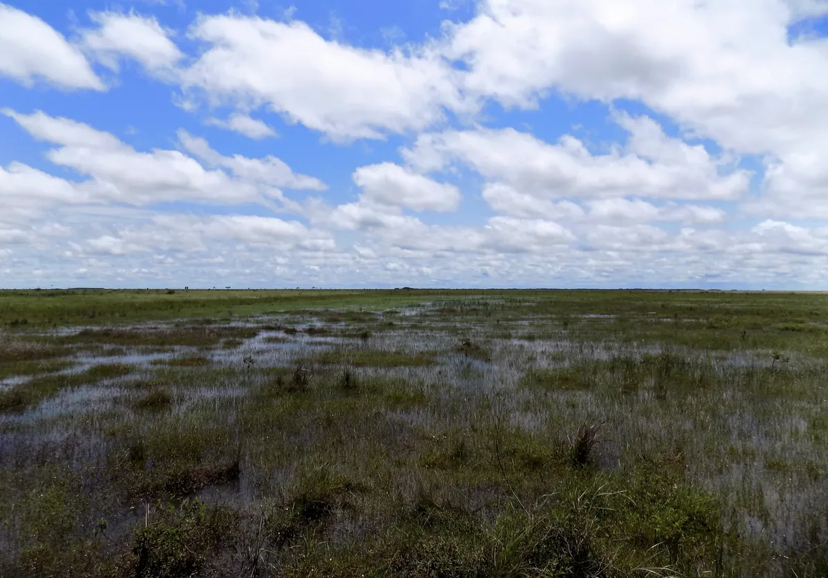
Flooded savanna in La Primavera
"Bajo" llanura inundada en La Primavera, Vichada · Seryoanroes · 2019
Original file open_in_new · CC BY-SA 4.0 open_in_new
Versions resized and compressed. Some previews are cropped. The stated license still applies.
Read the guide ↗
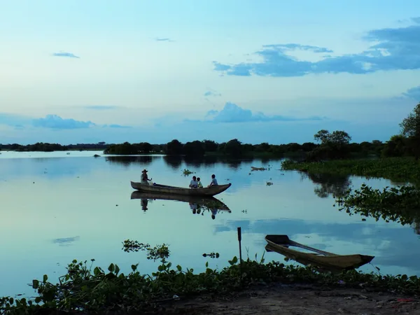
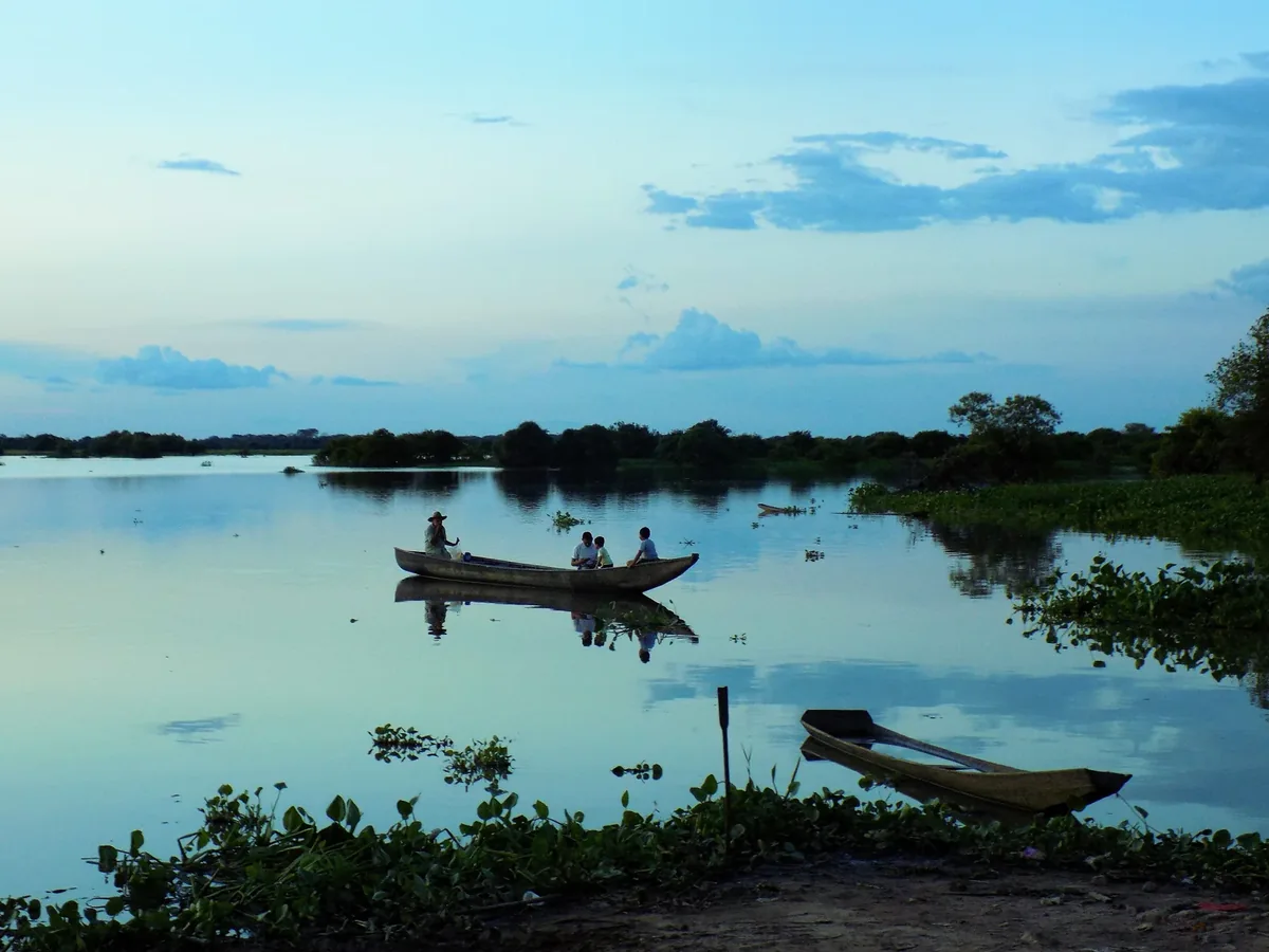
Fishers on La Primavera Lagoon
Pescadores en La Laguna de La Primavera, Vichada · Seryoanroes · 2014
Original file open_in_new · CC BY-SA 4.0 open_in_new
Versions resized and compressed. Some previews are cropped. The stated license still applies.
Read the guide ↗
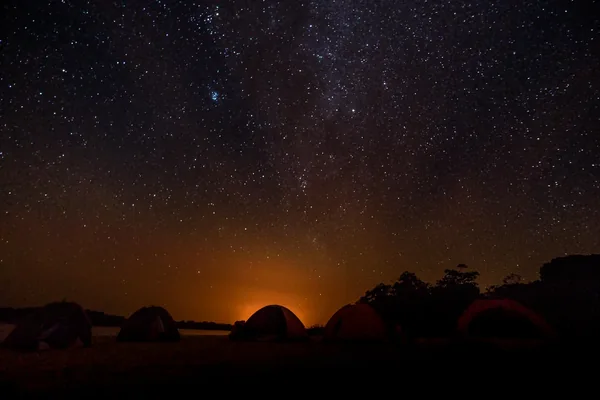
Night sky beside the Orinoco near El Tuparro
Una noche al lado del Paraiso · Colombiaamazinglandscapes · 2016
Original file open_in_new · CC BY-SA 4.0 open_in_new
Versions resized and compressed. Some previews are cropped. The stated license still applies.
Read the guide ↗
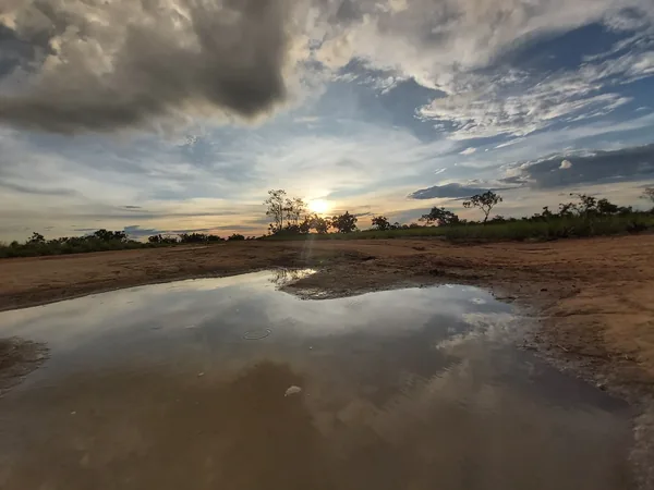
Sunset sky over the Puerto Carreño landscape
Puerto Carreño - Vichada · Sacrohell · 2022
Original file open_in_new · CC BY-SA 4.0 open_in_new
Versions resized and compressed. Some previews are cropped. The stated license still applies.
Read the guide ↗
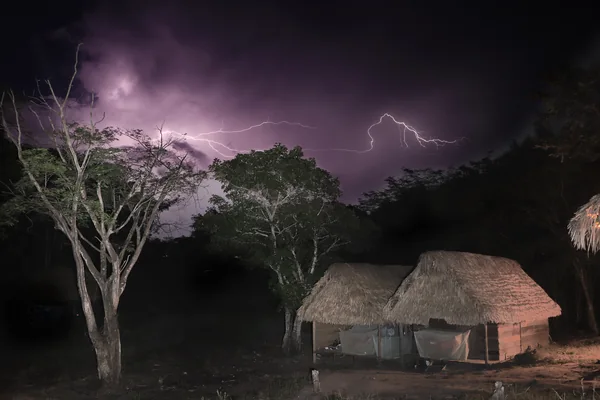
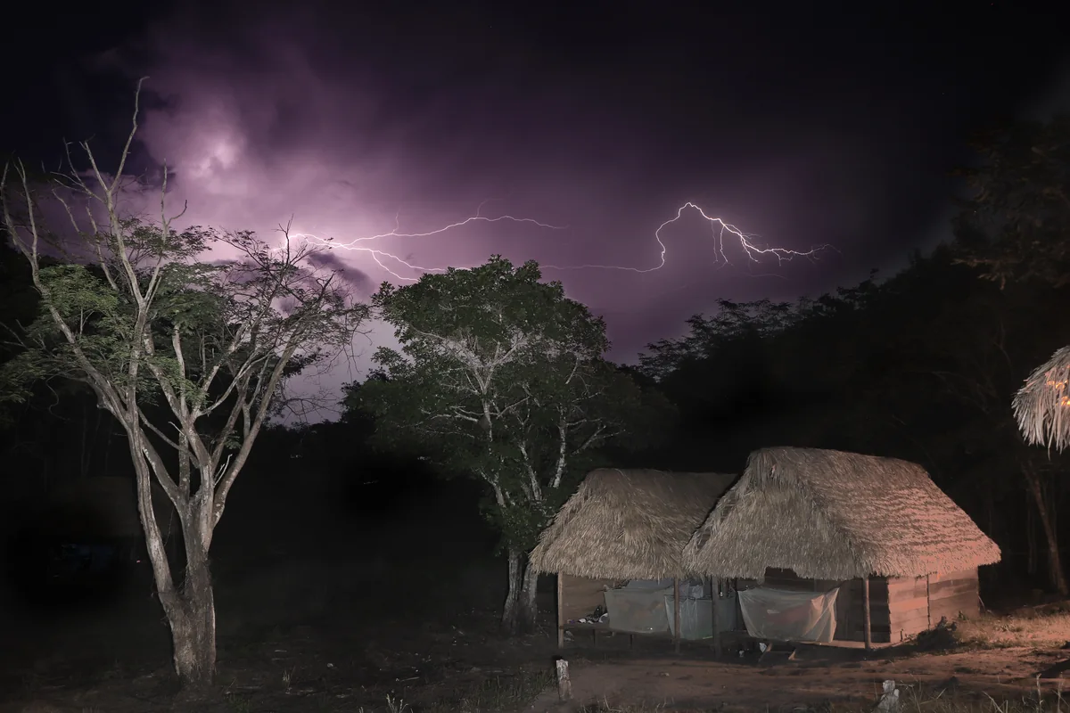
Lightning above a thatched building at Laguna Colorada in the Matavén forest
RS6306 01 MG 3687.jpg · Selvamatavenredd · 2017
Original file open_in_new · CC BY-SA 4.0 open_in_new
Versions resized and compressed. Some previews are cropped. The stated license still applies.
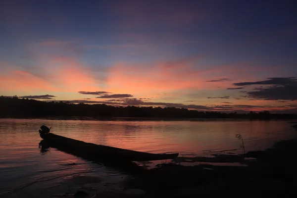
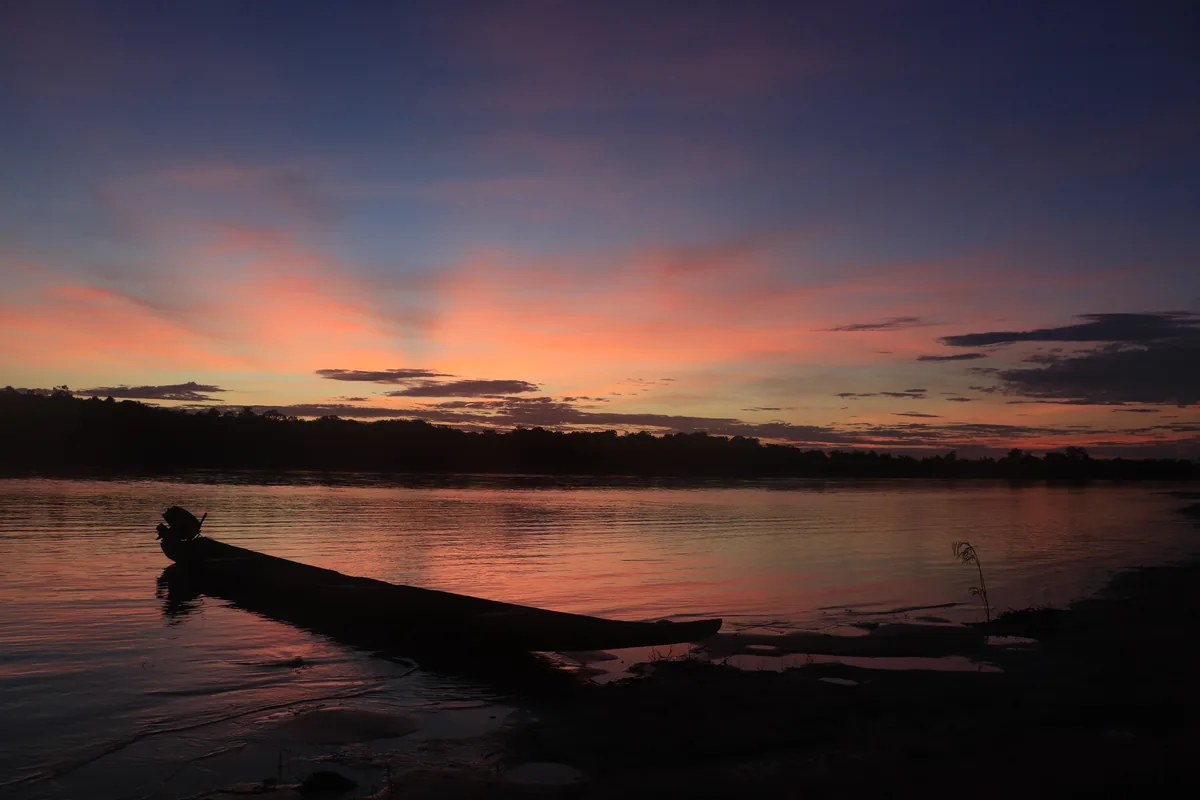
A canoe and silhouettes beside the river at sunset in the Matavén forest
RS6524 MG 3944.jpg · Selvamatavenredd · 2017
Original file open_in_new · CC BY-SA 4.0 open_in_new
Versions resized and compressed. Some previews are cropped. The stated license still applies.
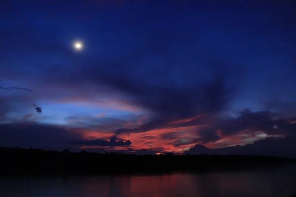
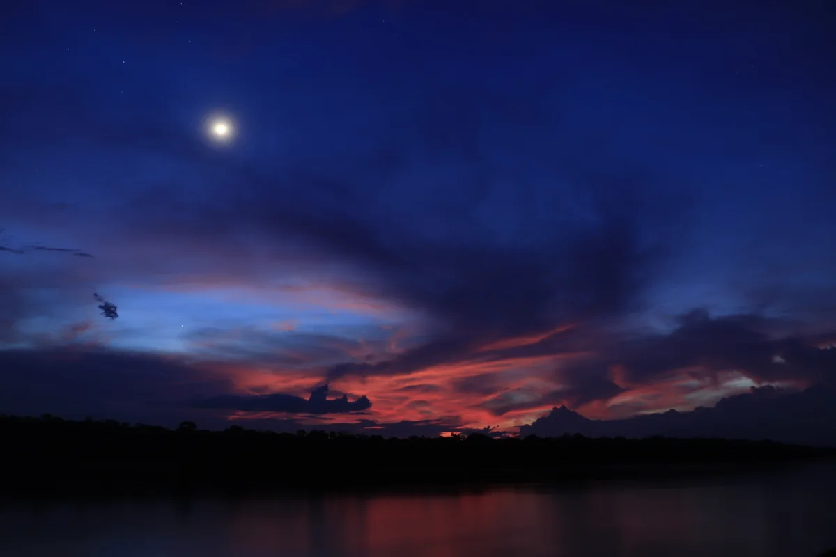
The moon above the river horizon at dusk in the Matavén forest
RS6661 MG 3651.jpg · Selvamatavenredd · 2017
Original file open_in_new · CC BY-SA 4.0 open_in_new
Versions resized and compressed. Some previews are cropped. The stated license still applies.
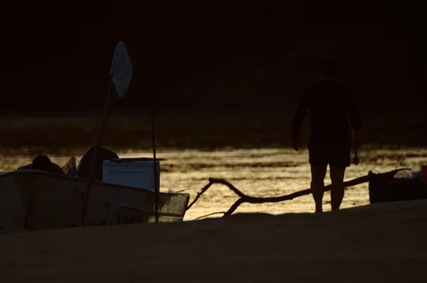
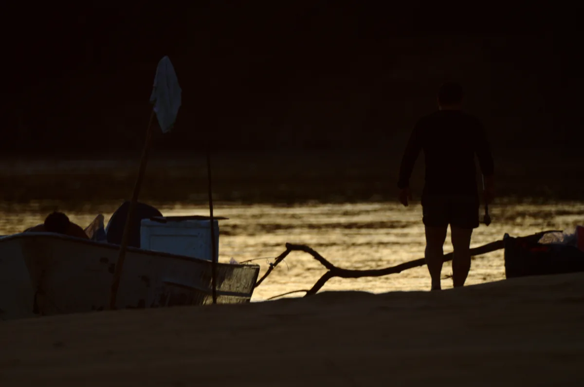
People and a boat beside the Bita River at dawn
Sunrise on the Bita River (34043399582).jpg · Luis Alejandro Bernal Romero http://aztlek.com · 2015
Original file open_in_new · CC BY-SA 2.0 open_in_new
Versions resized and compressed. Some previews are cropped. The stated license still applies.
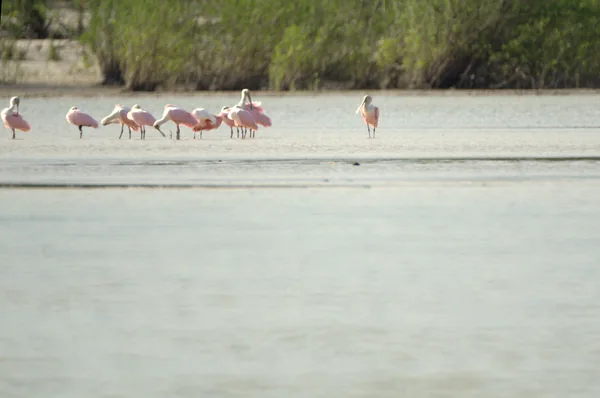
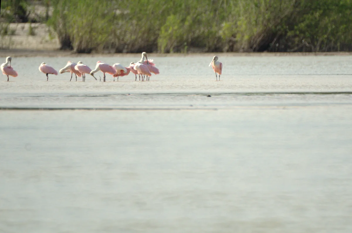
Roseate spoonbills in shallow water on the Bita River
Roseate spoonbill in the river Bita (33402884784).jpg · Luis Alejandro Bernal Romero http://aztlek.com · 2015
Original file open_in_new · CC BY-SA 2.0 open_in_new
Versions resized and compressed. Some previews are cropped. The stated license still applies.
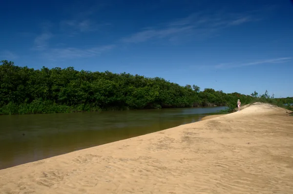
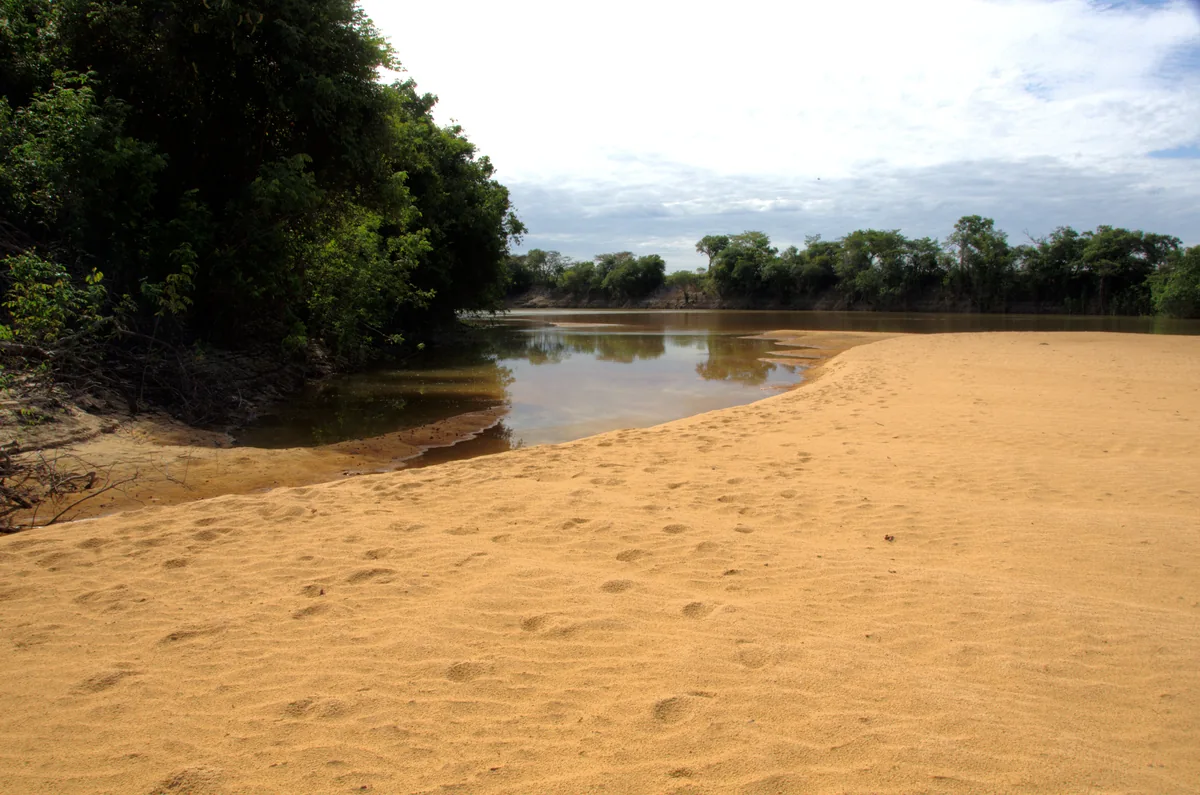
A sandy bank of the Bita River beside riverside vegetation
Beach on the Bita River 2 (34165407056).jpg · Luis Alejandro Bernal Romero http://aztlek.com · 2015
Original file open_in_new · CC BY-SA 2.0 open_in_new
Versions resized and compressed. Some previews are cropped. The stated license still applies.
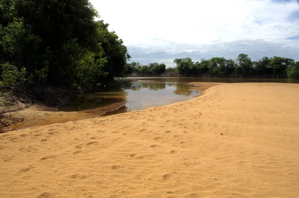
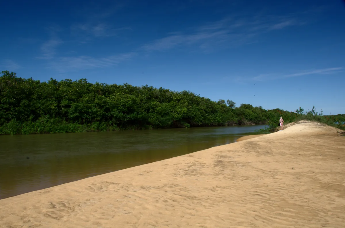
A sandy beach and riverside forest on the Bita River
Beach on the Bita River 1 (33395552893).jpg · Luis Alejandro Bernal Romero http://aztlek.com · 2015
Original file open_in_new · CC BY-SA 2.0 open_in_new
Versions resized and compressed. Some previews are cropped. The stated license still applies.
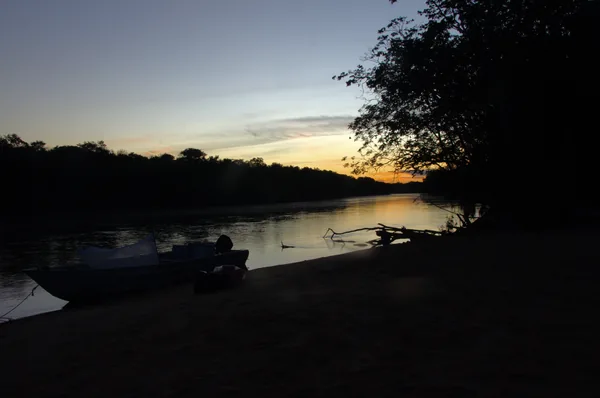
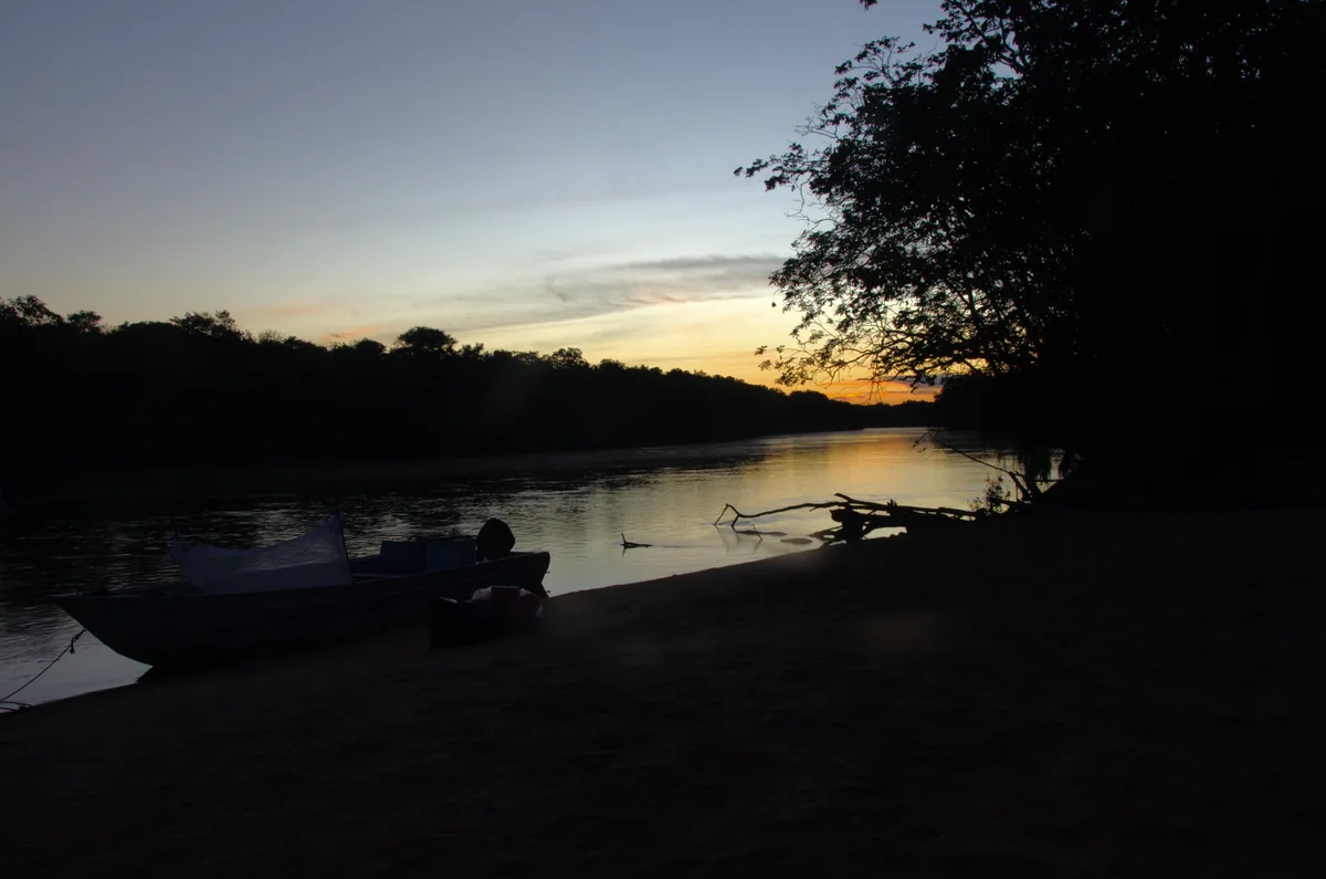
Canoes beside the bank of the Bita River at sunset
Sunset with canoe on the Bita river (33390088153).jpg · Luis Alejandro Bernal Romero http://aztlek.com · 2015
Original file open_in_new · CC BY-SA 2.0 open_in_new
Versions resized and compressed. Some previews are cropped. The stated license still applies.
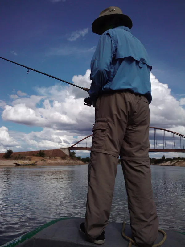
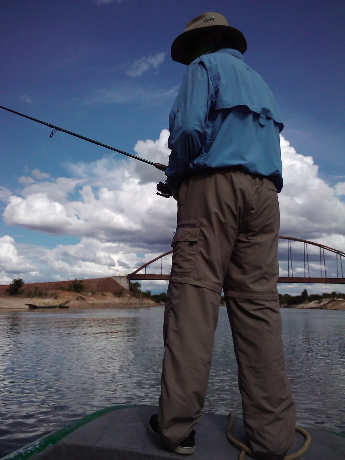
A person fishing with a rod beside the bridge over the Bita River
FISHING ACROSS THE BRIDGE ON RIVER BITA. - panoramio.jpg · Yuriy Shapiro · Take
Original file open_in_new · CC BY 3.0 open_in_new
Versions resized and compressed. Some previews are cropped. The stated license still applies.
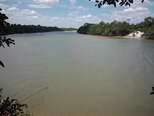
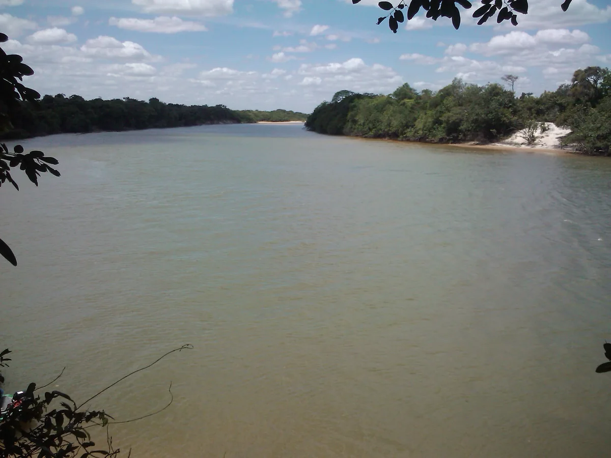
The Bita River viewed from a rise in Puerto Carreño municipality
РЕКА БИТА,взгляд с холма - panoramio.jpg · Yuriy Shapiro · Take
Original file open_in_new · CC BY 3.0 open_in_new
Versions resized and compressed. Some previews are cropped. The stated license still applies.
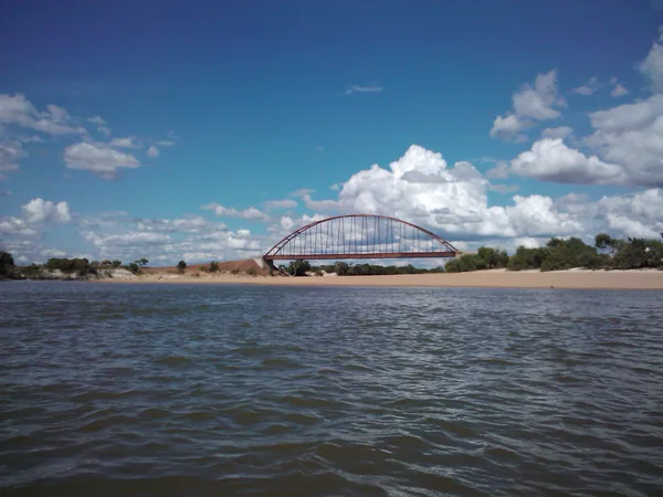
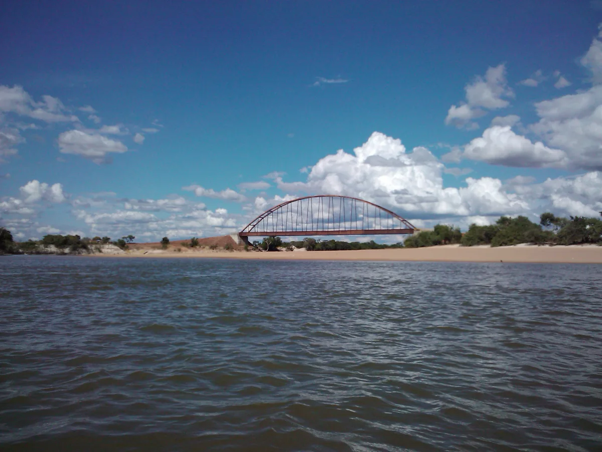
An arch bridge over the Bita River and a sandy bank
МОСТ ЧЕРЕЗ БИТУ И ПЛЯЖ - panoramio.jpg · Yuriy Shapiro · Take
Original file open_in_new · CC BY 3.0 open_in_new
Versions resized and compressed. Some previews are cropped. The stated license still applies.
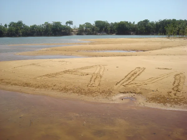
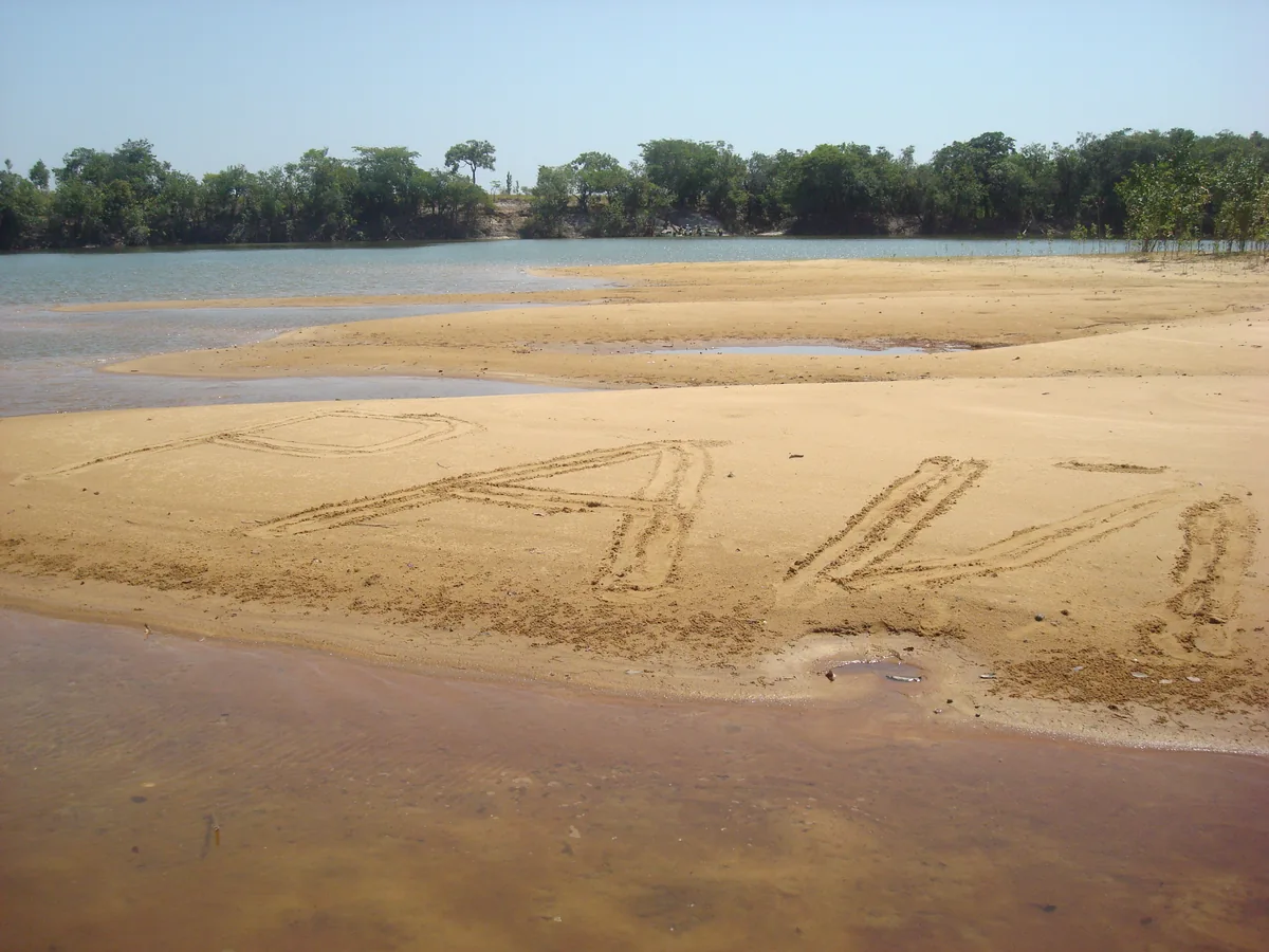
Sandbanks and riverside forest near Puerto Carreño
Рай - panoramio.jpg · Yuriy Shapiro · Take
Original file open_in_new · CC BY 3.0 open_in_new
Versions resized and compressed. Some previews are cropped. The stated license still applies.
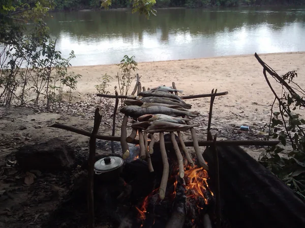
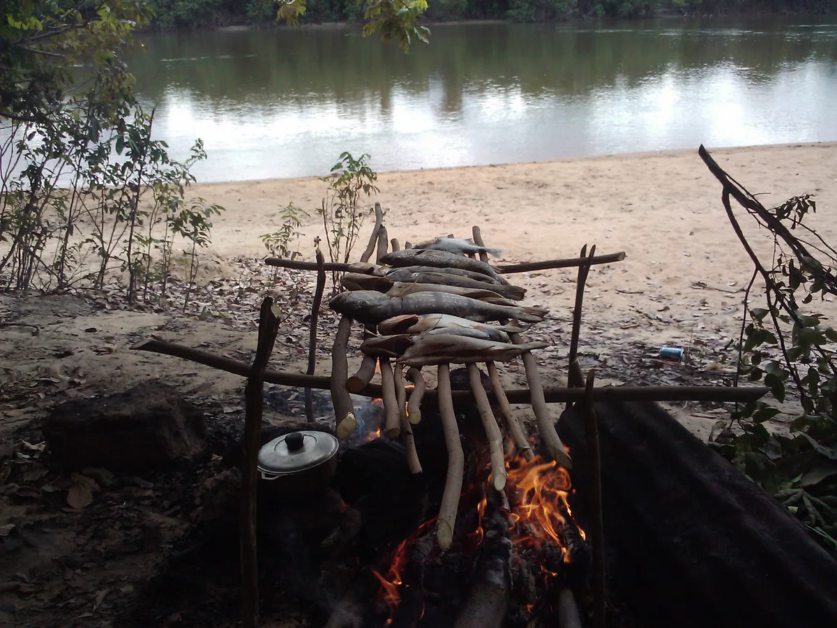
Fish roasting over a campfire beside a river near Puerto Carreño
АХ,КАКАЯ РЫБКА - panoramio.jpg · Yuriy Shapiro · Take
Original file open_in_new · CC BY 3.0 open_in_new
Versions resized and compressed. Some previews are cropped. The stated license still applies.
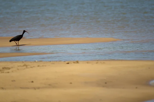
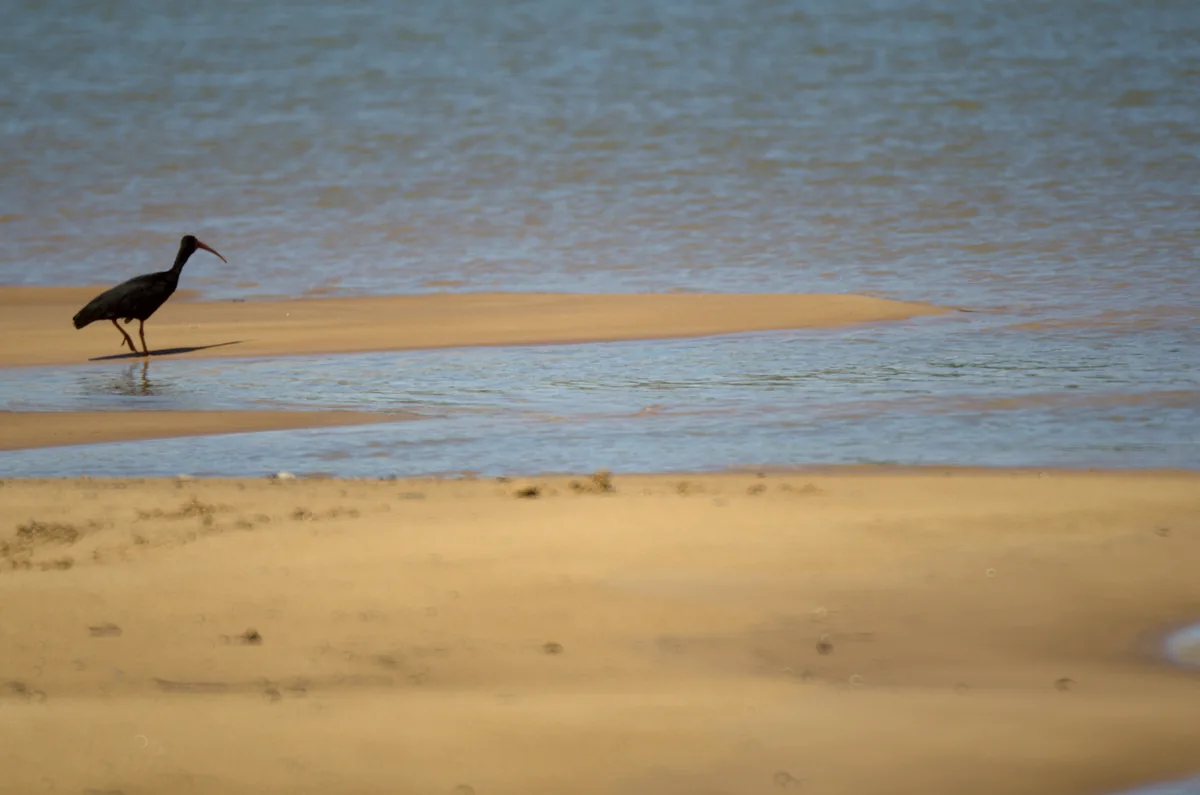
A bare-faced ibis on a sandbank in the Bita River
Black corocora 1 (33362565684).jpg · Luis Alejandro Bernal Romero http://aztlek.com · 2015
Original file open_in_new · CC BY-SA 2.0 open_in_new
Versions resized and compressed. Some previews are cropped. The stated license still applies.
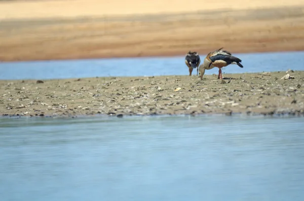
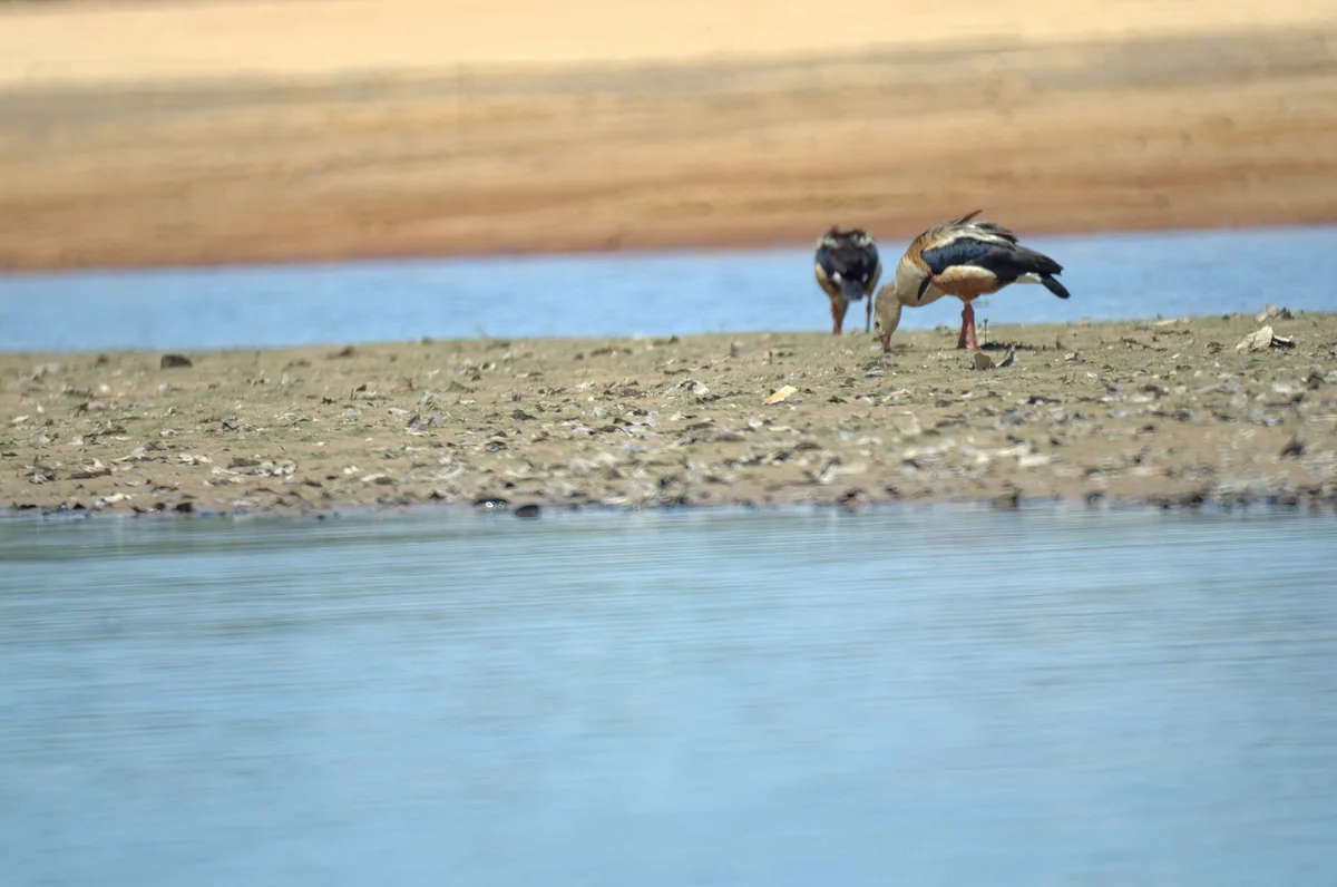
An Orinoco goose observed beside the Bita River
Orinoco goose (33815766180).jpg · Luis Alejandro Bernal Romero http://aztlek.com · 2015
Original file open_in_new · CC BY-SA 2.0 open_in_new
Versions resized and compressed. Some previews are cropped. The stated license still applies.
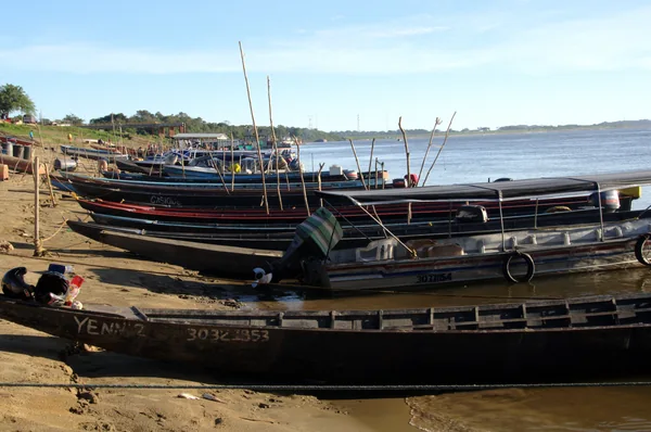
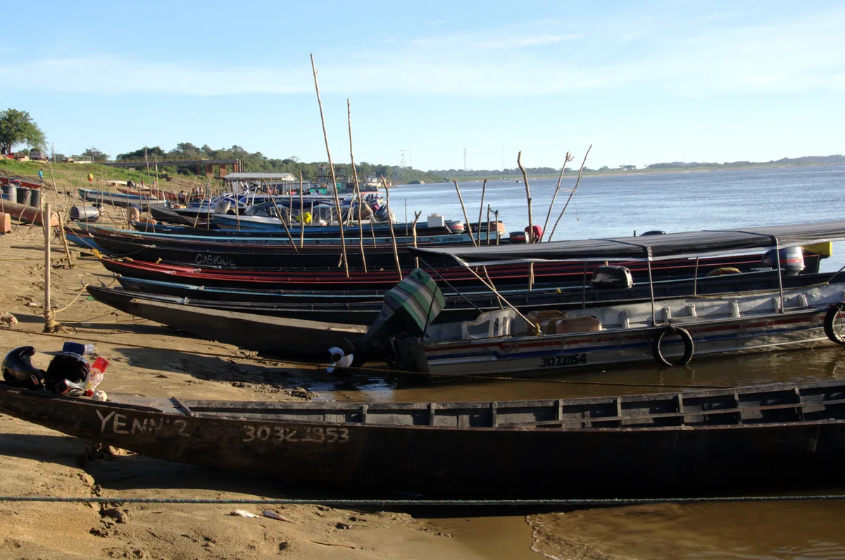
Canoes on the riverbank at Puerto Carreño
Canoes in Puerto Carreño (34088057692).jpg · Luis Alejandro Bernal Romero http://aztlek.com · 2015
Original file open_in_new · CC BY-SA 2.0 open_in_new
Versions resized and compressed. Some previews are cropped. The stated license still applies.
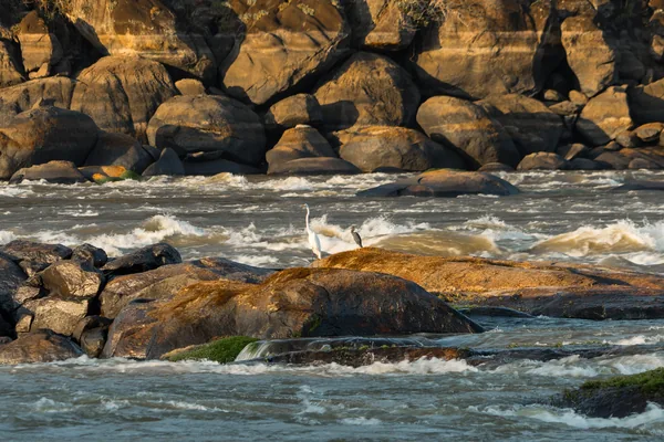
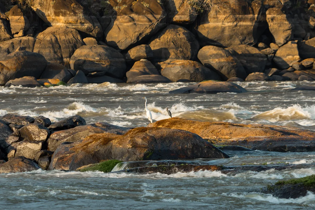
Herons on rocks among Orinoco currents in the El Tuparro area
Over the currents.jpg · Colombiaamazinglandscapes · 2016
Original file open_in_new · CC BY-SA 4.0 open_in_new
Versions resized and compressed. Some previews are cropped. The stated license still applies.
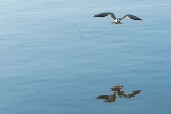
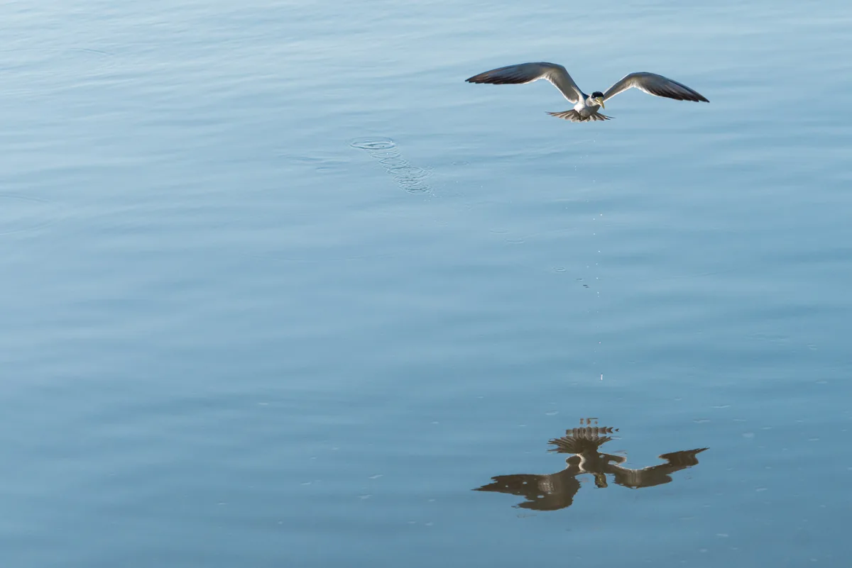
A large-billed tern flying above the water in the El Tuparro area
Looking for Breakfast.jpg · Colombiaamazinglandscapes · 9 Ja
Original file open_in_new · CC BY-SA 4.0 open_in_new
Versions resized and compressed. Some previews are cropped. The stated license still applies.
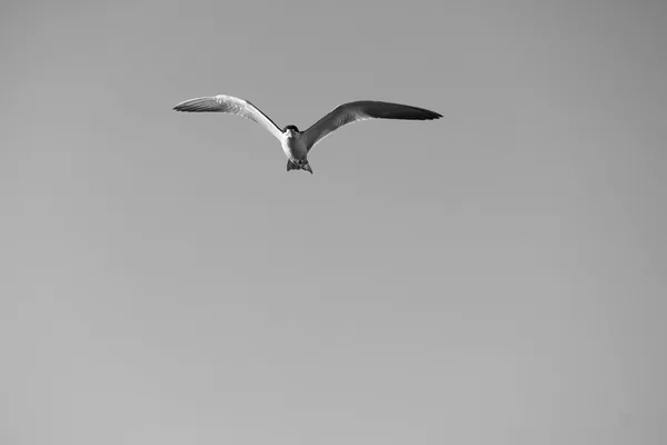
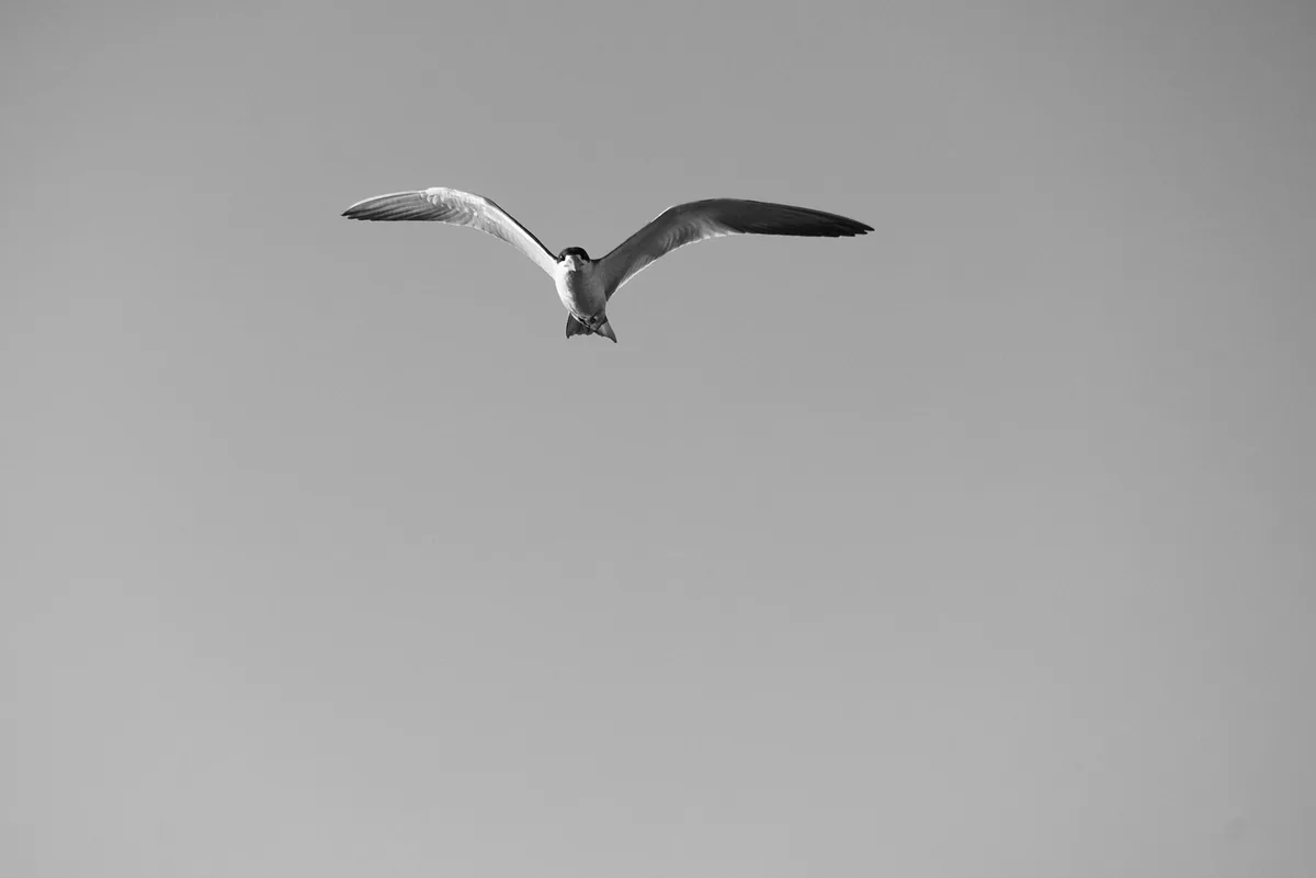
A large-billed tern in the El Tuparro area
I'm Watching you.jpg · Colombiaamazinglandscapes · 2016
Original file open_in_new · CC BY-SA 4.0 open_in_new
Versions resized and compressed. Some previews are cropped. The stated license still applies.
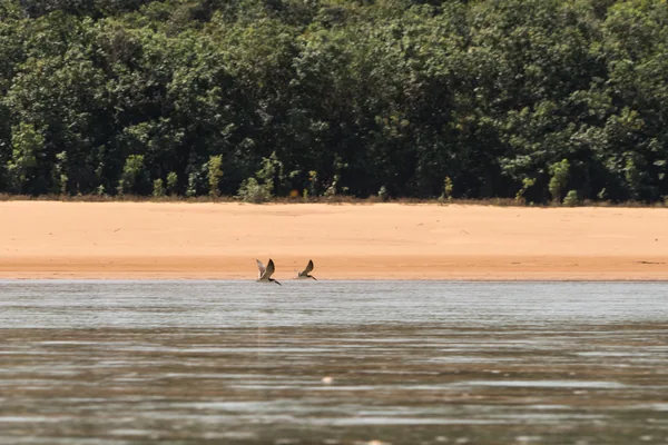
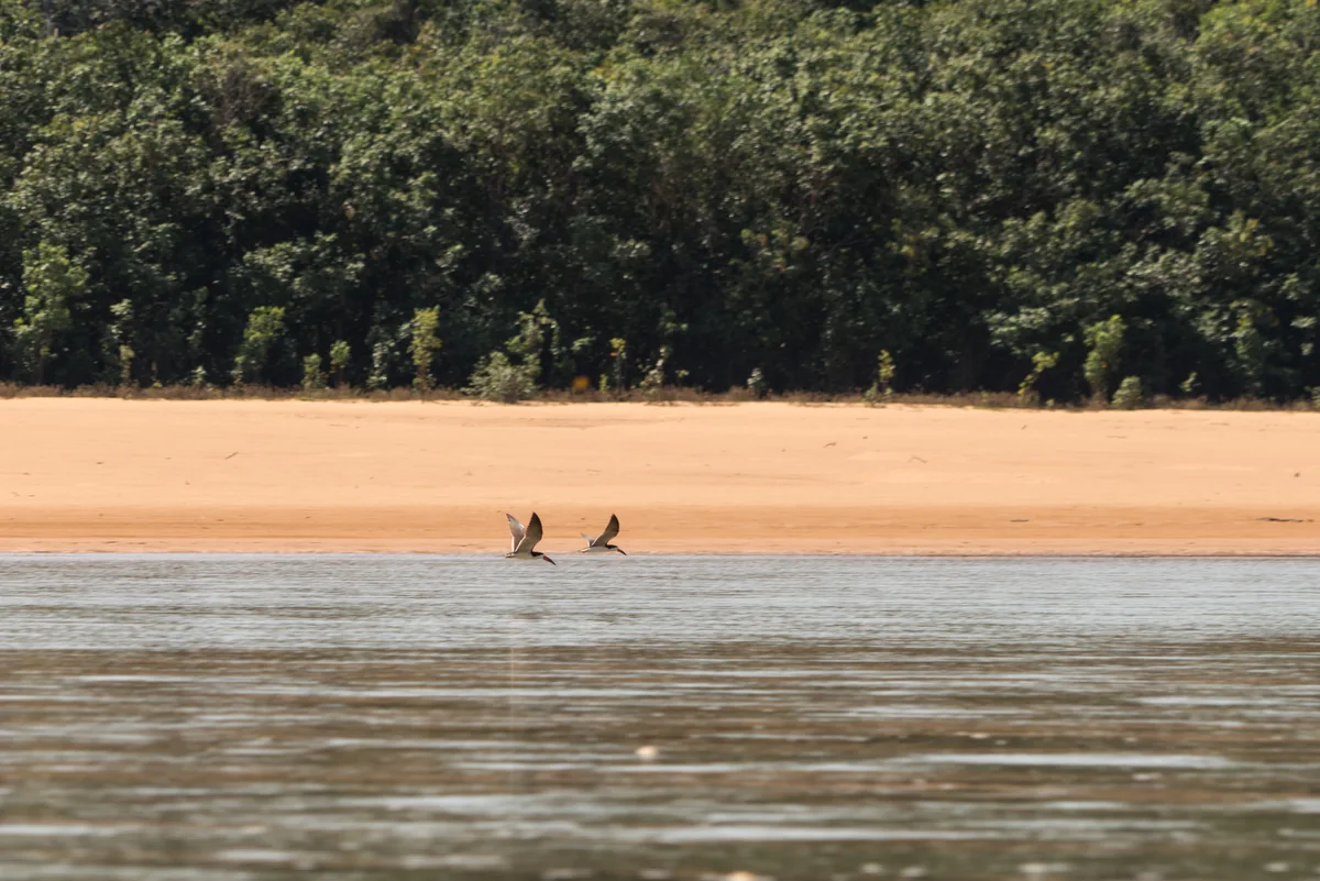
Black skimmers flying above an Orinoco beach in the El Tuparro area
Flying Partners.jpg · Colombiaamazinglandscapes · 2016
Original file open_in_new · CC BY-SA 4.0 open_in_new
Versions resized and compressed. Some previews are cropped. The stated license still applies.
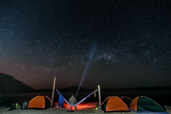
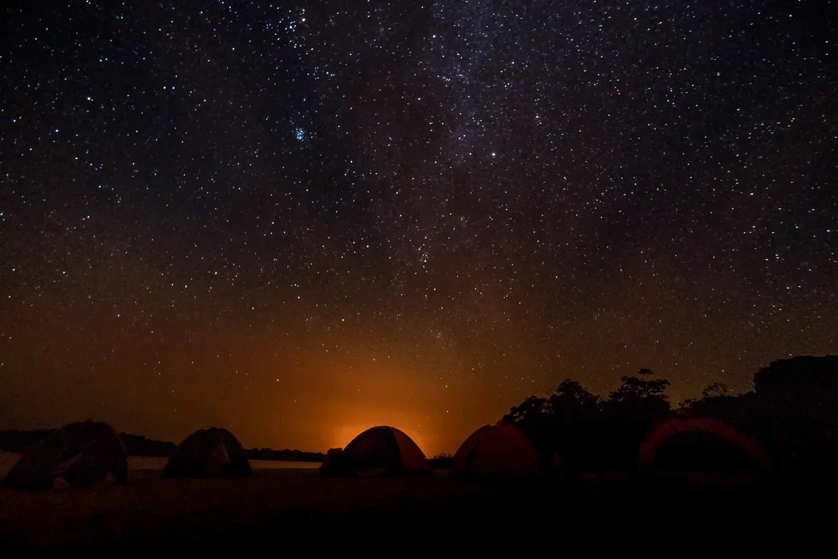
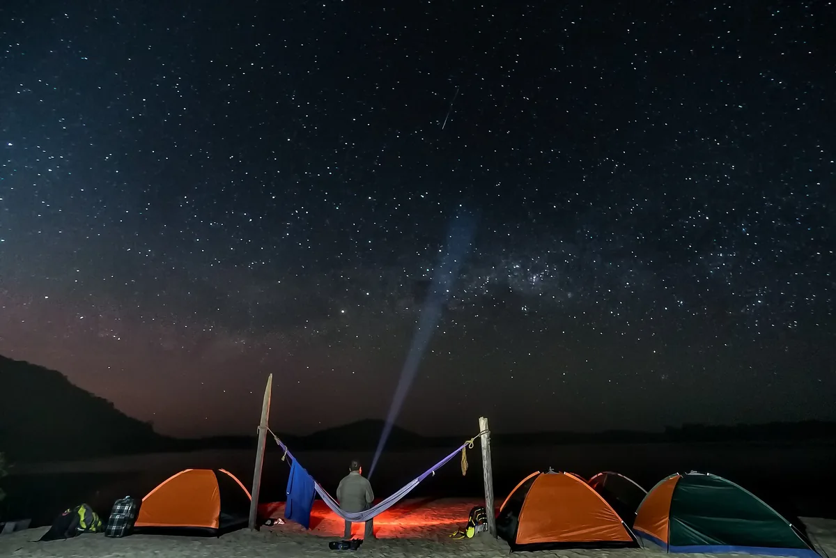
Camping tents beneath a starry sky in the El Tuparro area
Disfrutando de un Hotel de Mil Estrellas.jpg · Colombiaamazinglandscapes · 2016
Original file open_in_new · CC BY-SA 4.0 open_in_new
Versions resized and compressed. Some previews are cropped. The stated license still applies.
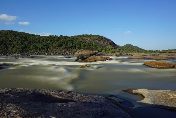
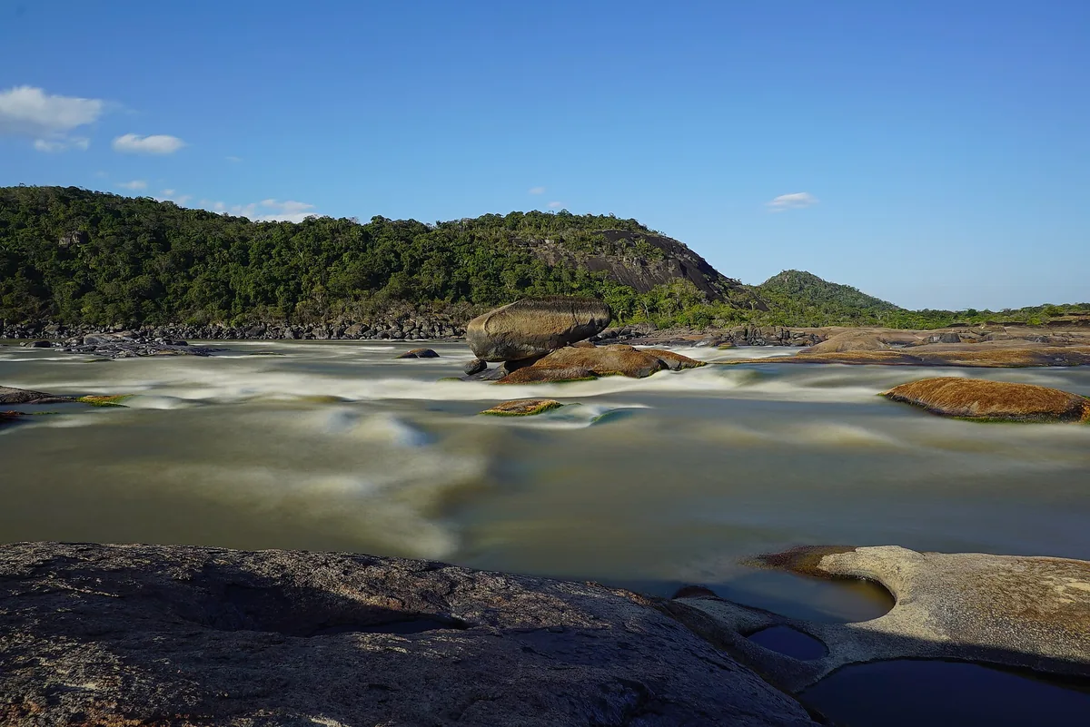
Water flowing between rock outcrops at the Maipures rapids
La octava Maravilla del Mundo segun Alexander Von Humboldt.jpg · Colombiaamazinglandscapes · 2016
Original file open_in_new · CC BY-SA 4.0 open_in_new
Versions resized and compressed. Some previews are cropped. The stated license still applies.
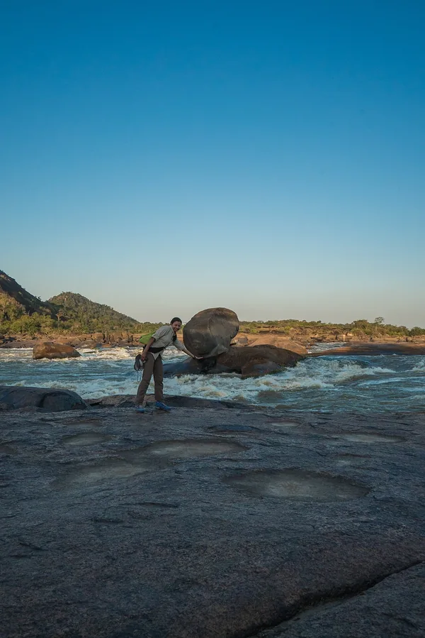
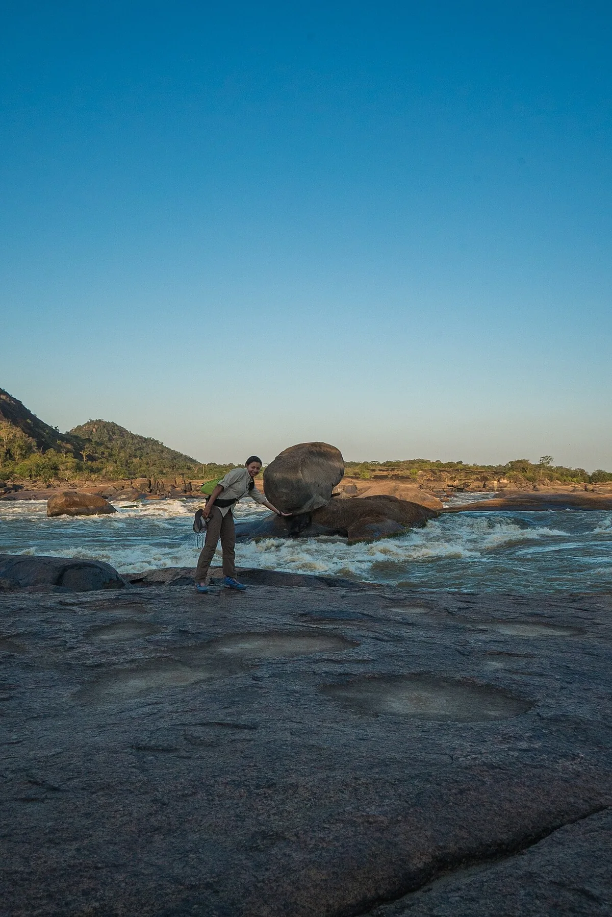
A balanced rock in the Maipures rapids area
The perfect balance in nature Tuparro Natural Park.jpg · Colombiaamazinglandscapes · 2016
Original file open_in_new · CC BY-SA 4.0 open_in_new
Versions resized and compressed. Some previews are cropped. The stated license still applies.
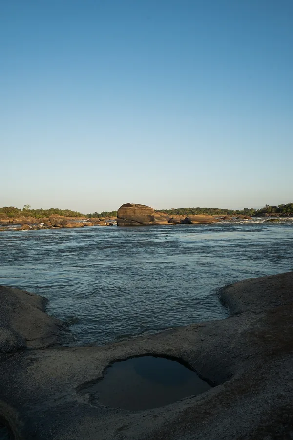
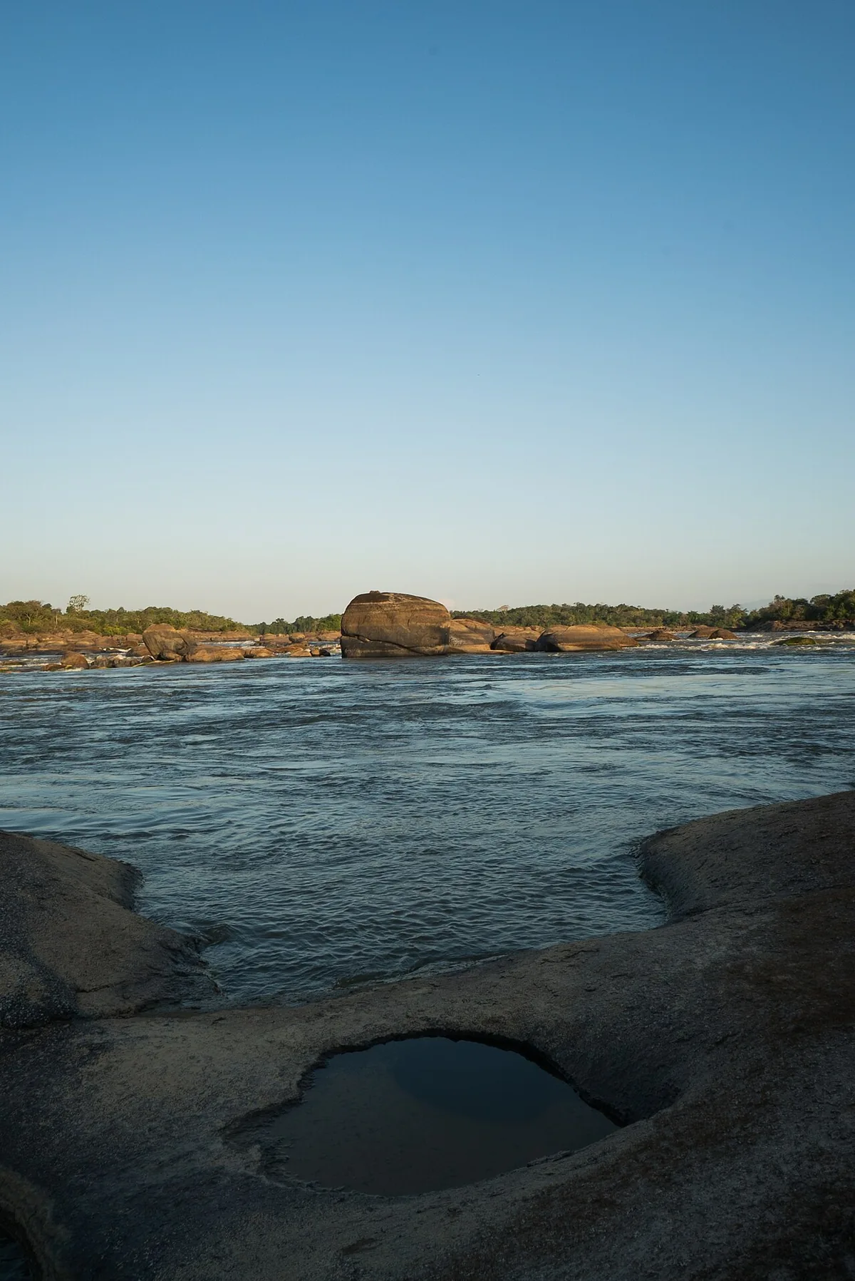
The rocky river landscape at the Maipures rapids
A landscape without comparison Tuparro Natural Park.jpg · Colombiaamazinglandscapes · 2016
Original file open_in_new · CC BY-SA 4.0 open_in_new
Versions resized and compressed. Some previews are cropped. The stated license still applies.
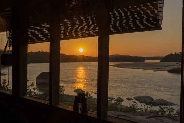
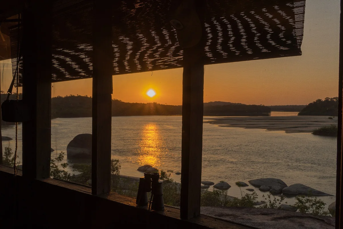
Sunrise over the Tuparro River viewed from a riverside building
Este sería el perfecto para Trabajar.jpg · Colombiaamazinglandscapes · 2016
Original file open_in_new · CC BY-SA 4.0 open_in_new
Versions resized and compressed. Some previews are cropped. The stated license still applies.
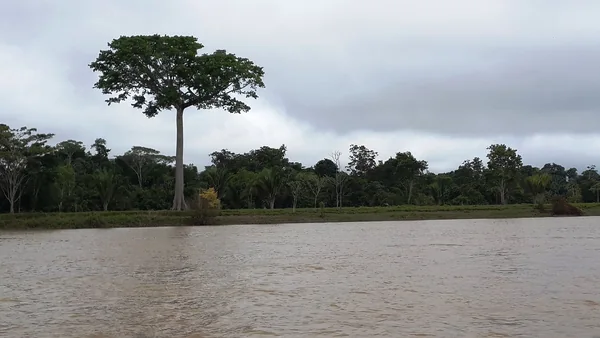
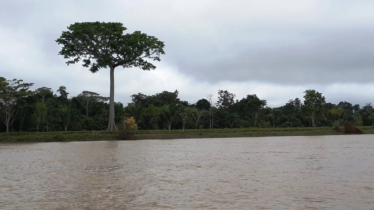
A large ceiba tree beside the Guaviare River in eastern Cumaribo
Ceiba gigante por el rio Guaviare - panoramio.jpg · CarlosE Duarte · Take
Original file open_in_new · CC BY 3.0 open_in_new
Versions resized and compressed. Some previews are cropped. The stated license still applies.
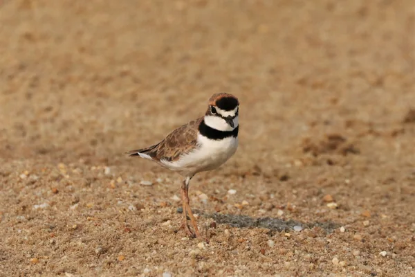
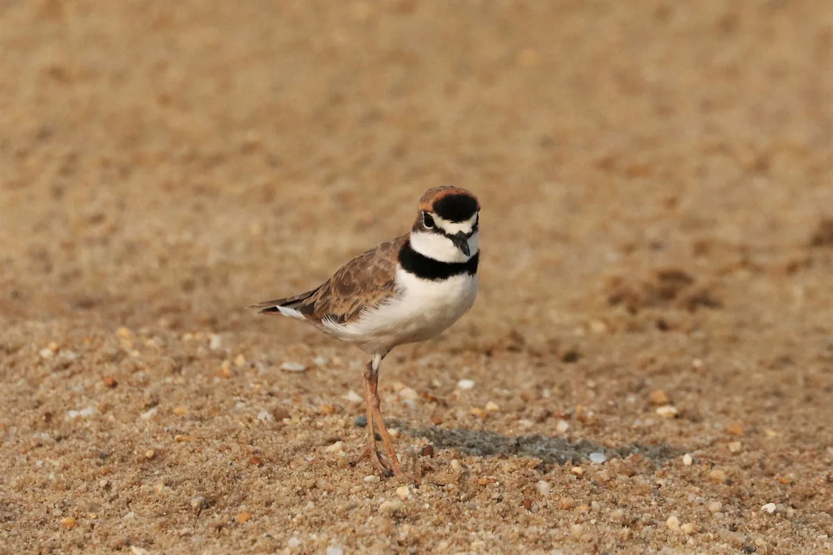
A collared plover observed in Cumaribo, Vichada
Charadrius collaris, Cumaribo, Vichada, Colombia 1.jpg · scaup · 2019
Original file open_in_new · CC BY 4.0 open_in_new
Versions resized and compressed. Some previews are cropped. The stated license still applies.
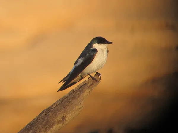
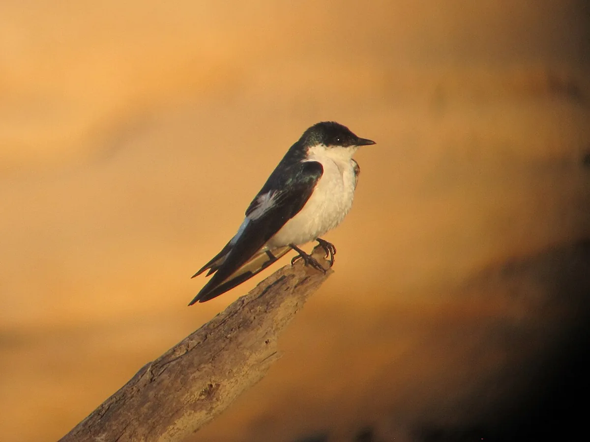
A white-winged swallow observed in Puerto Carreño, Vichada
Tachycineta albiventer Golondrina aliblanca White-winged Swallow (16412137681).jpg · Félix Uribe from Rionegro, Antioquia, Colombia · 2015
Original file open_in_new · CC BY-SA 2.0 open_in_new
Versions resized and compressed. Some previews are cropped. The stated license still applies.
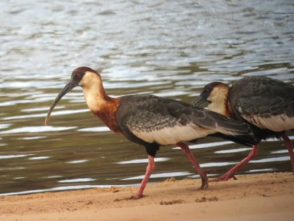
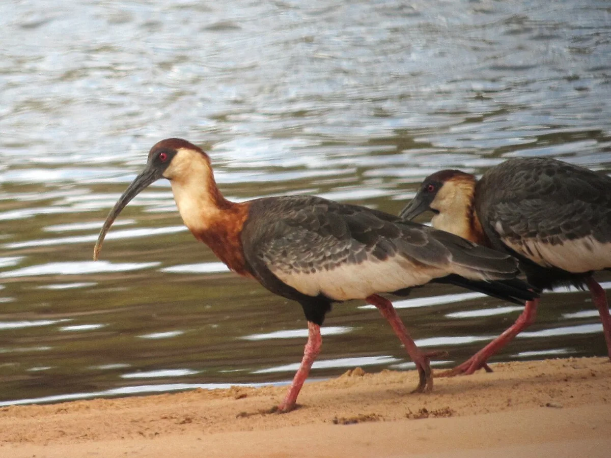
A buff-necked ibis observed in Puerto Carreño, Vichada
Theristicus caudatus Bandurria aliblanca Buff-necked Ibis (8485214811).jpg · Félix Uribe from Rionegro, Antioquia, Colombia · 2013
Original file open_in_new · CC BY-SA 2.0 open_in_new
Versions resized and compressed. Some previews are cropped. The stated license still applies.
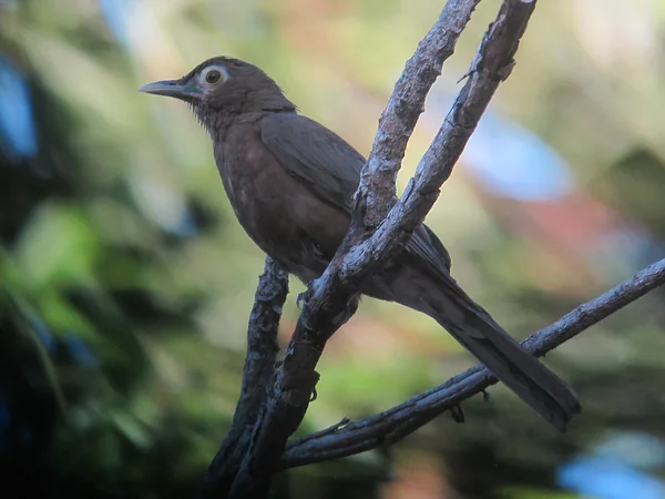
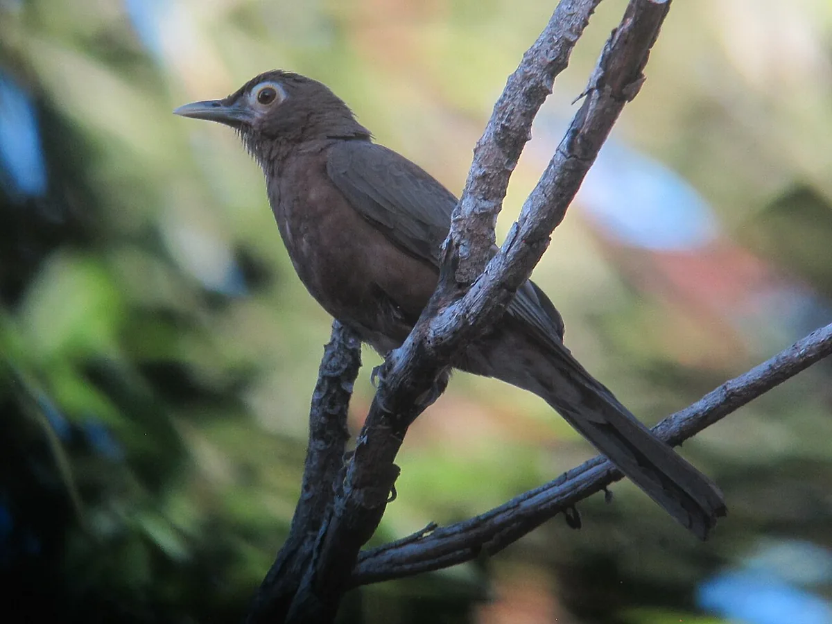
A spectacled thrush observed in Puerto Carreño, Vichada
Turdus nudigenis Mirla caripelada Spectacled Thrush (33196715776).jpg · Félix Uribe from Rionegro, Antioquia, Colombia · 2017
Original file open_in_new · CC BY-SA 2.0 open_in_new
Versions resized and compressed. Some previews are cropped. The stated license still applies.
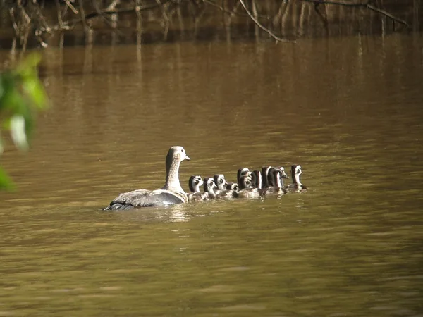
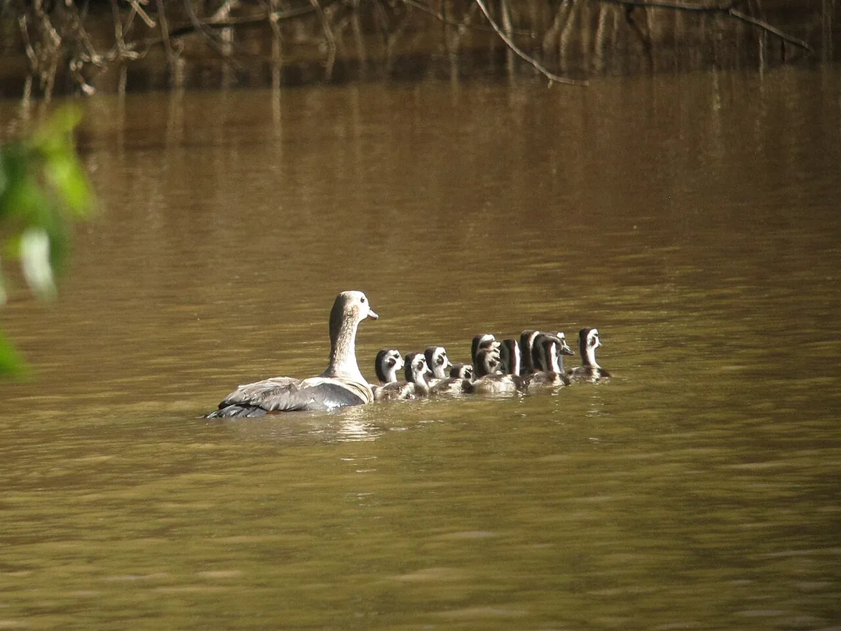
An Orinoco goose observed in Puerto Carreño, Vichada
Neochen jubata Pato carretero Orinoco Goose (33211815006).jpg · Félix Uribe from Rionegro, Antioquia, Colombia · 2017
Original file open_in_new · CC BY-SA 2.0 open_in_new
Versions resized and compressed. Some previews are cropped. The stated license still applies.
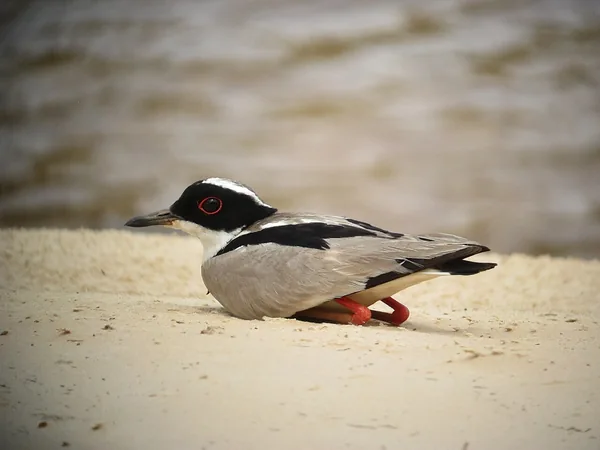
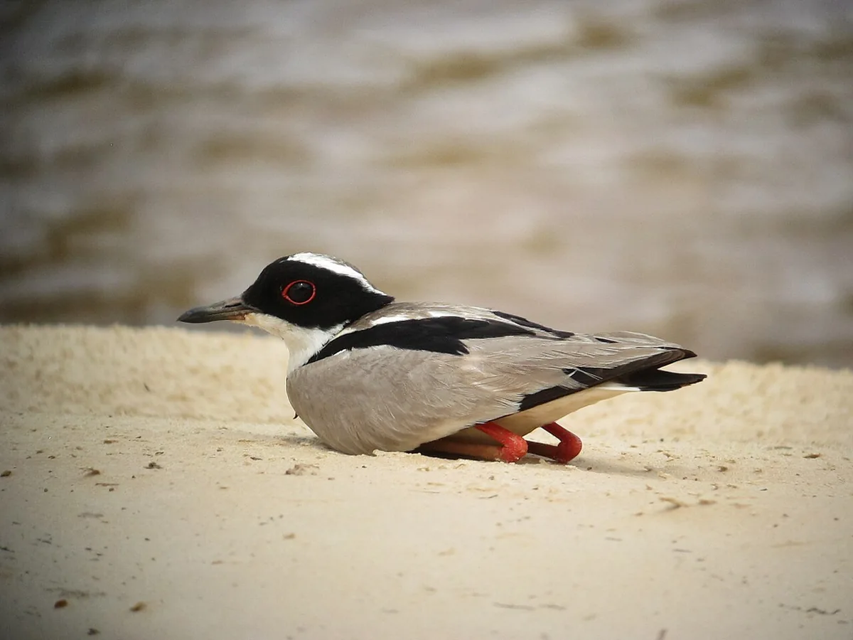
A pied lapwing observed in Puerto Carreño, Vichada
Vanellus cayanus Pellar playero Pied Lapwing (8492921534).jpg · Félix Uribe from Rionegro, Antioquia, Colombia · 2013
Original file open_in_new · CC BY-SA 2.0 open_in_new
Versions resized and compressed. Some previews are cropped. The stated license still applies.
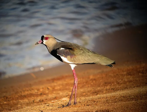
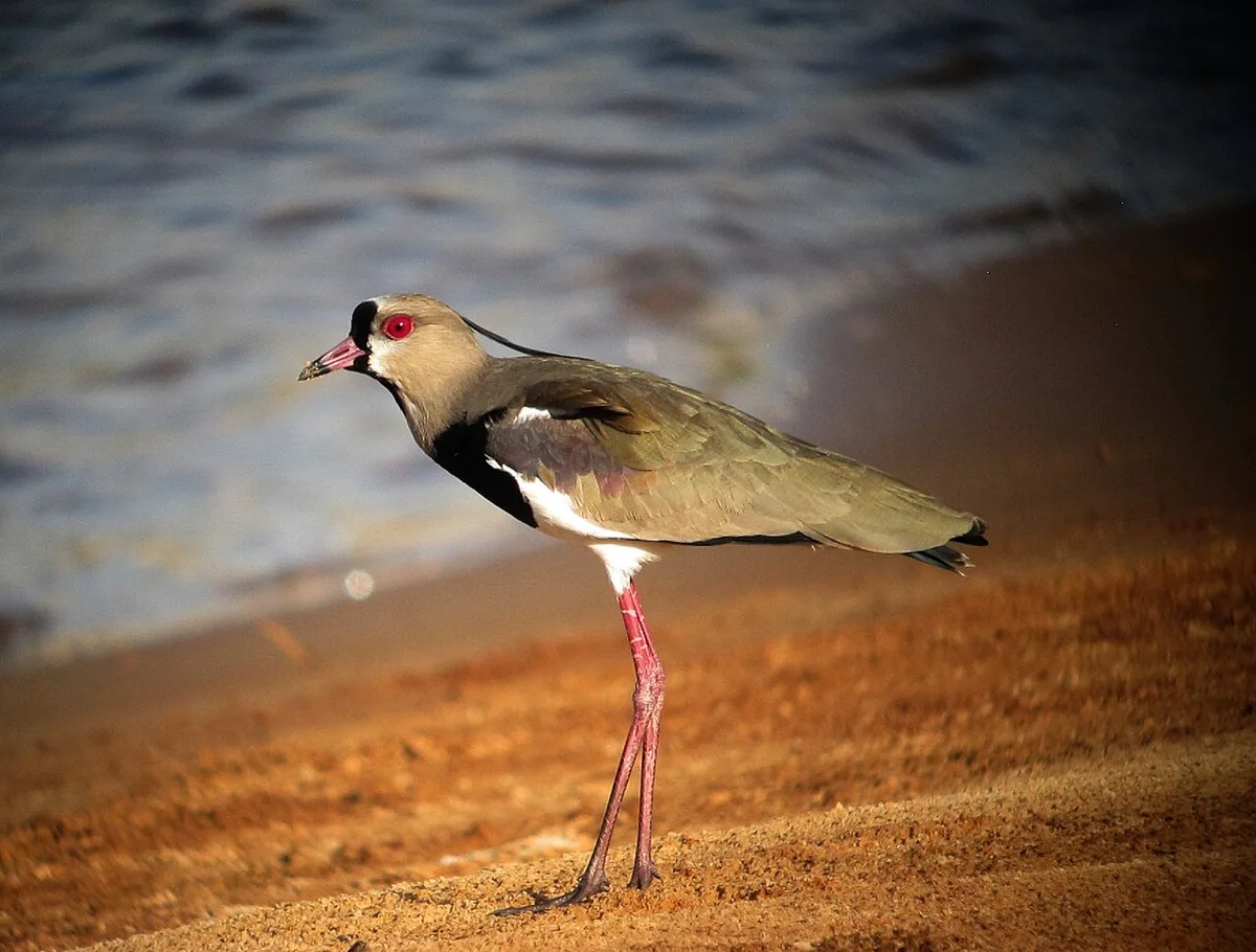
A southern lapwing observed in Puerto Carreño, Vichada
Vanellus chilensis Pellar Southern Lapwing (8491351003).jpg · Félix Uribe from Rionegro, Antioquia, Colombia · 2013
Original file open_in_new · CC BY-SA 2.0 open_in_new
Versions resized and compressed. Some previews are cropped. The stated license still applies.
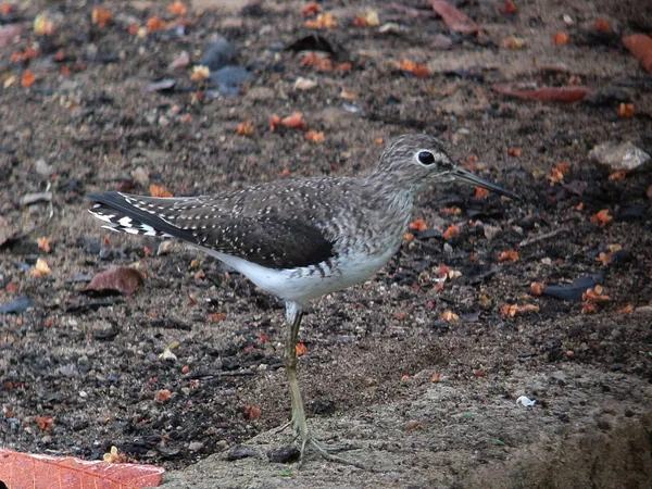
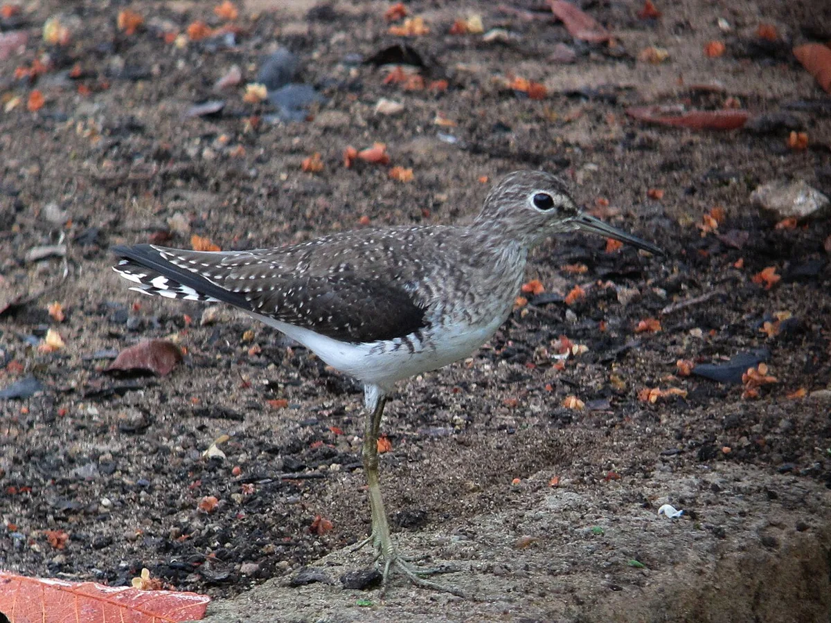
A solitary sandpiper observed in Puerto Carreño, Vichada
Tringa solitaria Andarríos solitario Solitary Sandpiper (8495696912).jpg · Félix Uribe from Rionegro, Antioquia, Colombia · 2013
Original file open_in_new · CC BY-SA 2.0 open_in_new
Versions resized and compressed. Some previews are cropped. The stated license still applies.
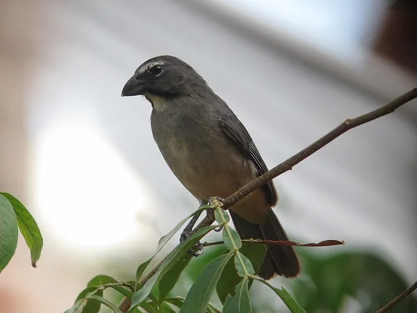
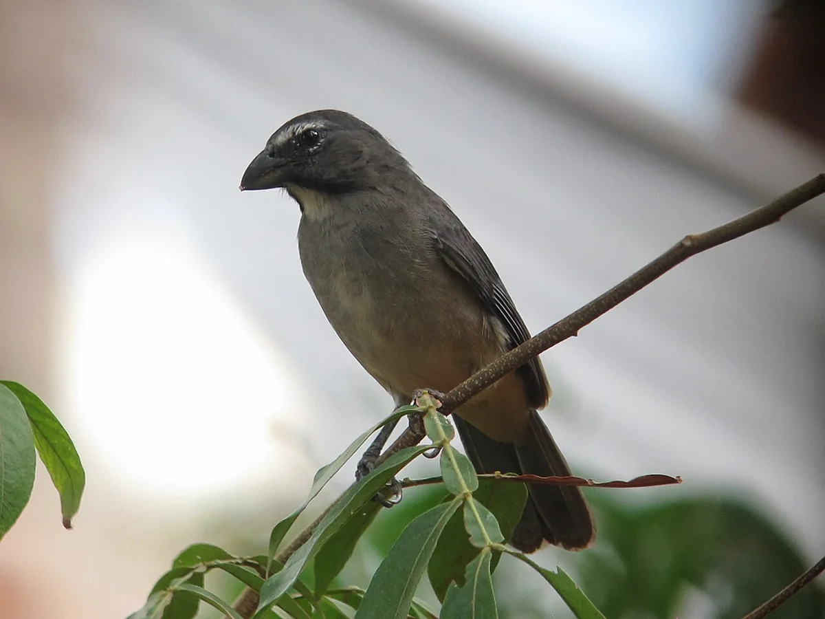
A grayish saltator observed in Puerto Carreño, Vichada
Saltator coerulescens Saltador papayero Greyish Saltator (17042436655).jpg · Félix Uribe from Rionegro, Antioquia, Colombia · 2015
Original file open_in_new · CC BY-SA 2.0 open_in_new
Versions resized and compressed. Some previews are cropped. The stated license still applies.
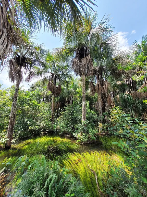
Water and moriche palms in a wetland identified by its author as being in Vichada
Morichal del humedal ramsar Vichada.jpg · Intimankiller · 2024
Original file open_in_new · CC BY 4.0 open_in_new
Versions resized and compressed. Some previews are cropped. The stated license still applies.
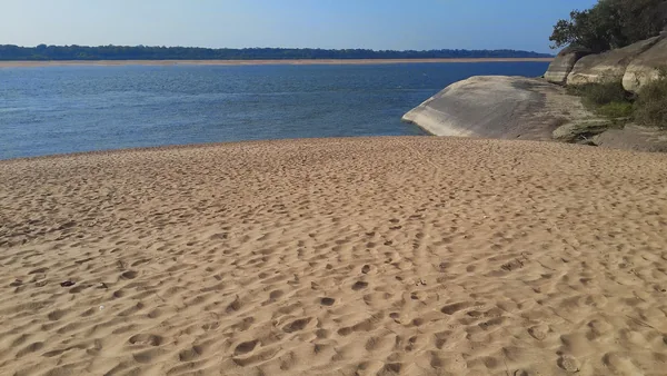
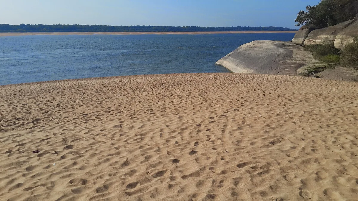
An Orinoco River beach at Puerto Carreño
Playas del rio Orinoco - panoramio.jpg · CarlosE Duarte · Take
Original file open_in_new · CC BY 3.0 open_in_new
Versions resized and compressed. Some previews are cropped. The stated license still applies.
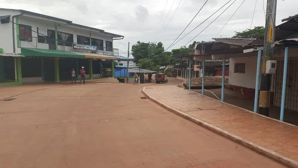
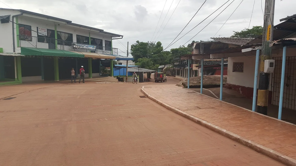
Puerto Carreño main street with buildings and shops
Calle principal de Puerto Carreño - panoramio.jpg · CarlosE Duarte · 2015
Original file open_in_new · CC BY 3.0 open_in_new
Versions resized and compressed. Some previews are cropped. The stated license still applies.
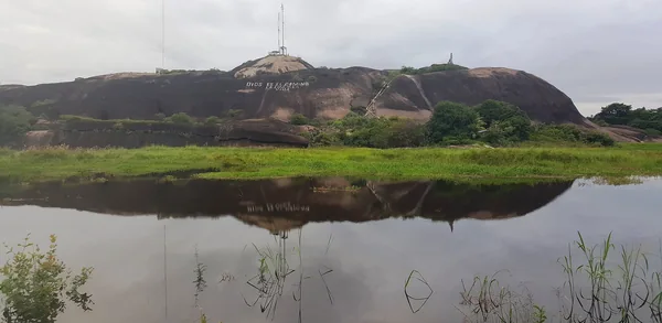
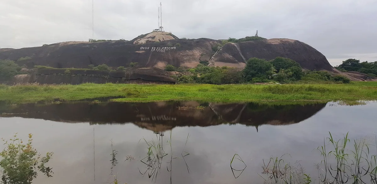
Cerro de la Bandera and its reflection in the water, Puerto Carreño
Cerro La Bandera, Puerto Carreño - panoramio.jpg · CarlosE Duarte · 2015
Original file open_in_new · CC BY 3.0 open_in_new
Versions resized and compressed. Some previews are cropped. The stated license still applies.
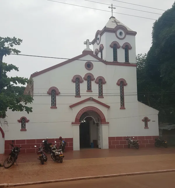
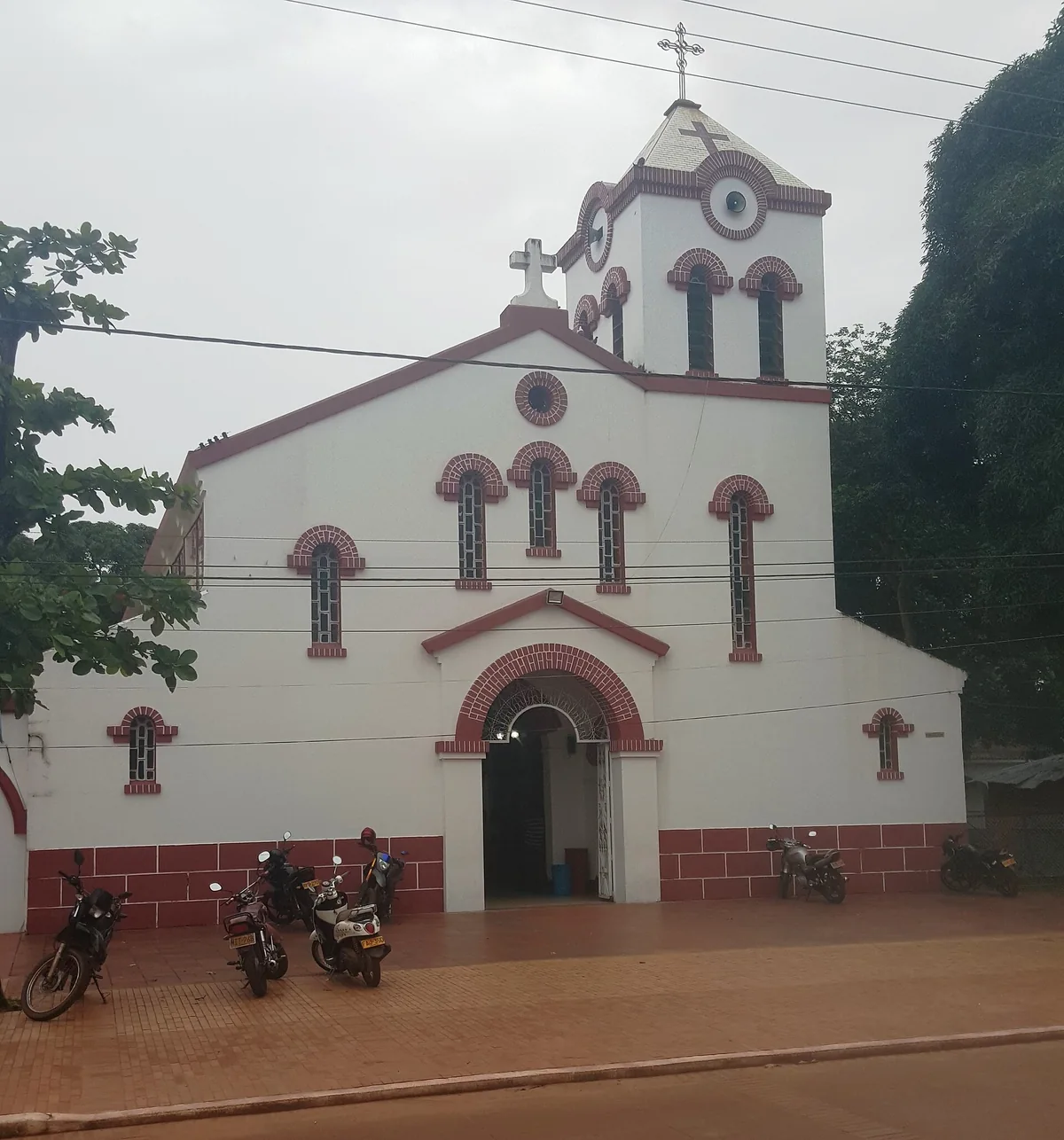
Church facade in Puerto Carreño
Iglesia de Puerto Carreño - panoramio.jpg · CarlosE Duarte · 2015
Original file open_in_new · CC BY 3.0 open_in_new
Versions resized and compressed. Some previews are cropped. The stated license still applies.
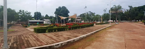
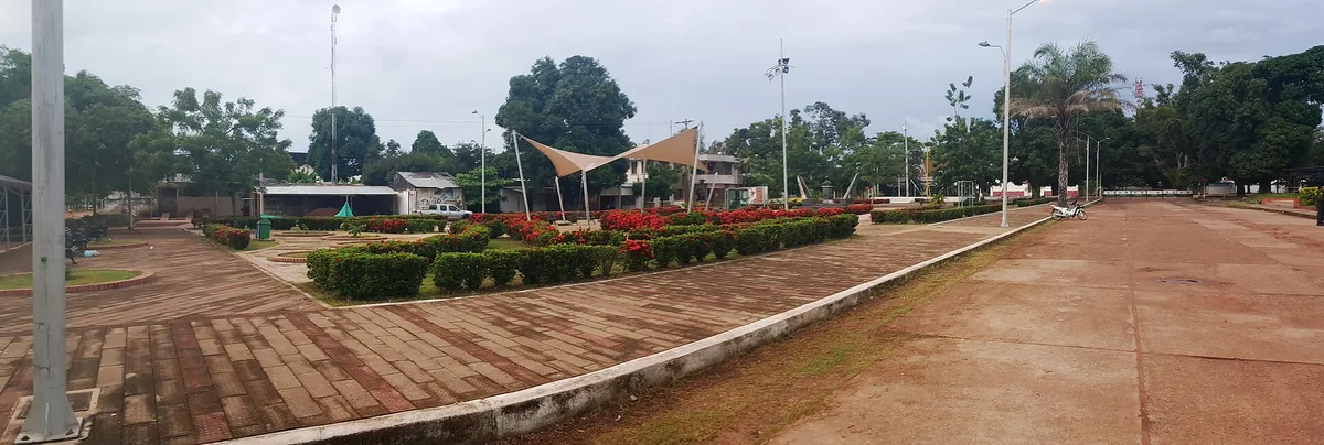
Puerto Carreño main square and its pavilion
Parque Principal Puerto Carreño - panoramio.jpg · CarlosE Duarte · 2015
Original file open_in_new · CC BY 3.0 open_in_new
Versions resized and compressed. Some previews are cropped. The stated license still applies.
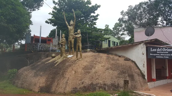
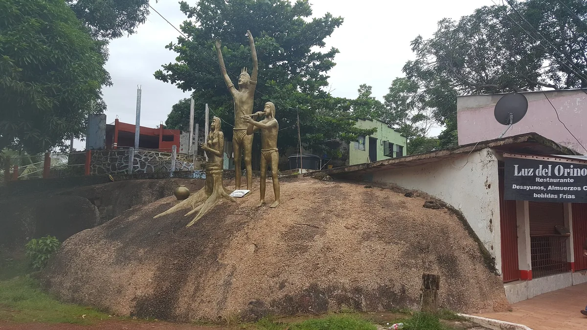
Monument on a rock outcrop in Puerto Carreño
Puerto Carreño, Vichada - panoramio.jpg · CarlosE Duarte · 2015
Original file open_in_new · CC BY 3.0 open_in_new
Versions resized and compressed. Some previews are cropped. The stated license still applies.
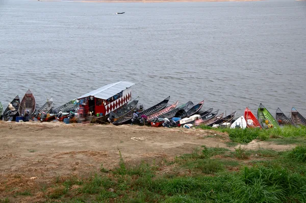
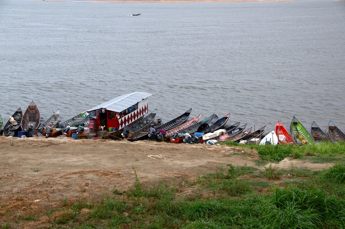
Boats moored along the Puerto Carreño waterfront
Puerto Carreño (34090834132).jpg · Luis Alejandro Bernal Romero http://aztlek.com · 2015
Original file open_in_new · CC BY-SA 2.0 open_in_new
Versions resized and compressed. Some previews are cropped. The stated license still applies.
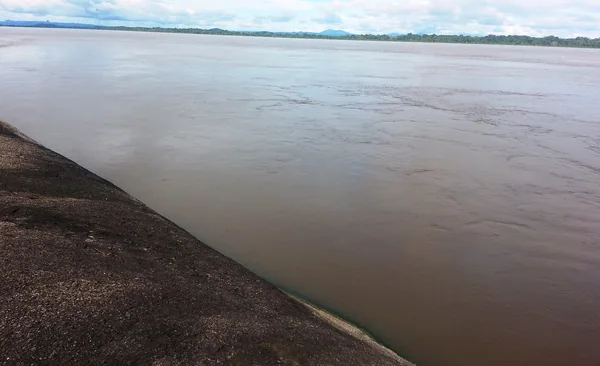
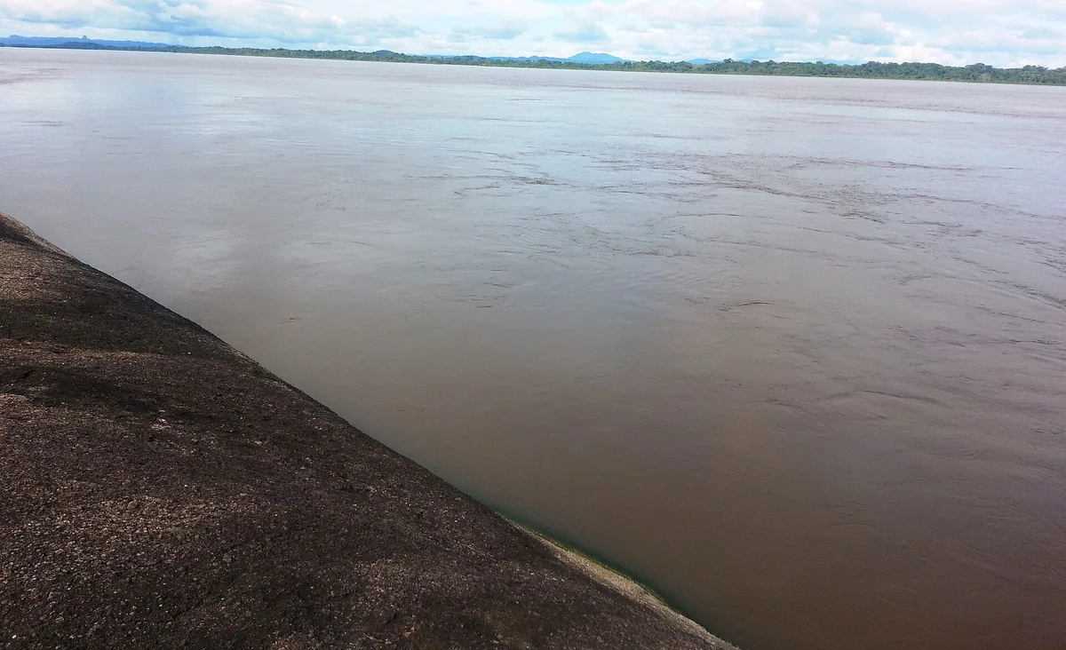
The Orinoco River from the Puerto Carreño bank
Rio Orinoco, Puerto Carreño - panoramio.jpg · CarlosE Duarte · 2013
Original file open_in_new · CC BY 3.0 open_in_new
Versions resized and compressed. Some previews are cropped. The stated license still applies.
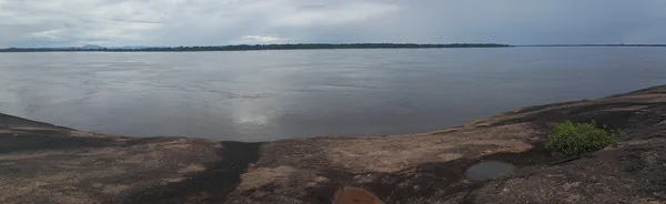
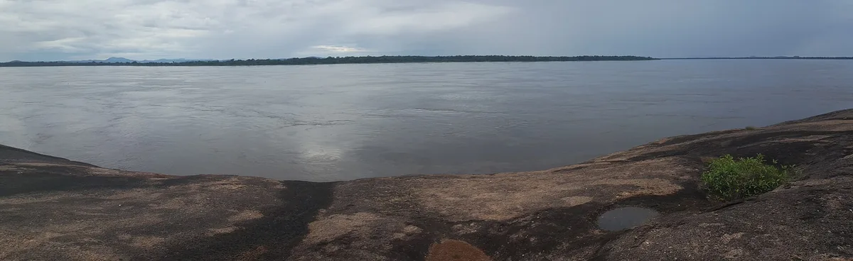
Panorama of the Orinoco River and its rocky bank
Señor rio Orinoco - panoramio.jpg · CarlosE Duarte · 2015
Original file open_in_new · CC BY 3.0 open_in_new
Versions resized and compressed. Some previews are cropped. The stated license still applies.
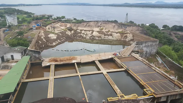
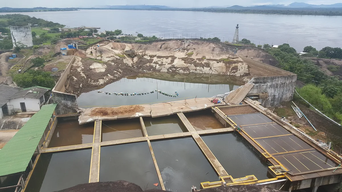
Water-treatment infrastructure and townscape in Puerto Carreño
Acueducto de Puerto Carreño - panoramio.jpg · CarlosE Duarte · 2015
Original file open_in_new · CC BY 3.0 open_in_new
Versions resized and compressed. Some previews are cropped. The stated license still applies.
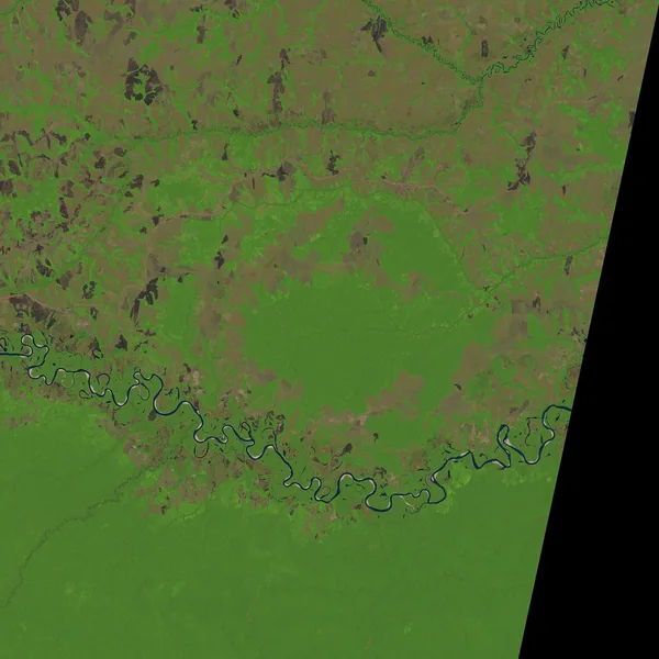
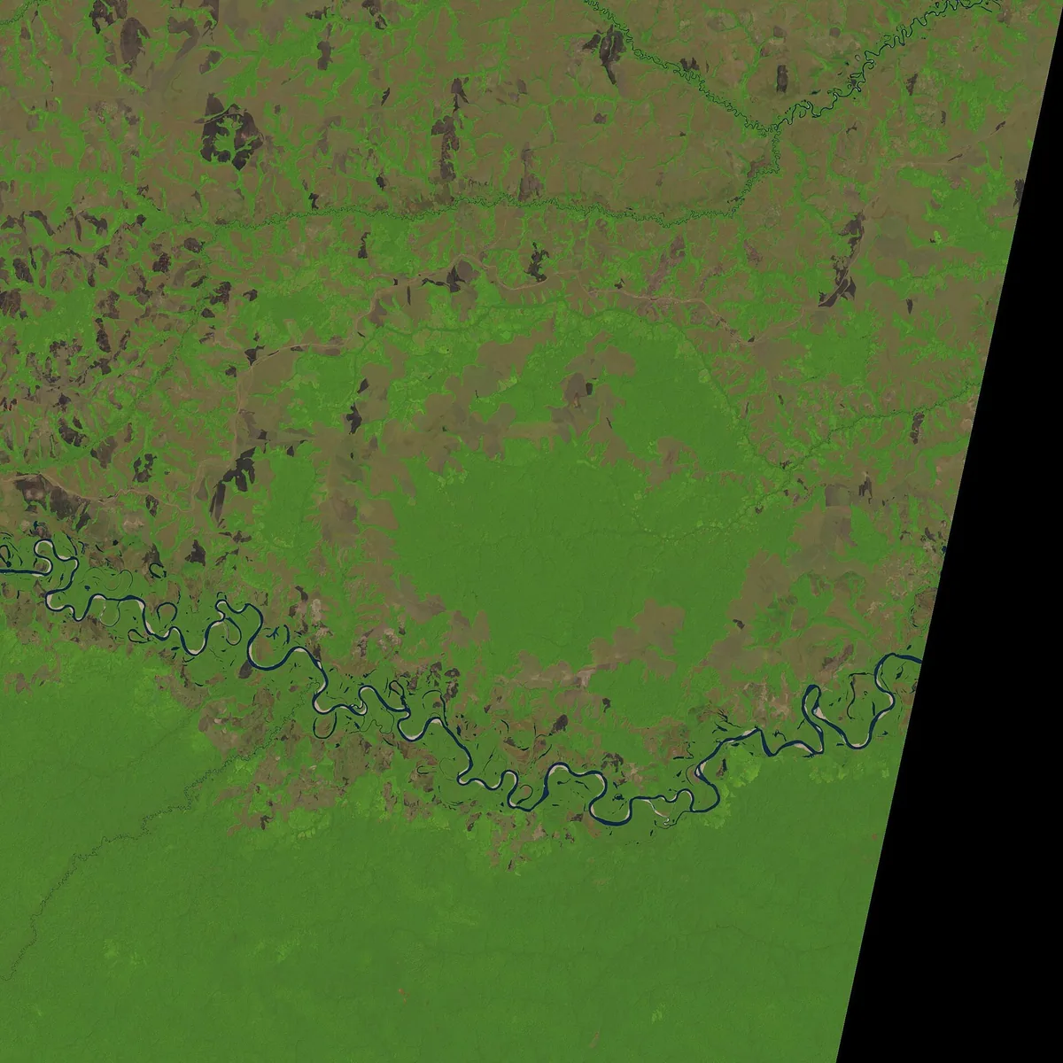
Landsat image of the Vichada Structure and its surroundings
Vichada Structure LC08 L1TP 005057 20160118 20170405 01 T1.jpg · James Stuby based on USGS/Landsat image · 2016
Original file open_in_new · Public domain open_in_new
Versions resized and compressed. Some previews are cropped. The stated license still applies.
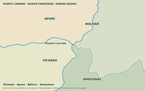
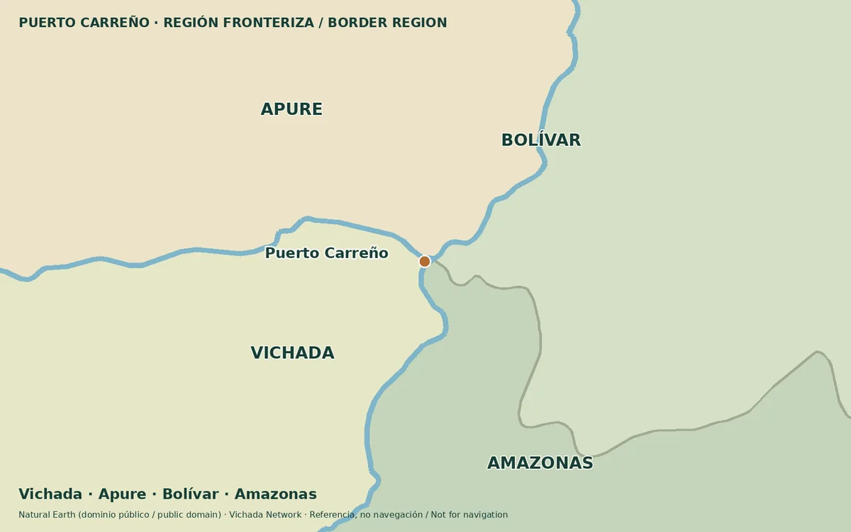
Map of Puerto Carreño and the neighboring Vichada, Apure, Bolívar and Amazonas region
Puerto Carreño four-region locator · Vichada Network; Natural Earth · 2026
Original file open_in_new · Public domain basemap; CC BY 4.0 layout open_in_new
Versions resized and compressed. Some previews are cropped. The stated license still applies.
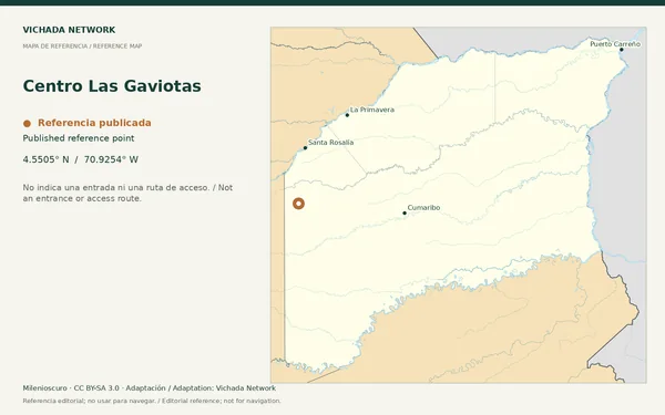
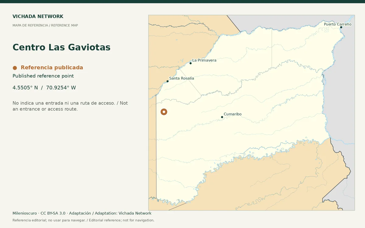
Reference map for Centro Las Gaviotas, with a published location point in Vichada
Centro Las Gaviotas — locator map · Milenioscuro; locator adaptation by Vichada Network · 2012 / 2026
Original file open_in_new · CC BY-SA 3.0 open_in_new
Versions resized and compressed. Some previews are cropped. The stated license still applies.
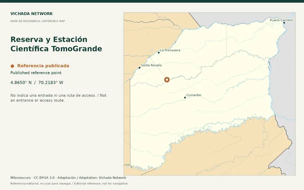
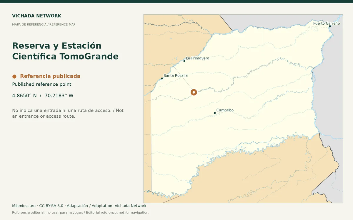
Reference map for Reserva y Estación Científica TomoGrande, with a published location point in Vichada
Reserva y Estación Científica TomoGrande — locator map · Milenioscuro; locator adaptation by Vichada Network · 2012 / 2026
Original file open_in_new · CC BY-SA 3.0 open_in_new
Versions resized and compressed. Some previews are cropped. The stated license still applies.
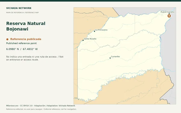
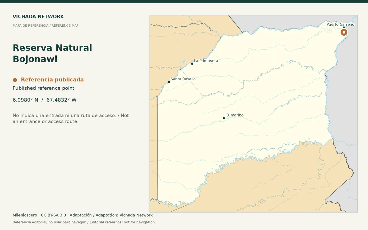
Reference map for Reserva Natural Bojonawi, with a published location point in Vichada
Reserva Natural Bojonawi — locator map · Milenioscuro; locator adaptation by Vichada Network · 2012 / 2026
Original file open_in_new · CC BY-SA 3.0 open_in_new
Versions resized and compressed. Some previews are cropped. The stated license still applies.
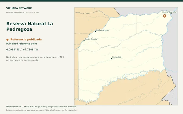
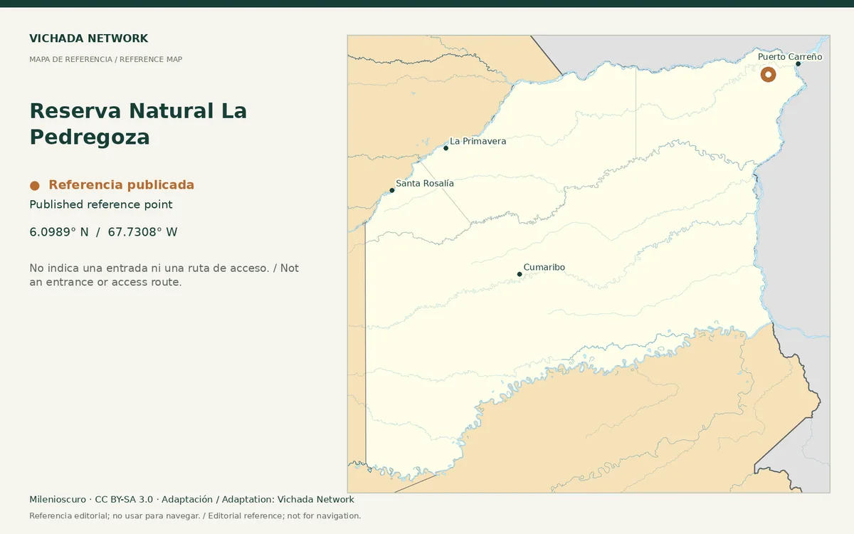
Reference map for Reserva Natural La Pedregoza, with a published location point in Vichada
Reserva Natural La Pedregoza — locator map · Milenioscuro; locator adaptation by Vichada Network · 2012 / 2026
Original file open_in_new · CC BY-SA 3.0 open_in_new
Versions resized and compressed. Some previews are cropped. The stated license still applies.
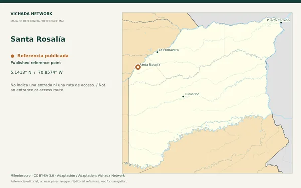
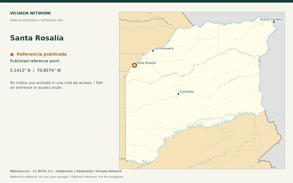
Reference map for Santa Rosalía, with a published location point in Vichada
Santa Rosalía — locator map · Milenioscuro; locator adaptation by Vichada Network · 2012 / 2026
Original file open_in_new · CC BY-SA 3.0 open_in_new
Versions resized and compressed. Some previews are cropped. The stated license still applies.
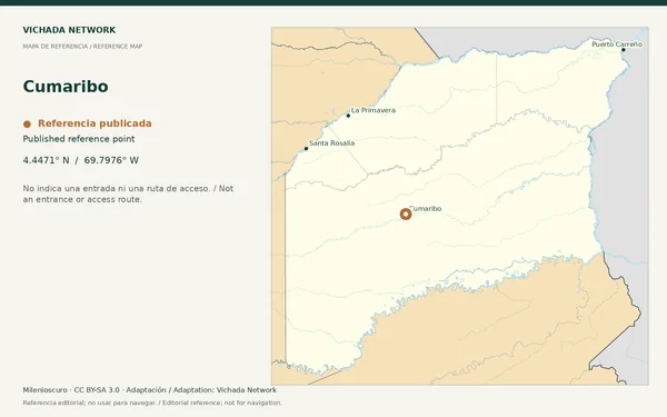
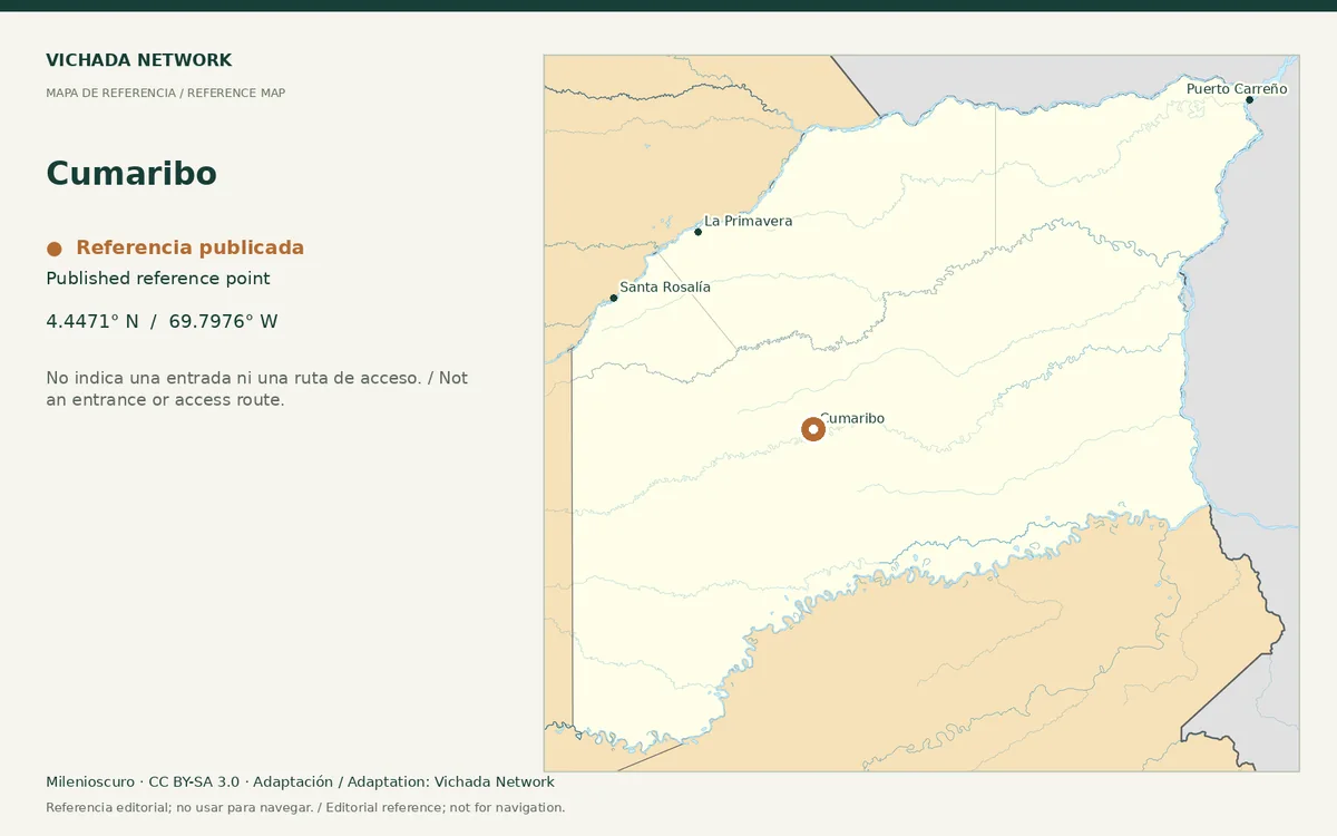
Reference map for Cumaribo, with a published location point in Vichada
Cumaribo — locator map · Milenioscuro; locator adaptation by Vichada Network · 2012 / 2026
Original file open_in_new · CC BY-SA 3.0 open_in_new
Versions resized and compressed. Some previews are cropped. The stated license still applies.
Regional reference map for Río Orinoco · Vichada; no exact location is marked
Río Orinoco · Vichada — locator map · Milenioscuro; locator adaptation by Vichada Network · 2012 / 2026
Original file open_in_new · CC BY-SA 3.0 open_in_new
Versions resized and compressed. Some previews are cropped. The stated license still applies.
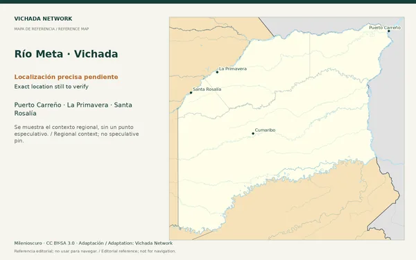
Regional reference map for Río Meta · Vichada; no exact location is marked
Río Meta · Vichada — locator map · Milenioscuro; locator adaptation by Vichada Network · 2012 / 2026
Original file open_in_new · CC BY-SA 3.0 open_in_new
Versions resized and compressed. Some previews are cropped. The stated license still applies.
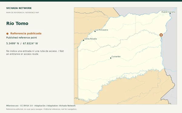
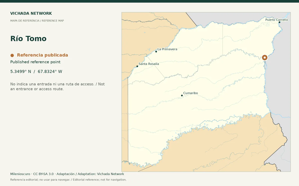
Reference map for Río Tomo, with a published location point in Vichada
Río Tomo — locator map · Milenioscuro; locator adaptation by Vichada Network · 2012 / 2026
Original file open_in_new · CC BY-SA 3.0 open_in_new
Versions resized and compressed. Some previews are cropped. The stated license still applies.
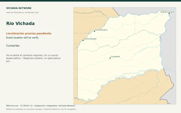
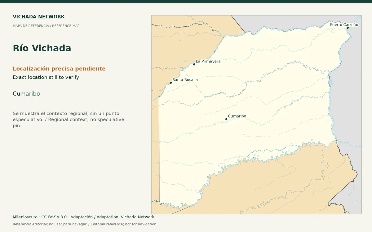
Regional reference map for Río Vichada; no exact location is marked
Río Vichada — locator map · Milenioscuro; locator adaptation by Vichada Network · 2012 / 2026
Original file open_in_new · CC BY-SA 3.0 open_in_new
Versions resized and compressed. Some previews are cropped. The stated license still applies.
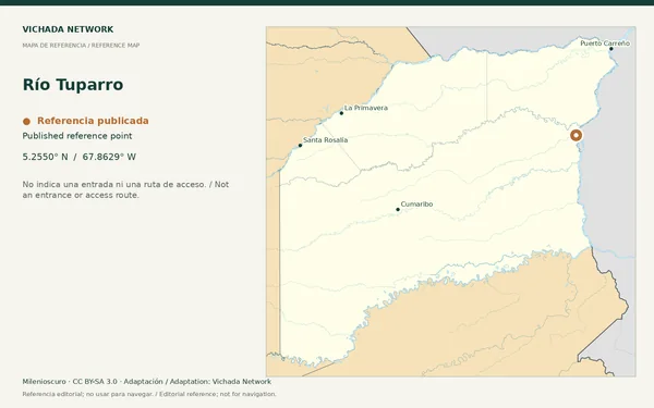
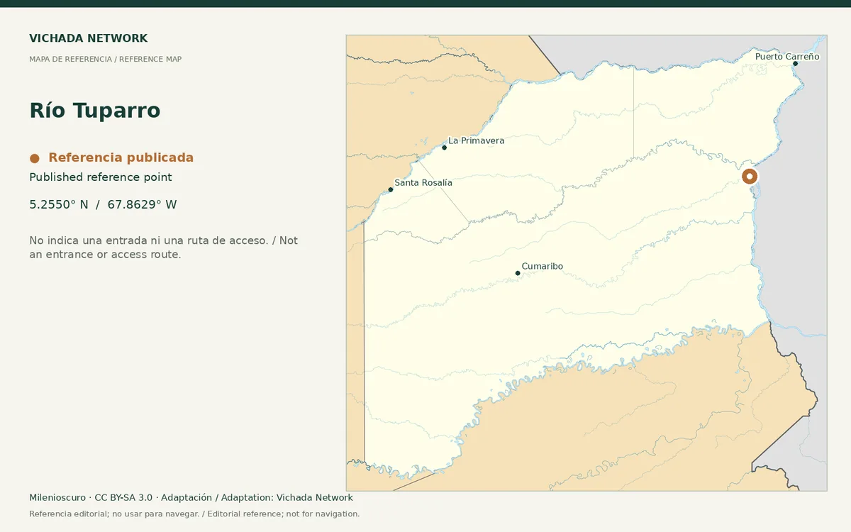
Reference map for Río Tuparro, with a published location point in Vichada
Río Tuparro — locator map · Milenioscuro; locator adaptation by Vichada Network · 2012 / 2026
Original file open_in_new · CC BY-SA 3.0 open_in_new
Versions resized and compressed. Some previews are cropped. The stated license still applies.
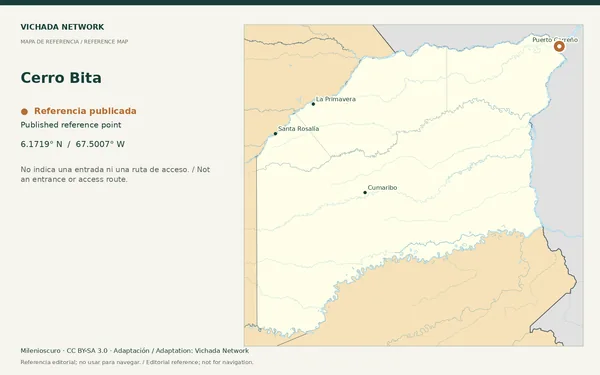
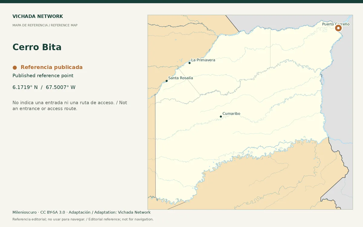
Reference map for Cerro Bita, with a published location point in Vichada
Cerro Bita — locator map · Milenioscuro; locator adaptation by Vichada Network · 2012 / 2026
Original file open_in_new · CC BY-SA 3.0 open_in_new
Versions resized and compressed. Some previews are cropped. The stated license still applies.
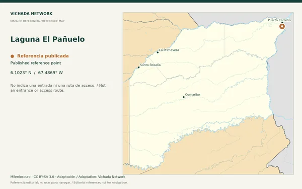
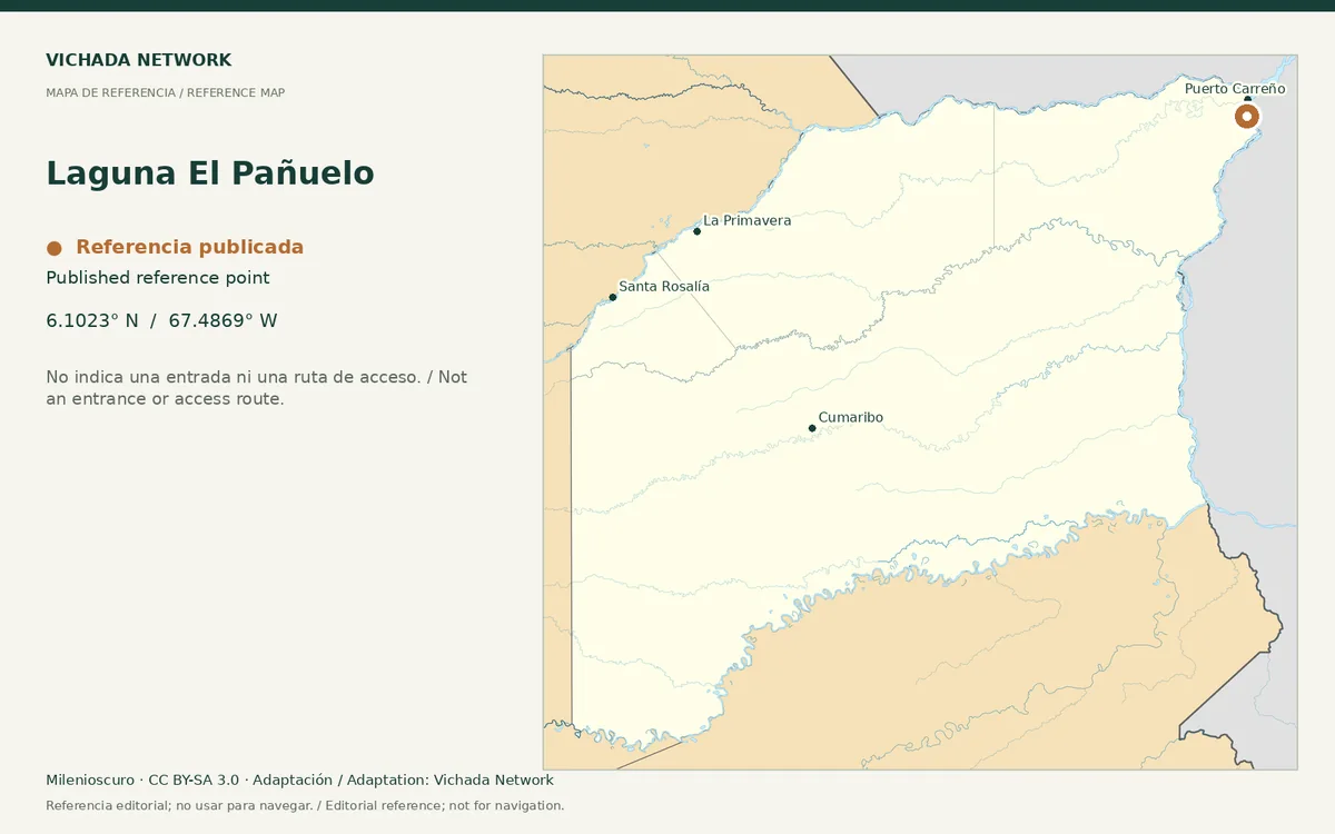
Reference map for Laguna El Pañuelo, with a published location point in Vichada
Laguna El Pañuelo — locator map · Milenioscuro; locator adaptation by Vichada Network · 2012 / 2026
Original file open_in_new · CC BY-SA 3.0 open_in_new
Versions resized and compressed. Some previews are cropped. The stated license still applies.
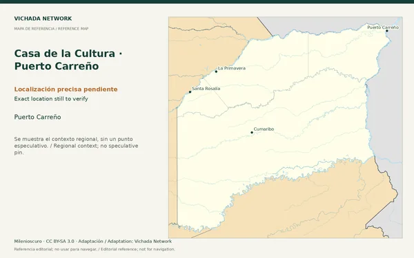
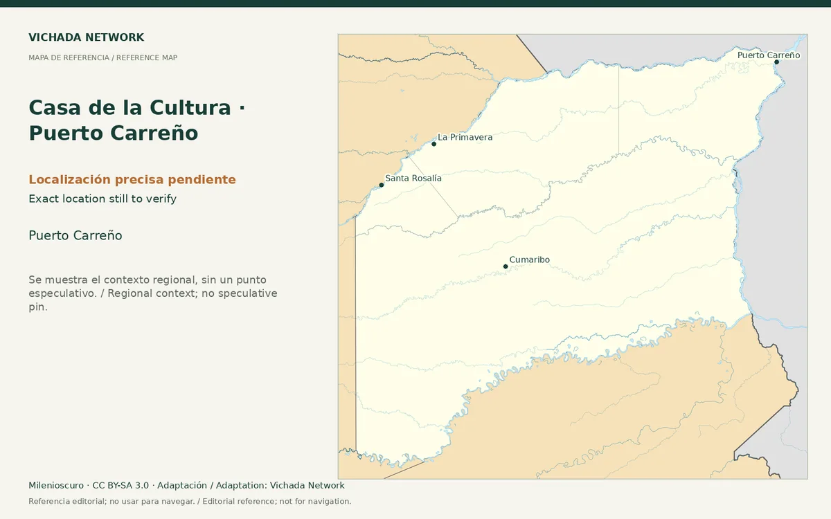
Regional reference map for Casa de la Cultura · Puerto Carreño; no exact location is marked
Casa de la Cultura · Puerto Carreño — locator map · Milenioscuro; locator adaptation by Vichada Network · 2012 / 2026
Original file open_in_new · CC BY-SA 3.0 open_in_new
Versions resized and compressed. Some previews are cropped. The stated license still applies.
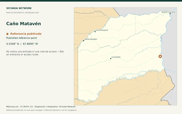
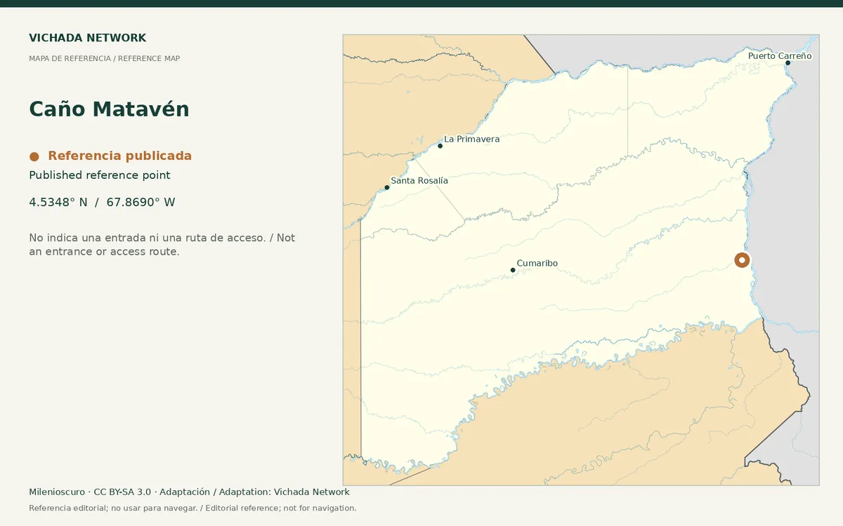
Reference map for Caño Matavén, with a published location point in Vichada
Caño Matavén — locator map · Milenioscuro; locator adaptation by Vichada Network · 2012 / 2026
Original file open_in_new · CC BY-SA 3.0 open_in_new
Versions resized and compressed. Some previews are cropped. The stated license still applies.
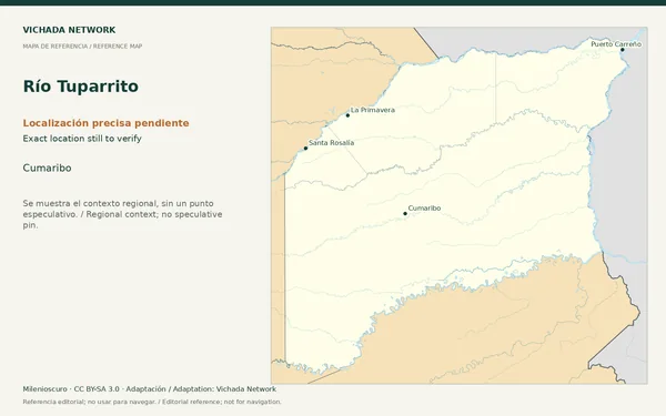
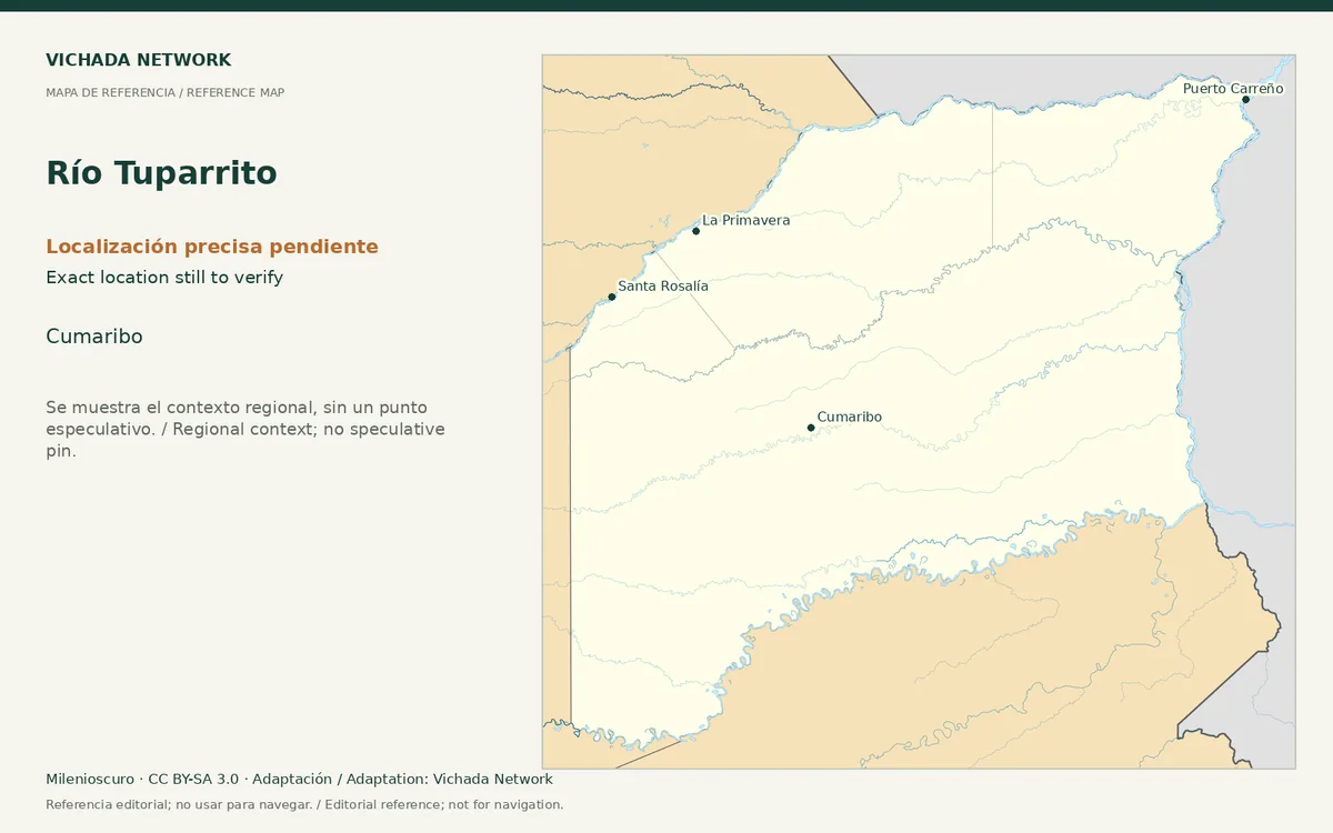
Regional reference map for Río Tuparrito; no exact location is marked
Río Tuparrito — locator map · Milenioscuro; locator adaptation by Vichada Network · 2012 / 2026
Original file open_in_new · CC BY-SA 3.0 open_in_new
Versions resized and compressed. Some previews are cropped. The stated license still applies.
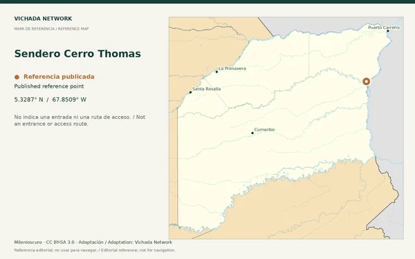
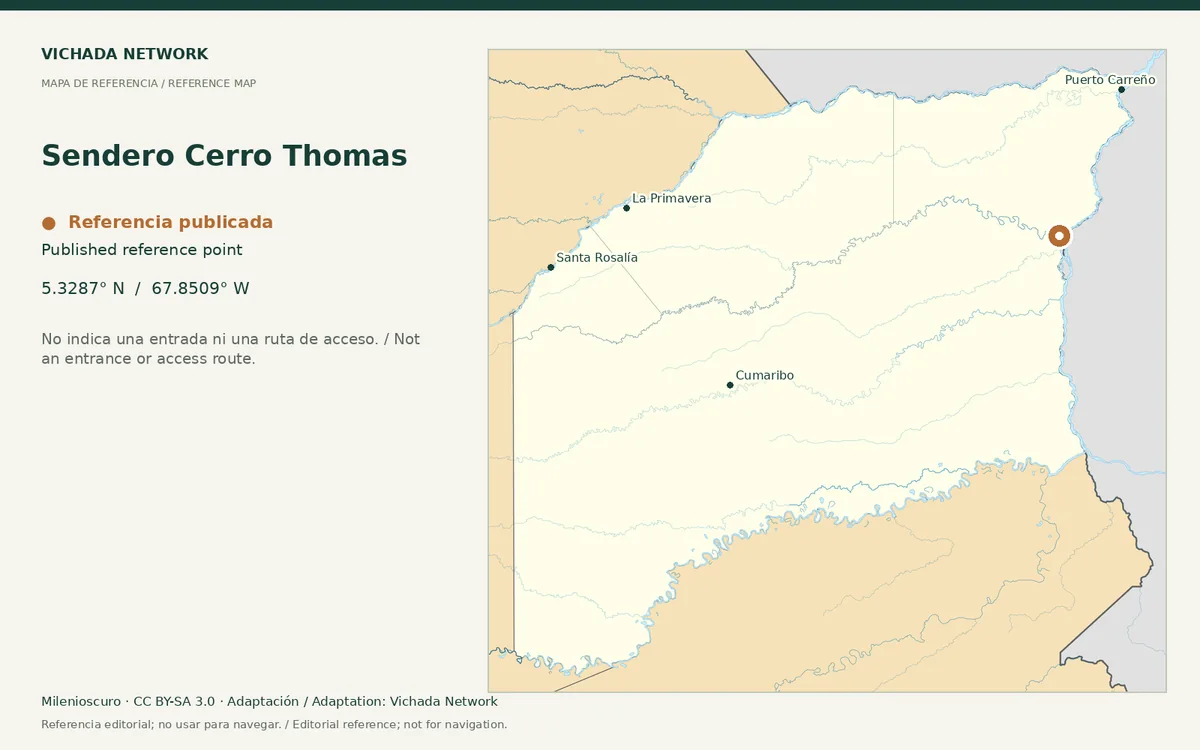
Reference map for Sendero Cerro Thomas, with a published location point in Vichada
Sendero Cerro Thomas — locator map · Milenioscuro; locator adaptation by Vichada Network · 2012 / 2026
Original file open_in_new · CC BY-SA 3.0 open_in_new
Versions resized and compressed. Some previews are cropped. The stated license still applies.
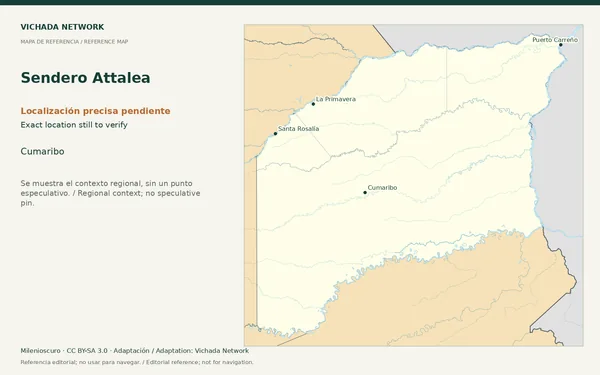
Regional reference map for Sendero Attalea; no exact location is marked
Sendero Attalea — locator map · Milenioscuro; locator adaptation by Vichada Network · 2012 / 2026
Original file open_in_new · CC BY-SA 3.0 open_in_new
Versions resized and compressed. Some previews are cropped. The stated license still applies.
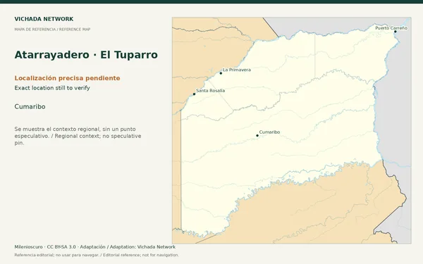
Regional reference map for Atarrayadero · El Tuparro; no exact location is marked
Atarrayadero · El Tuparro — locator map · Milenioscuro; locator adaptation by Vichada Network · 2012 / 2026
Original file open_in_new · CC BY-SA 3.0 open_in_new
Versions resized and compressed. Some previews are cropped. The stated license still applies.
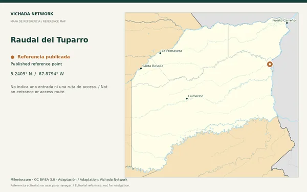
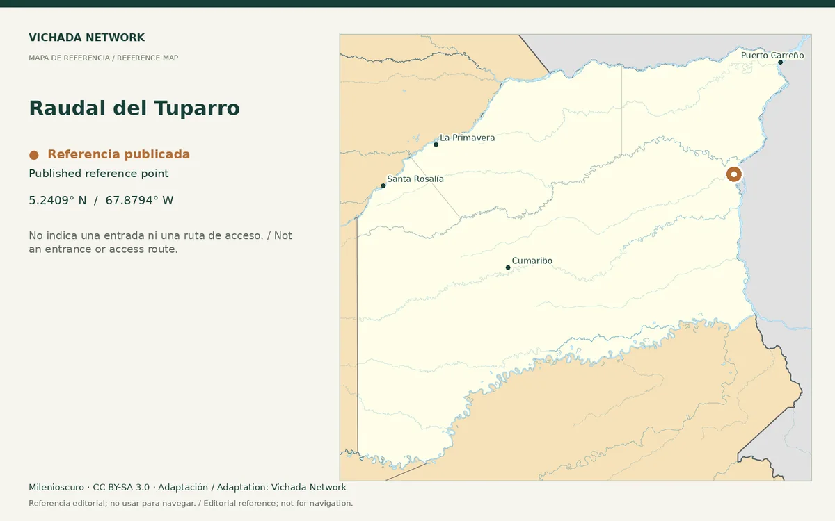
Reference map for Raudal del Tuparro, with a published location point in Vichada
Raudal del Tuparro — locator map · Milenioscuro; locator adaptation by Vichada Network · 2012 / 2026
Original file open_in_new · CC BY-SA 3.0 open_in_new
Versions resized and compressed. Some previews are cropped. The stated license still applies.
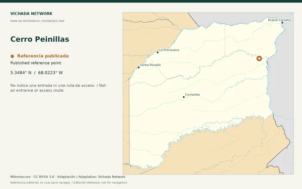
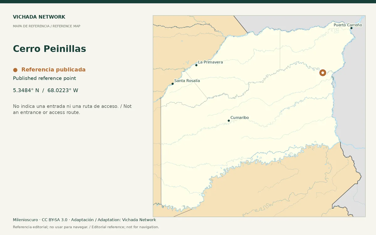
Reference map for Cerro Peinillas, with a published location point in Vichada
Cerro Peinillas — locator map · Milenioscuro; locator adaptation by Vichada Network · 2012 / 2026
Original file open_in_new · CC BY-SA 3.0 open_in_new
Versions resized and compressed. Some previews are cropped. The stated license still applies.
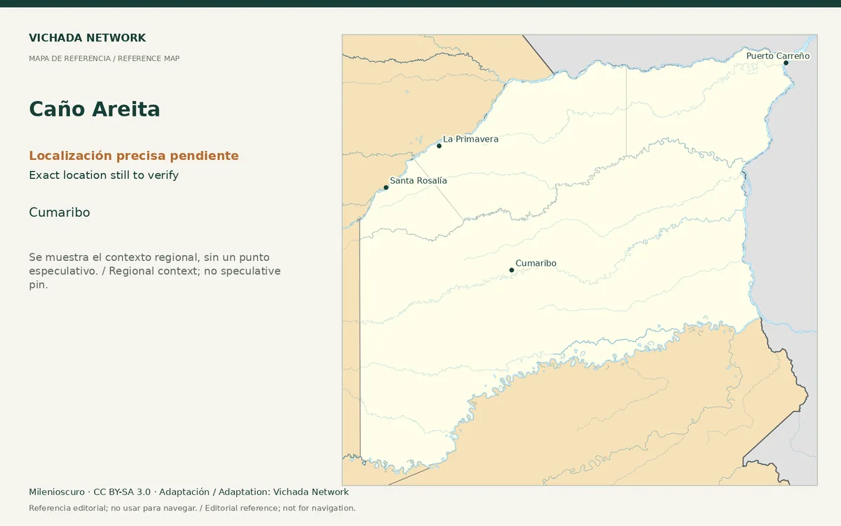
Regional reference map for Caño Areita; no exact location is marked
Caño Areita — locator map · Milenioscuro; locator adaptation by Vichada Network · 2012 / 2026
Original file open_in_new · CC BY-SA 3.0 open_in_new
Versions resized and compressed. Some previews are cropped. The stated license still applies.
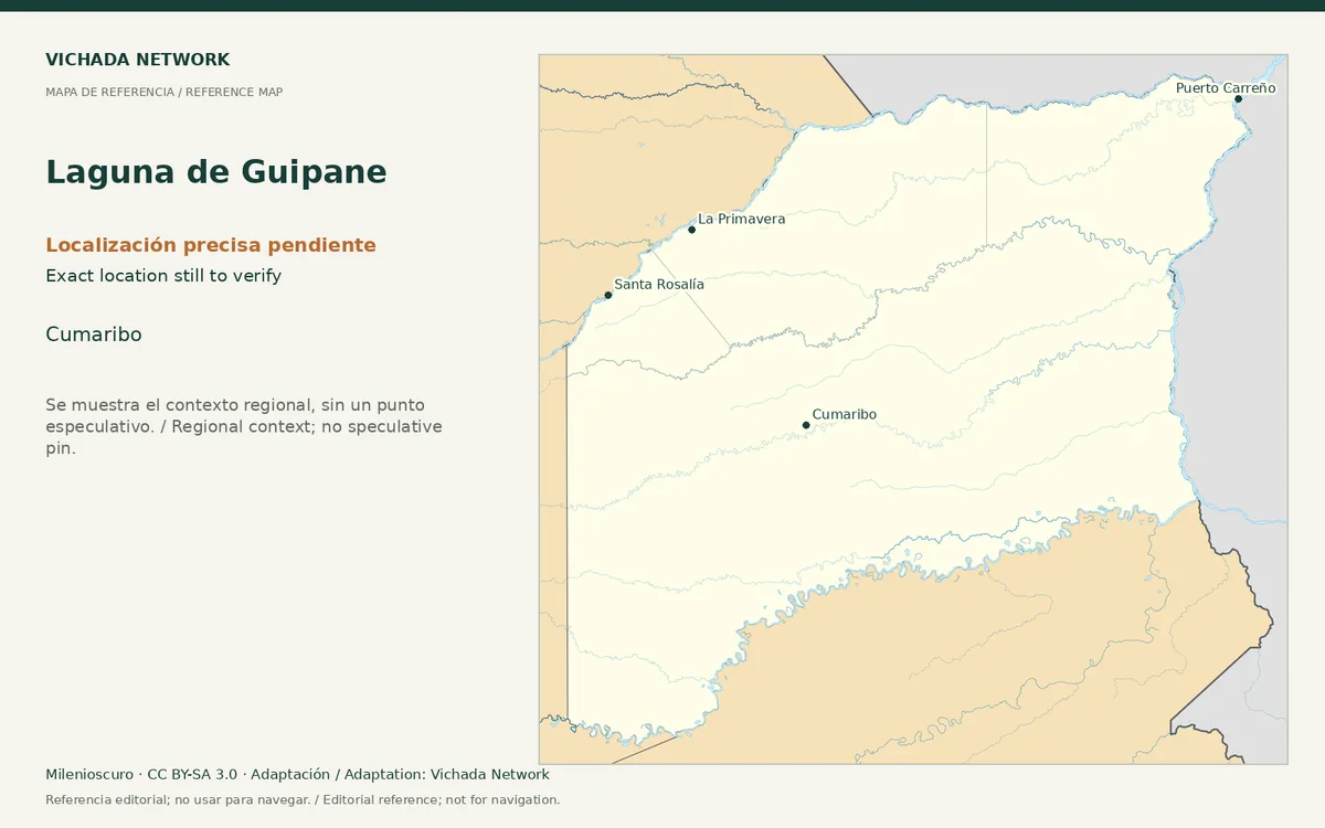
Regional reference map for Laguna de Guipane; no exact location is marked
Laguna de Guipane — locator map · Milenioscuro; locator adaptation by Vichada Network · 2012 / 2026
Original file open_in_new · CC BY-SA 3.0 open_in_new
Versions resized and compressed. Some previews are cropped. The stated license still applies.
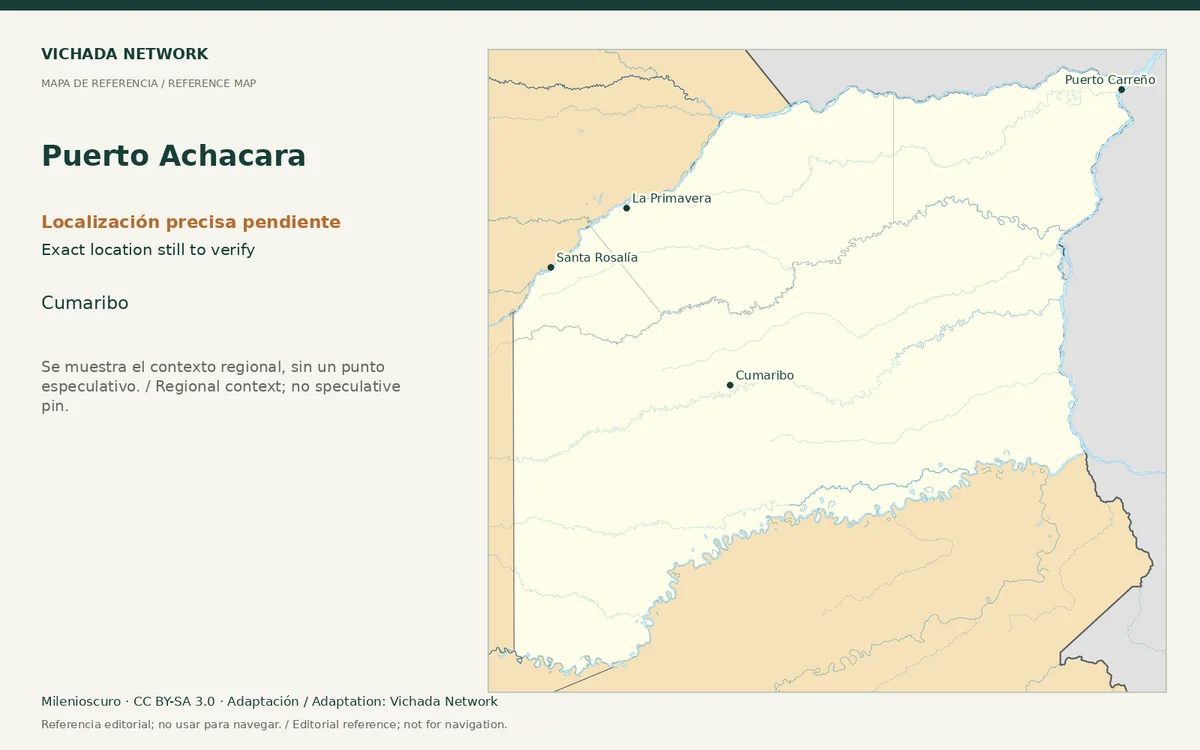
Regional reference map for Puerto Achacara; no exact location is marked
Puerto Achacara — locator map · Milenioscuro; locator adaptation by Vichada Network · 2012 / 2026
Original file open_in_new · CC BY-SA 3.0 open_in_new
Versions resized and compressed. Some previews are cropped. The stated license still applies.
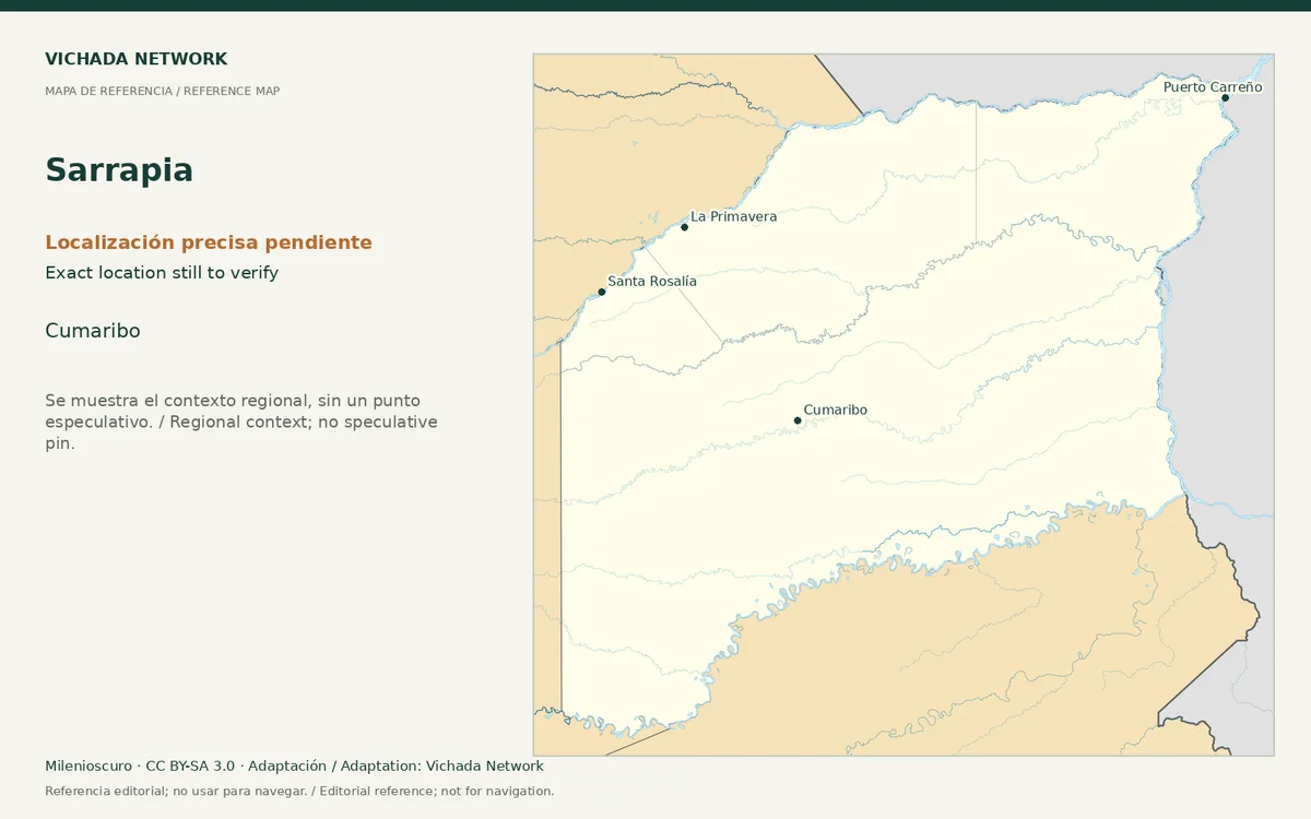
Regional reference map for Sarrapia; no exact location is marked
Sarrapia — locator map · Milenioscuro; locator adaptation by Vichada Network · 2012 / 2026
Original file open_in_new · CC BY-SA 3.0 open_in_new
Versions resized and compressed. Some previews are cropped. The stated license still applies.
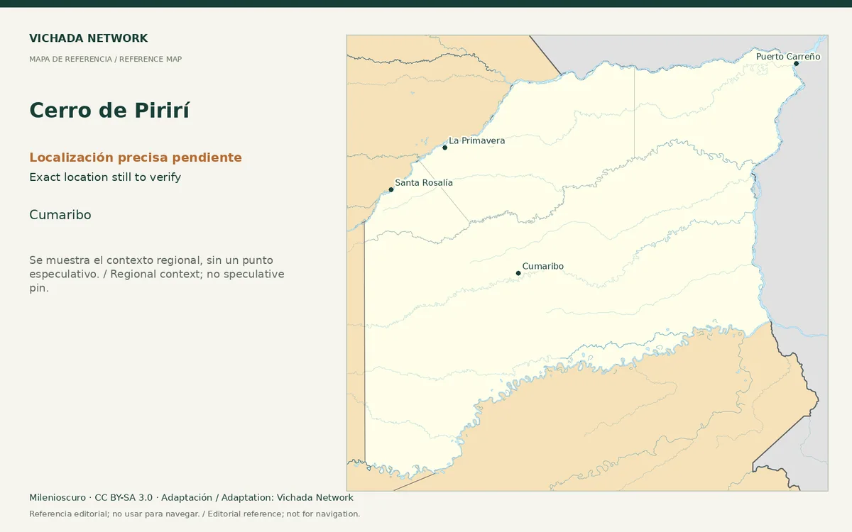
Regional reference map for Cerro de Pirirí; no exact location is marked
Cerro de Pirirí — locator map · Milenioscuro; locator adaptation by Vichada Network · 2012 / 2026
Original file open_in_new · CC BY-SA 3.0 open_in_new
Versions resized and compressed. Some previews are cropped. The stated license still applies.
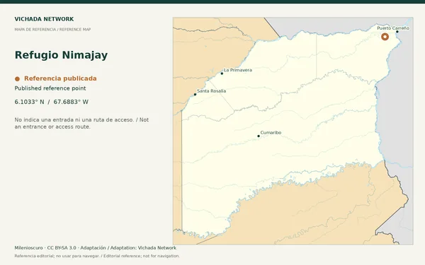
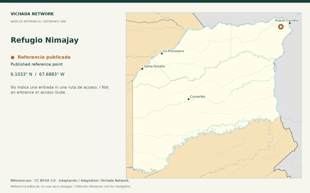
Reference map for Refugio Nimajay, with a published location point in Vichada
Refugio Nimajay — locator map · Milenioscuro; locator adaptation by Vichada Network · 2012 / 2026
Original file open_in_new · CC BY-SA 3.0 open_in_new
Versions resized and compressed. Some previews are cropped. The stated license still applies.
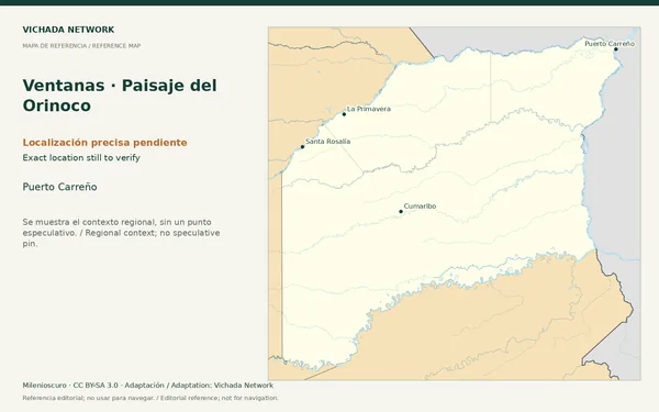
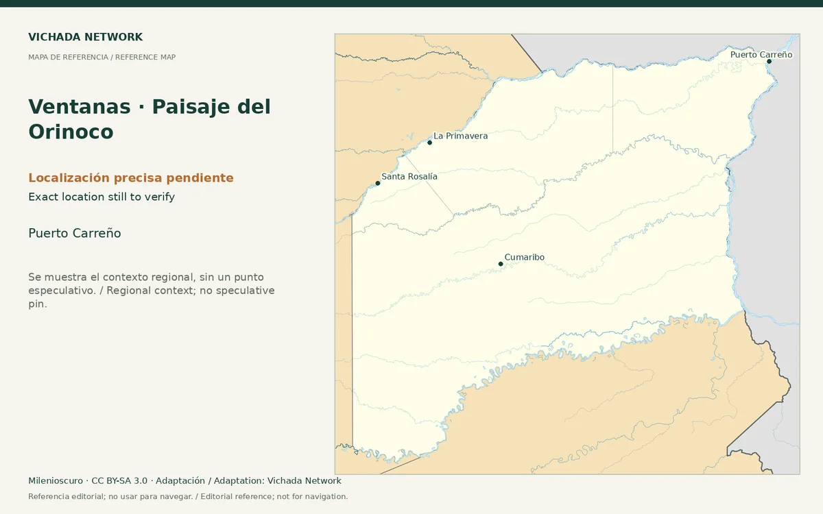
Regional reference map for Ventanas · Paisaje del Orinoco; no exact location is marked
Ventanas · Paisaje del Orinoco — locator map · Milenioscuro; locator adaptation by Vichada Network · 2012 / 2026
Original file open_in_new · CC BY-SA 3.0 open_in_new
Versions resized and compressed. Some previews are cropped. The stated license still applies.
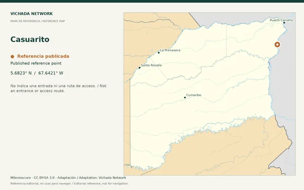
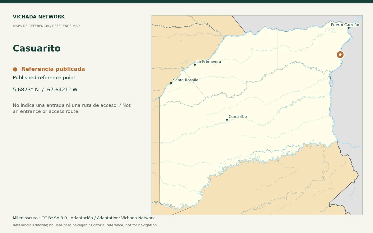
Reference map for Casuarito, with a published location point in Vichada
Casuarito — locator map · Milenioscuro; locator adaptation by Vichada Network · 2012 / 2026
Original file open_in_new · CC BY-SA 3.0 open_in_new
Versions resized and compressed. Some previews are cropped. The stated license still applies.
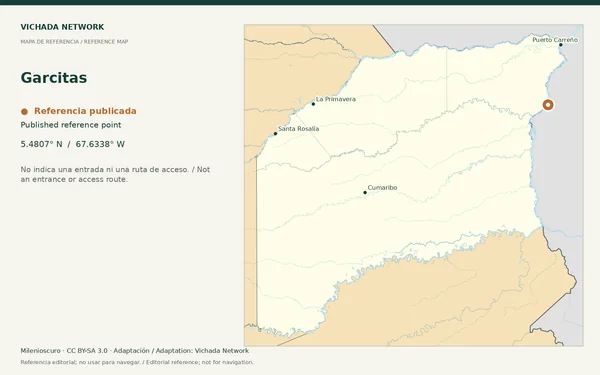
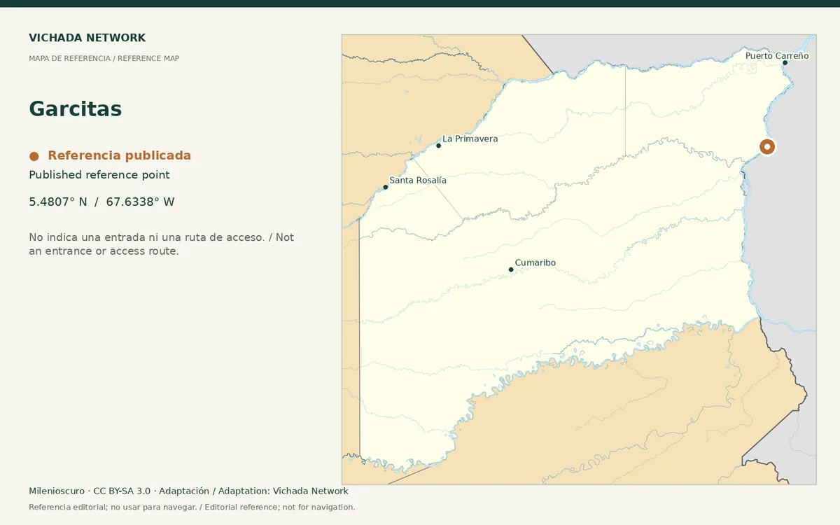
Reference map for Garcitas, with a published location point in Vichada
Garcitas — locator map · Milenioscuro; locator adaptation by Vichada Network · 2012 / 2026
Original file open_in_new · CC BY-SA 3.0 open_in_new
Versions resized and compressed. Some previews are cropped. The stated license still applies.
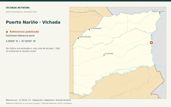
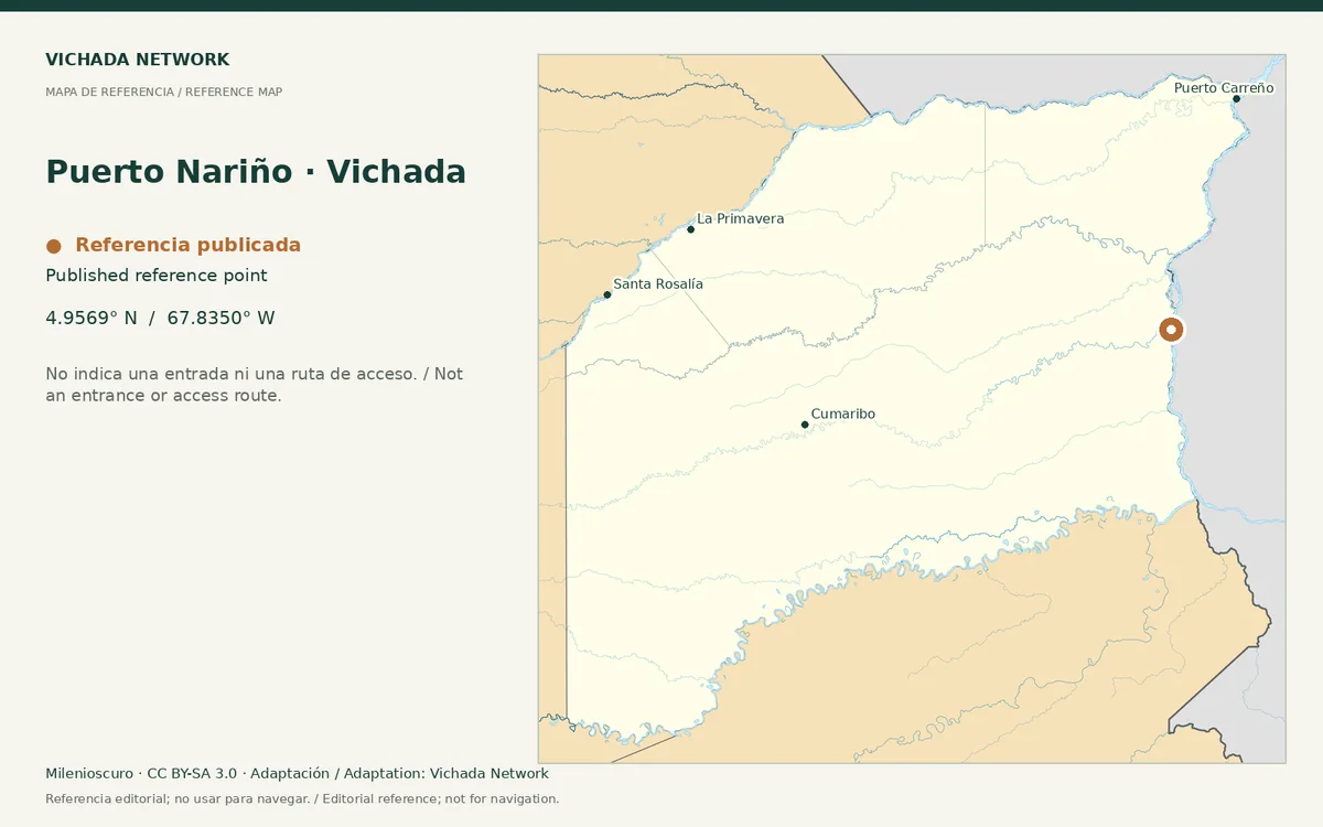
Reference map for Puerto Nariño · Vichada, with a published location point in Vichada
Puerto Nariño · Vichada — locator map · Milenioscuro; locator adaptation by Vichada Network · 2012 / 2026
Original file open_in_new · CC BY-SA 3.0 open_in_new
Versions resized and compressed. Some previews are cropped. The stated license still applies.
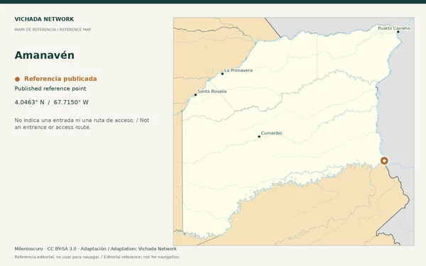
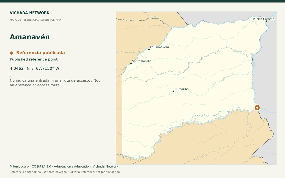
Reference map for Amanavén, with a published location point in Vichada
Amanavén — locator map · Milenioscuro; locator adaptation by Vichada Network · 2012 / 2026
Original file open_in_new · CC BY-SA 3.0 open_in_new
Versions resized and compressed. Some previews are cropped. The stated license still applies.
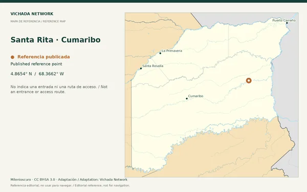
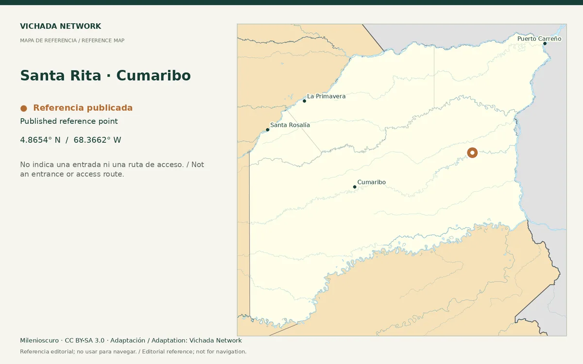
Reference map for Santa Rita · Cumaribo, with a published location point in Vichada
Santa Rita · Cumaribo — locator map · Milenioscuro; locator adaptation by Vichada Network · 2012 / 2026
Original file open_in_new · CC BY-SA 3.0 open_in_new
Versions resized and compressed. Some previews are cropped. The stated license still applies.
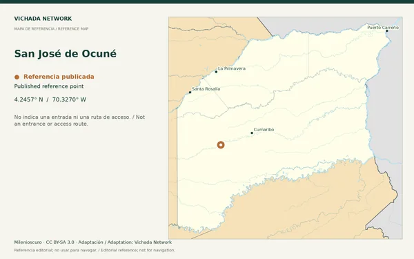
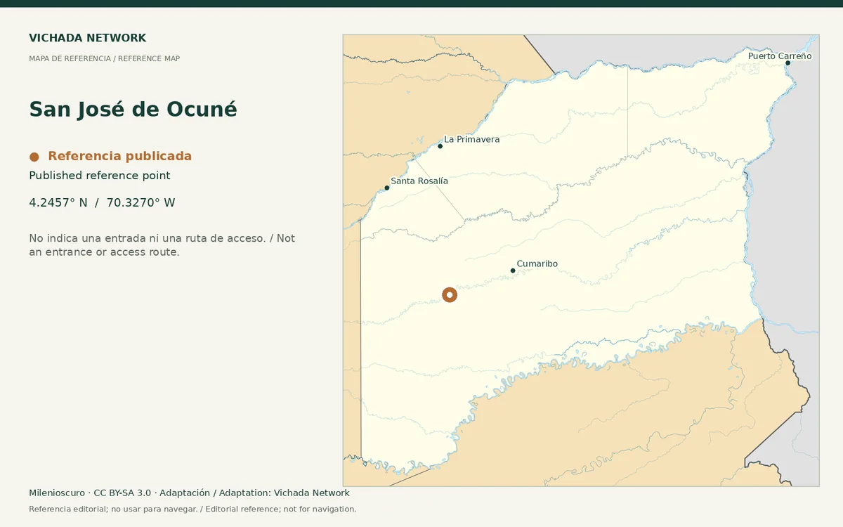
Reference map for San José de Ocuné, with a published location point in Vichada
San José de Ocuné — locator map · Milenioscuro; locator adaptation by Vichada Network · 2012 / 2026
Original file open_in_new · CC BY-SA 3.0 open_in_new
Versions resized and compressed. Some previews are cropped. The stated license still applies.
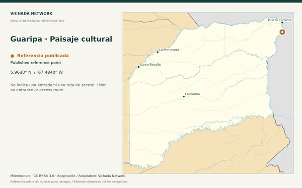
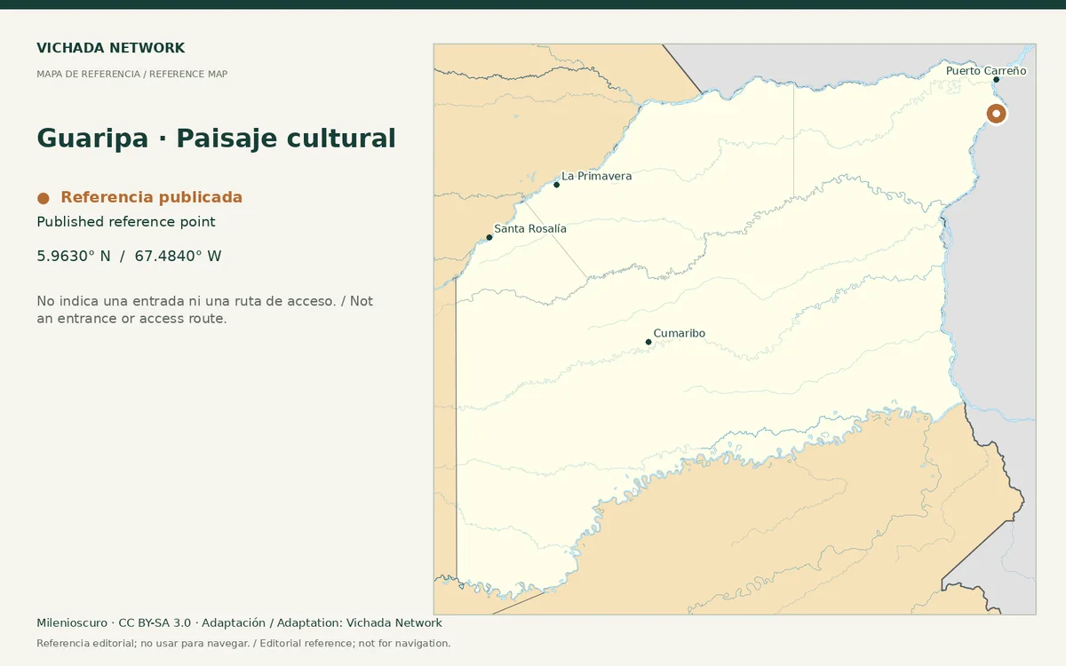
Reference map for Guaripa · Paisaje cultural, with a published location point in Vichada
Guaripa · Paisaje cultural — locator map · Milenioscuro; locator adaptation by Vichada Network · 2012 / 2026
Original file open_in_new · CC BY-SA 3.0 open_in_new
Versions resized and compressed. Some previews are cropped. The stated license still applies.
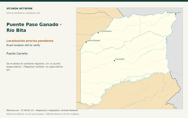
Regional reference map for Puente Paso Ganado · Río Bita; no exact location is marked
Puente Paso Ganado · Río Bita — locator map · Milenioscuro; locator adaptation by Vichada Network · 2012 / 2026
Original file open_in_new · CC BY-SA 3.0 open_in_new
Versions resized and compressed. Some previews are cropped. The stated license still applies.
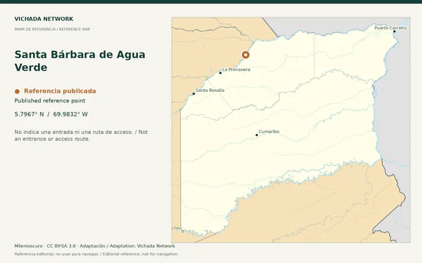
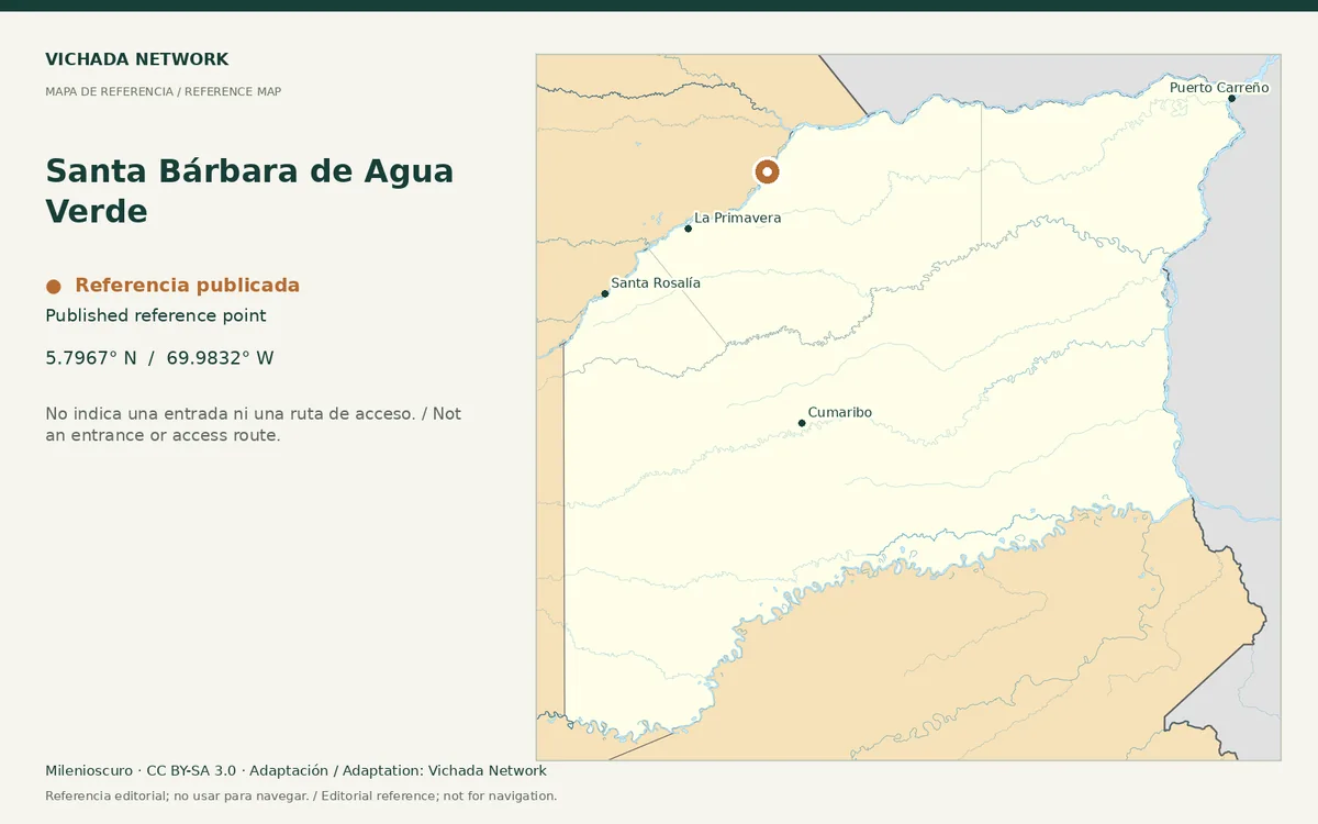
Reference map for Santa Bárbara de Agua Verde, with a published location point in Vichada
Santa Bárbara de Agua Verde — locator map · Milenioscuro; locator adaptation by Vichada Network · 2012 / 2026
Original file open_in_new · CC BY-SA 3.0 open_in_new
Versions resized and compressed. Some previews are cropped. The stated license still applies.
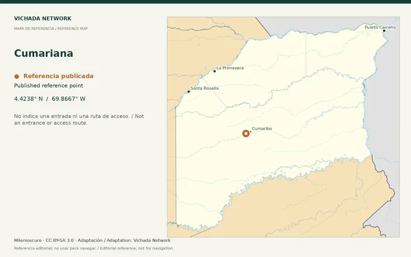
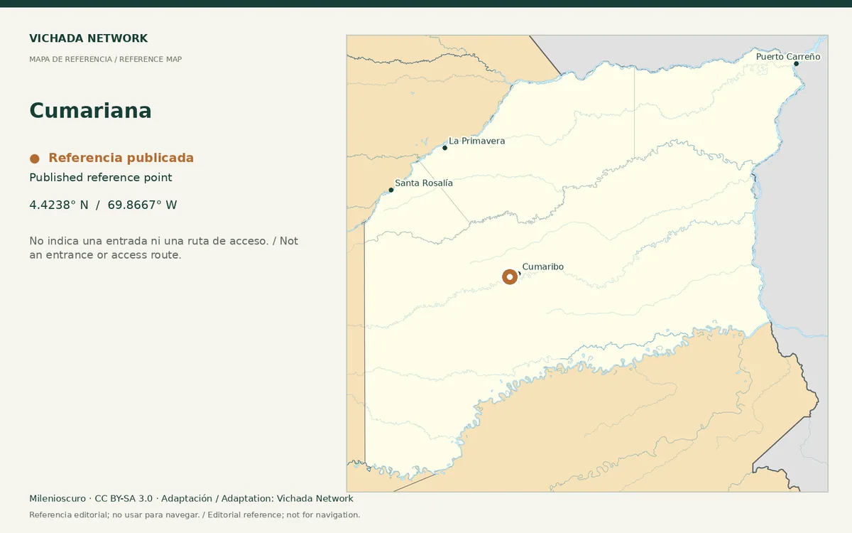
Reference map for Cumariana, with a published location point in Vichada
Cumariana — locator map · Milenioscuro; locator adaptation by Vichada Network · 2012 / 2026
Original file open_in_new · CC BY-SA 3.0 open_in_new
Versions resized and compressed. Some previews are cropped. The stated license still applies.
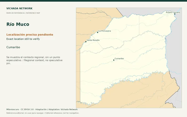
Regional reference map for Río Muco; no exact location is marked
Río Muco — locator map · Milenioscuro; locator adaptation by Vichada Network · 2012 / 2026
Original file open_in_new · CC BY-SA 3.0 open_in_new
Versions resized and compressed. Some previews are cropped. The stated license still applies.
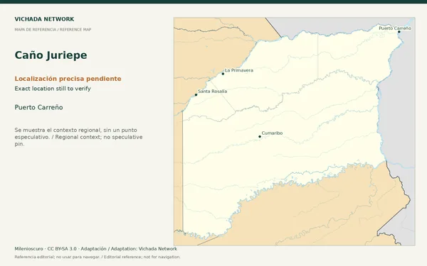
Regional reference map for Caño Juriepe; no exact location is marked
Caño Juriepe — locator map · Milenioscuro; locator adaptation by Vichada Network · 2012 / 2026
Original file open_in_new · CC BY-SA 3.0 open_in_new
Versions resized and compressed. Some previews are cropped. The stated license still applies.
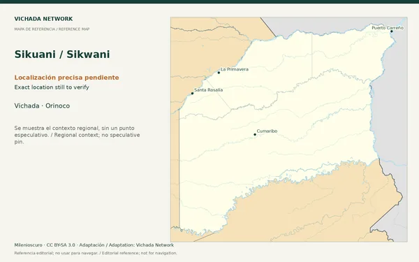
Regional reference map for Sikuani / Sikwani; no exact location is marked
Sikuani / Sikwani — locator map · Milenioscuro; locator adaptation by Vichada Network · 2012 / 2026
Original file open_in_new · CC BY-SA 3.0 open_in_new
Versions resized and compressed. Some previews are cropped. The stated license still applies.
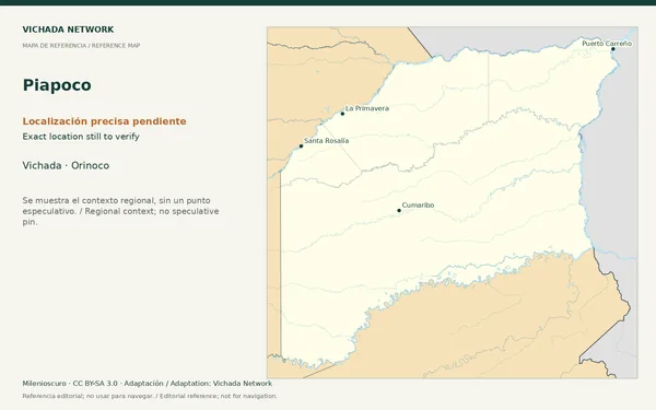
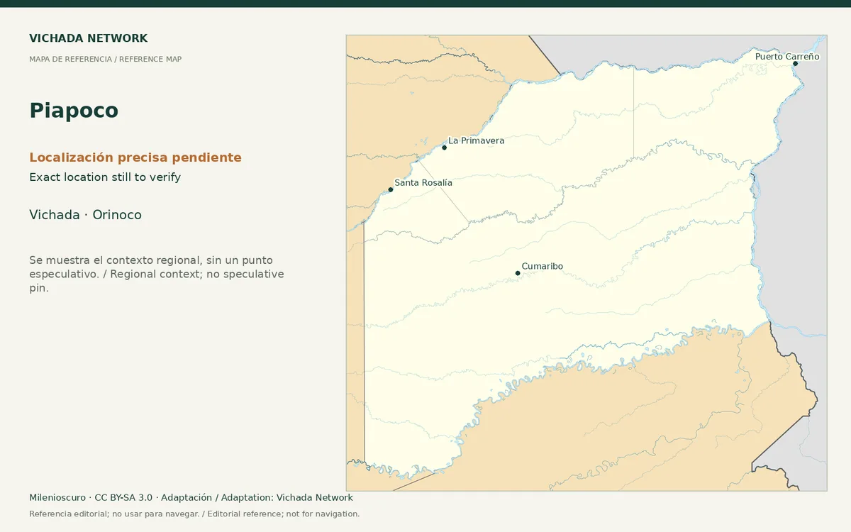
Regional reference map for Piapoco; no exact location is marked
Piapoco — locator map · Milenioscuro; locator adaptation by Vichada Network · 2012 / 2026
Original file open_in_new · CC BY-SA 3.0 open_in_new
Versions resized and compressed. Some previews are cropped. The stated license still applies.
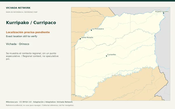
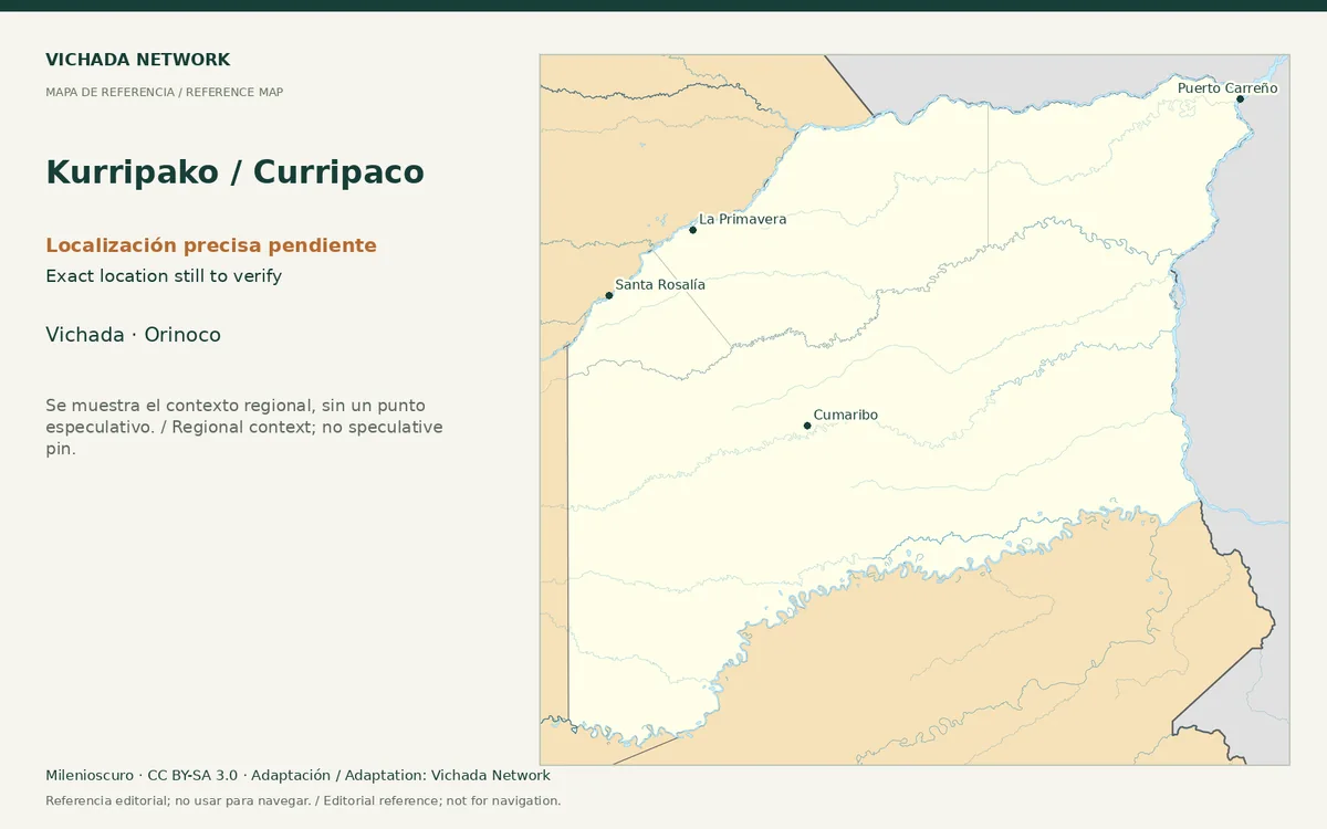
Regional reference map for Kurripako / Curripaco; no exact location is marked
Kurripako / Curripaco — locator map · Milenioscuro; locator adaptation by Vichada Network · 2012 / 2026
Original file open_in_new · CC BY-SA 3.0 open_in_new
Versions resized and compressed. Some previews are cropped. The stated license still applies.
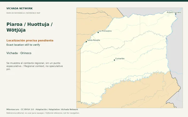
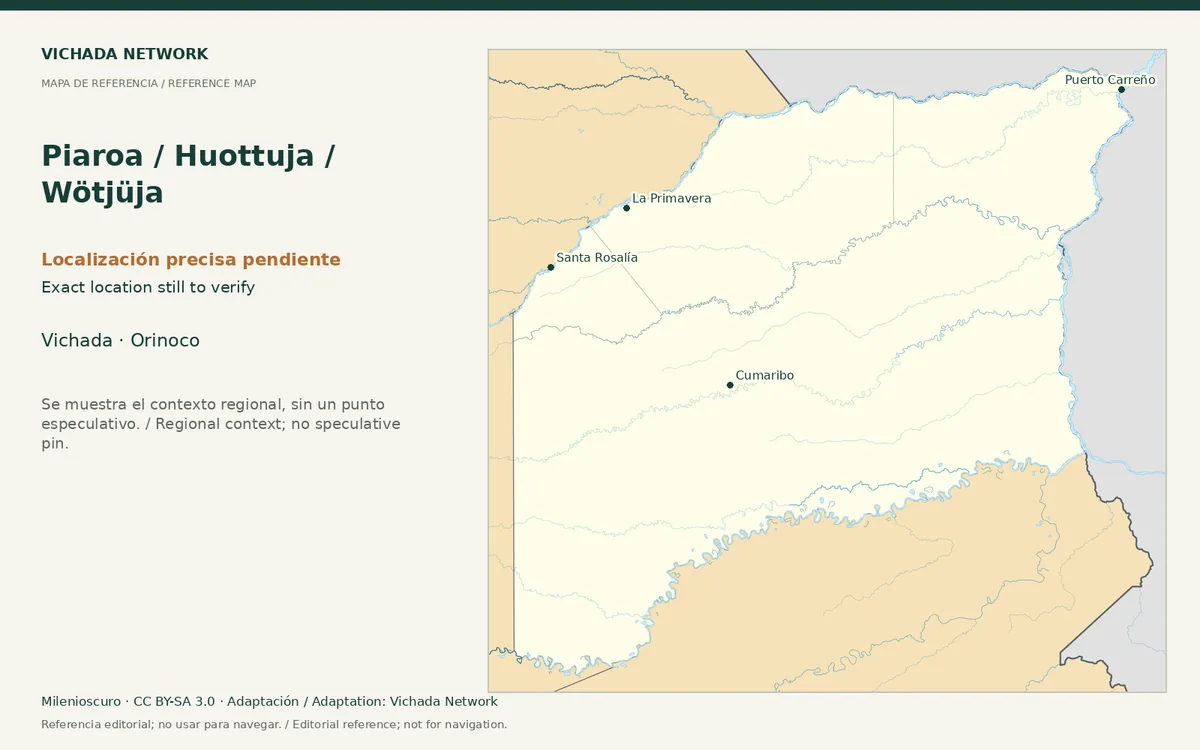
Regional reference map for Piaroa / Huottuja / Wötjüja; no exact location is marked
Piaroa / Huottuja / Wötjüja — locator map · Milenioscuro; locator adaptation by Vichada Network · 2012 / 2026
Original file open_in_new · CC BY-SA 3.0 open_in_new
Versions resized and compressed. Some previews are cropped. The stated license still applies.
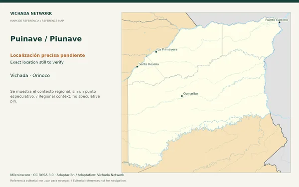
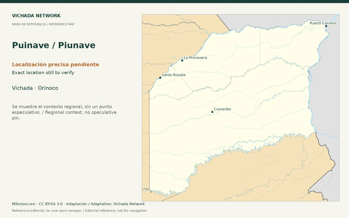
Regional reference map for Puinave / Piunave; no exact location is marked
Puinave / Piunave — locator map · Milenioscuro; locator adaptation by Vichada Network · 2012 / 2026
Original file open_in_new · CC BY-SA 3.0 open_in_new
Versions resized and compressed. Some previews are cropped. The stated license still applies.
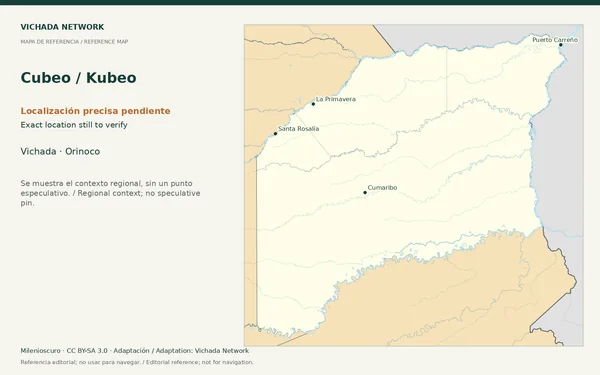
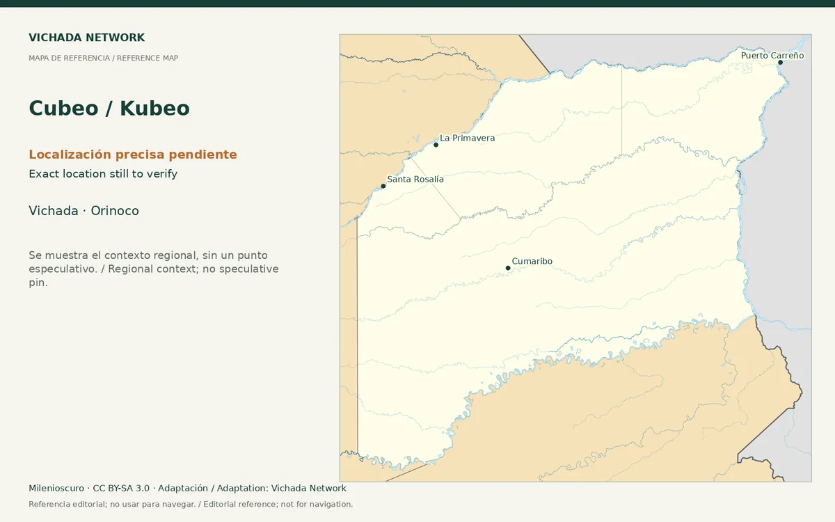
Regional reference map for Cubeo / Kubeo; no exact location is marked
Cubeo / Kubeo — locator map · Milenioscuro; locator adaptation by Vichada Network · 2012 / 2026
Original file open_in_new · CC BY-SA 3.0 open_in_new
Versions resized and compressed. Some previews are cropped. The stated license still applies.
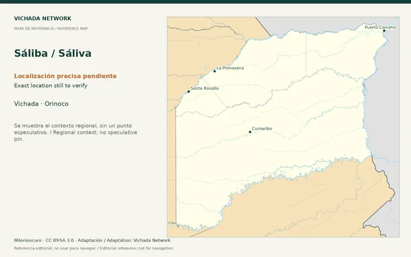
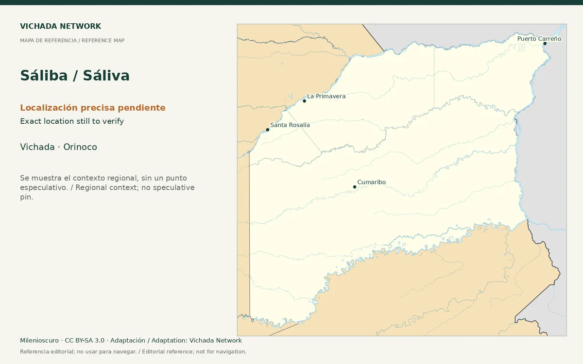
Regional reference map for Sáliba / Sáliva; no exact location is marked
Sáliba / Sáliva — locator map · Milenioscuro; locator adaptation by Vichada Network · 2012 / 2026
Original file open_in_new · CC BY-SA 3.0 open_in_new
Versions resized and compressed. Some previews are cropped. The stated license still applies.
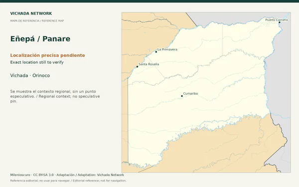
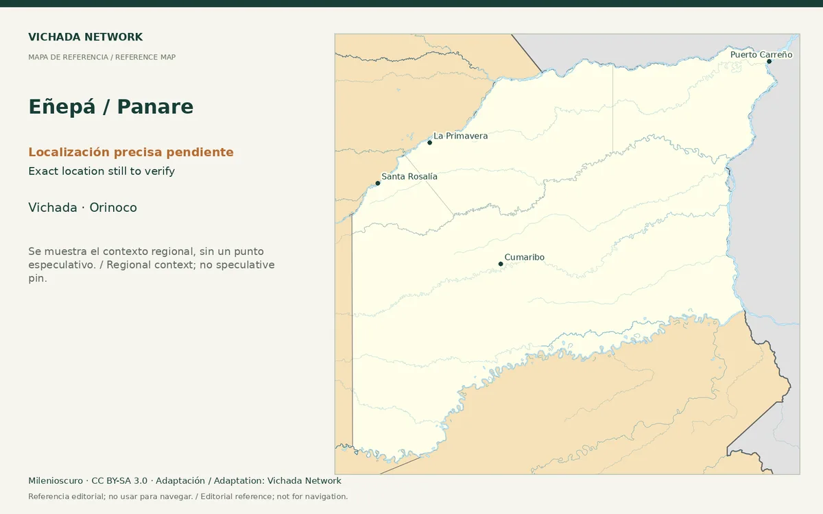
Regional reference map for Eñepá / Panare; no exact location is marked
Eñepá / Panare — locator map · Milenioscuro; locator adaptation by Vichada Network · 2012 / 2026
Original file open_in_new · CC BY-SA 3.0 open_in_new
Versions resized and compressed. Some previews are cropped. The stated license still applies.