VICHADA NETWORK · INDEPENDENT REFERENCE
Understanding Vichada
Geography, scale and landscapes to understand the department before planning a journey.
COLOMBIA · ORINOQUÍA
Distances are part of the experience
Vichada is best understood as a territory of connections: rivers, savannas and forests; towns and rural areas; scientific research and residents’ knowledge. It is not a single touring circuit or an extension of Puerto Carreño.
A town is not its entire municipality
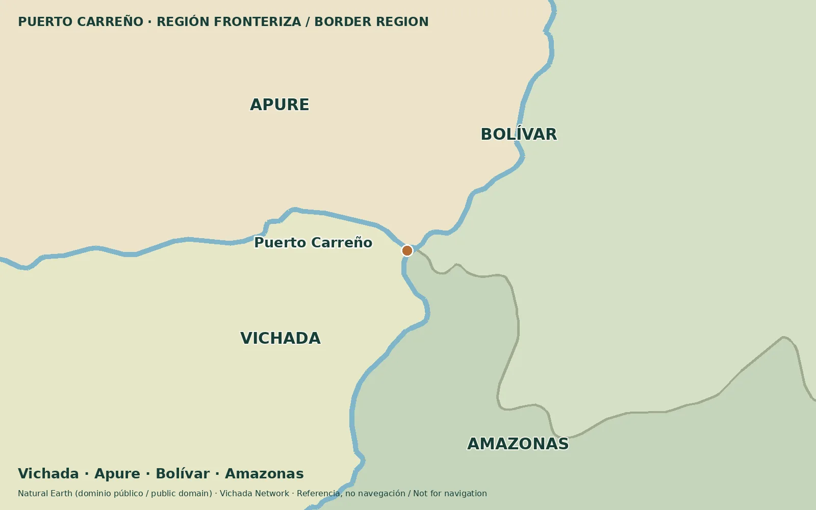
Puerto Carreño, Cumaribo, La Primavera and Santa Rosalía are the four municipalities. Each name may refer to its town or its entire territory. Establish the intended scale before estimating a transfer.
Population should not be described as overwhelmingly concentrated in four towns without statistical verification. DANE series change with revisions; figures need a year and version. This edition does not publish a total before reconciling the consulted series.
Connecting rivers, changing seasons
The Meta, Orinoco, Bita, Tomo and Vichada corridors help orient a reading of the landscape. A river is not a guaranteed passenger route: travel depends on the section, season, operation and access agreements.
Choose the place and host before assuming where a journey must start. Some visits may be organized from the capital; others need a different access strategy.
Sources & verification
Desk review: November 2, 2026. This is not field verification or an availability check.
- Gobernación de Vichada · Plan Vial 2018–2027, pp. 15, 22–25, 36–39 Historical territorial plan
- DANE · Proyecciones de población Official statistics
- Decreto 1235 de 2018 · Cuenca del río Bita Legal instrument