Understanding the place
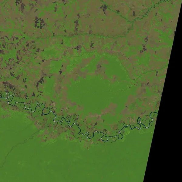
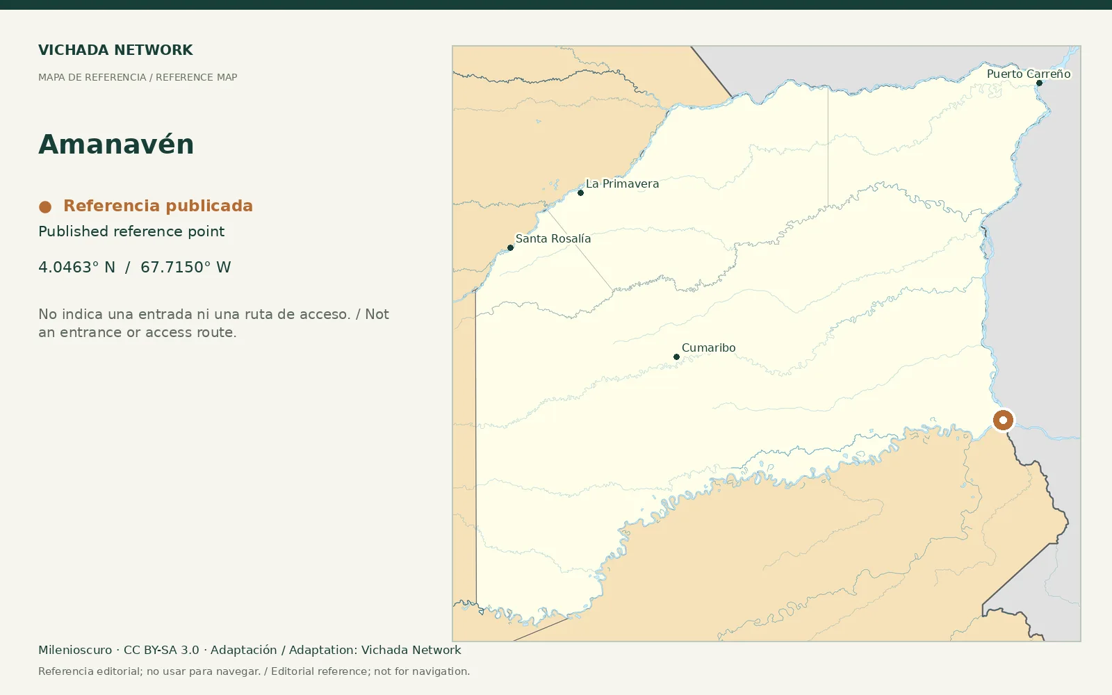
The municipal plan places Amanavén in relation to the Guaviare River, and departmental planning lists it among Cumaribo localities. This provides territorial context rather than a verified tourist route.
Access & visit arrangements
The source is a historical inventory or plan. It identifies a research subject rather than certifying current opening. Verify the route, responsible party and access agreements before proposing a visit.
Questions that help you plan
Planning from the southern department requires connections different from those leaving Puerto Carreño. Before combining destinations, establish transport between specific points and who receives the traveler at each stage.
What still needs checking
Passenger connections, local conditions, providers and visitor opportunities need review.
Sources & verification
Desk review: November 2, 2026. This is not field verification or an availability check.
- Gobernación de Vichada · Plan Vial 2018–2027, pp. 15, 22–25, 36–39 Historical territorial plan
- Cumaribo · Plan de Desarrollo 2020–2023 Historical municipal plan