Understanding the place
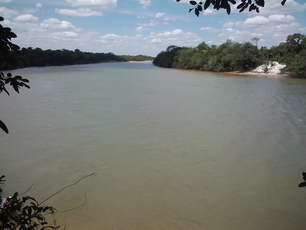
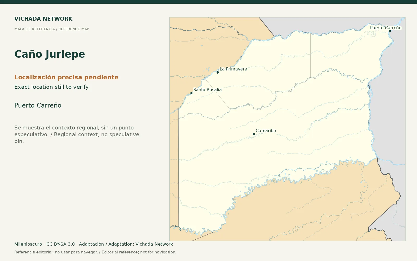
The departmental road plan describes the Juriepe’s mouth on the Meta and uses its name in transport corridors. This connects water and land access without establishing a current excursion service.
Access & visit arrangements
The source is a historical inventory or plan. It identifies a research subject rather than certifying current opening. Verify the route, responsible party and access agreements before proposing a visit.
Questions that help you plan
Research can compare the road point, waterway section and river connection. Before proposing activities, establish who uses and manages each sector and the seasonal conditions for reaching and returning from it. No fishing or swimming promises are made.
What still needs checking
Exact sector, municipal boundaries along the route, current access and visit agreements require verification.
Sources & verification
Desk review: November 2, 2026. This is not field verification or an availability check.
- Gobernación de Vichada · Plan Vial 2018–2027, pp. 15, 22–25, 36–39 Historical territorial plan