Understanding the place
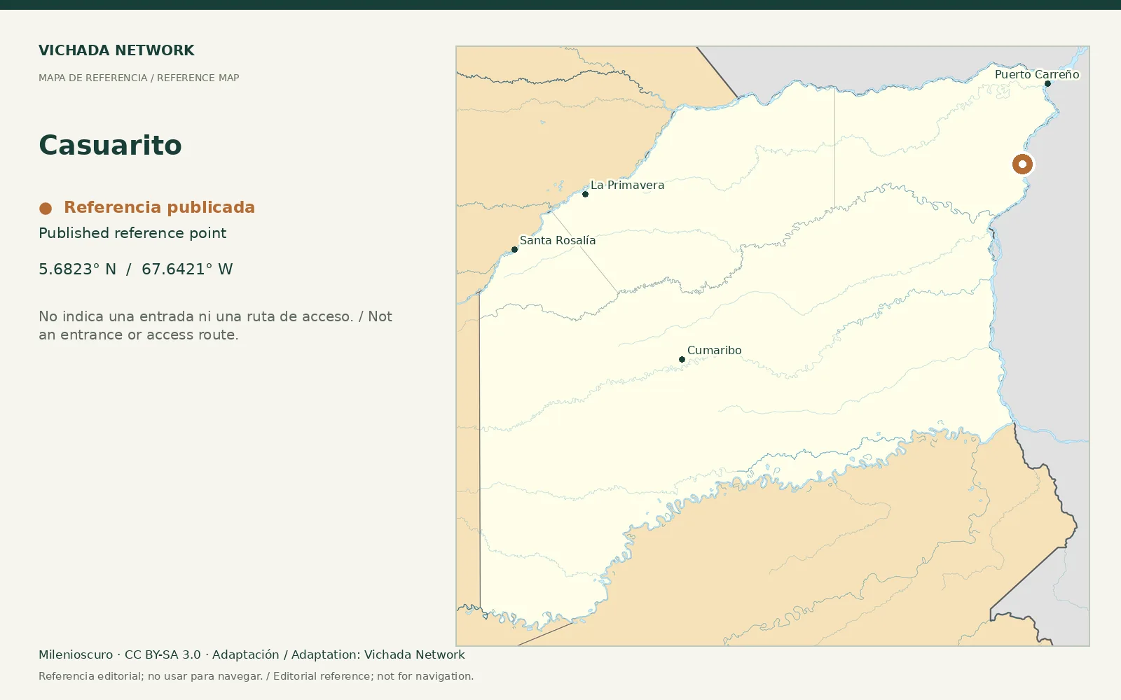
The departmental road plan identifies Casuarito within Puerto Carreño. This distinguishes the locality from the capital’s urban center. It does not prove a passenger connection, an authorized border crossing or a current touring program.
Access & visit arrangements
The source is a historical inventory or plan. It identifies a research subject rather than certifying current opening. Verify the route, responsible party and access agreements before proposing a visit.
Questions that help you plan
For a territorial orientation visit, establish the actual arrival route and whether it covers only the locality or neighboring properties and landscapes. Transfers, stops and return arrangements should be explicit.
What still needs checking
Connections, local reception, visitor sites and current conditions remain unverified.
Sources & verification
Desk review: November 2, 2026. This is not field verification or an availability check.
- Gobernación de Vichada · Plan Vial 2018–2027, pp. 15, 22–25, 36–39 Historical territorial plan