Understanding the place
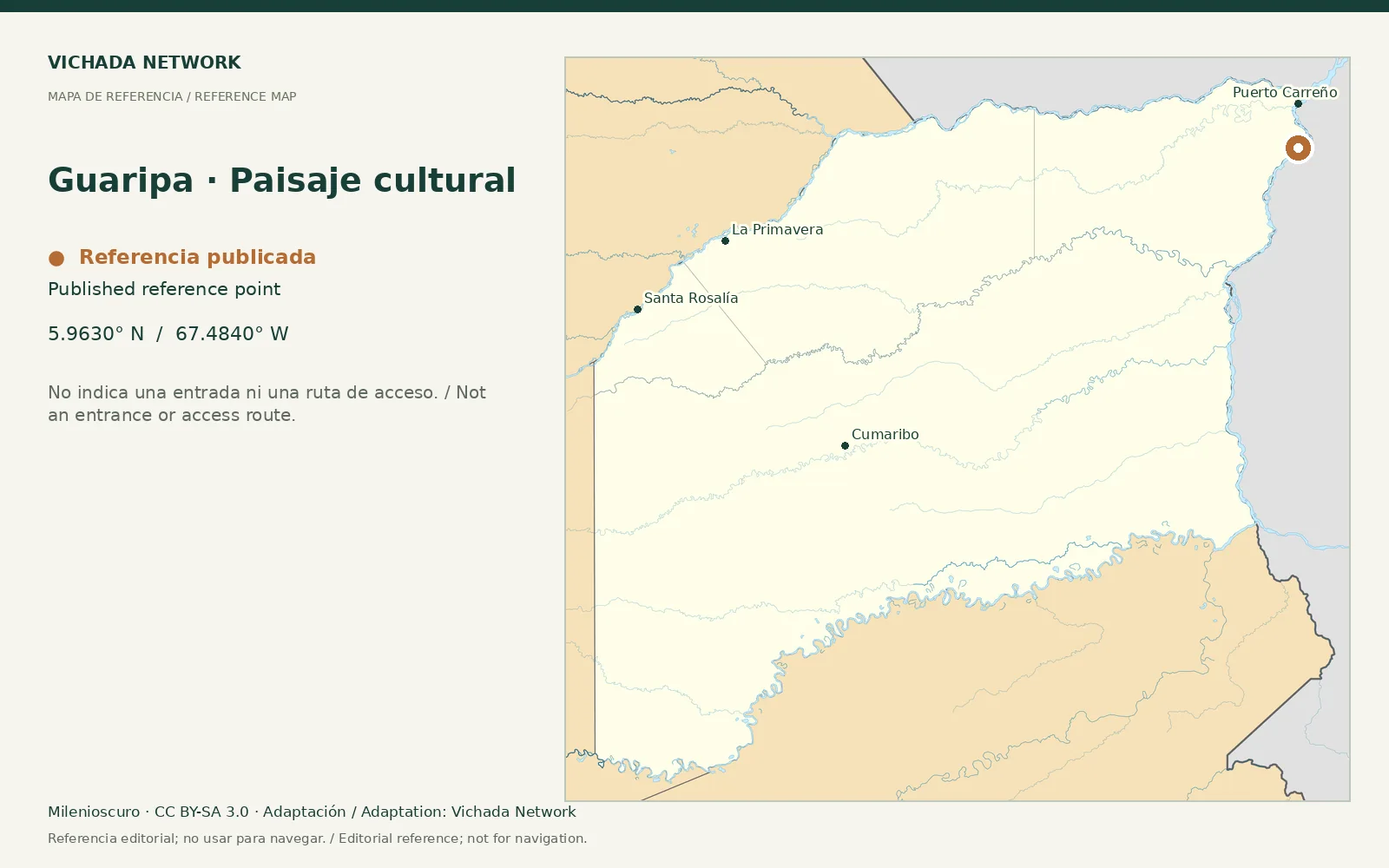
The departmental road plan mentions pictographs associated with Guaripa hill. This historical reference warrants specialist research; simple observation cannot establish authorship, age or meaning.
Access & visit arrangements
The source is a historical inventory or plan. It identifies a research subject rather than certifying current opening. Verify the route, responsible party and access agreements before proposing a visit.
Questions that help you plan
An update should involve territorial authorities and heritage specialists. We do not distribute precise locations of vulnerable features or approach instructions. Photographing or reproducing cultural imagery requires attention to rights and specific agreements.
What still needs checking
Appropriate public location information, heritage documentation, authority and visitor conditions require research.
Sources & verification
Desk review: November 2, 2026. This is not field verification or an availability check.
- Gobernación de Vichada · Plan Vial 2018–2027, pp. 15, 22–25, 36–39 Historical territorial plan