Understanding the place
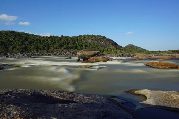
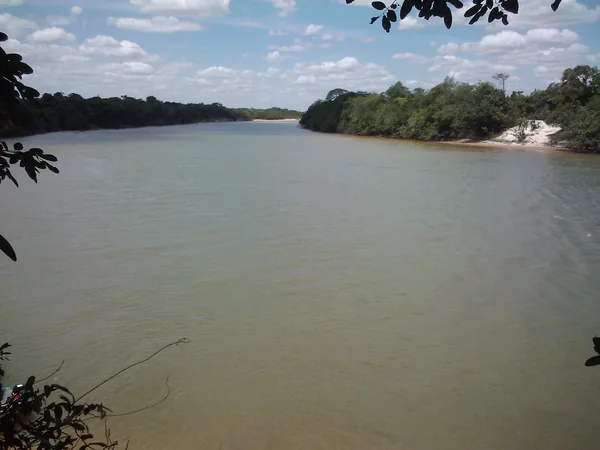
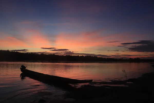
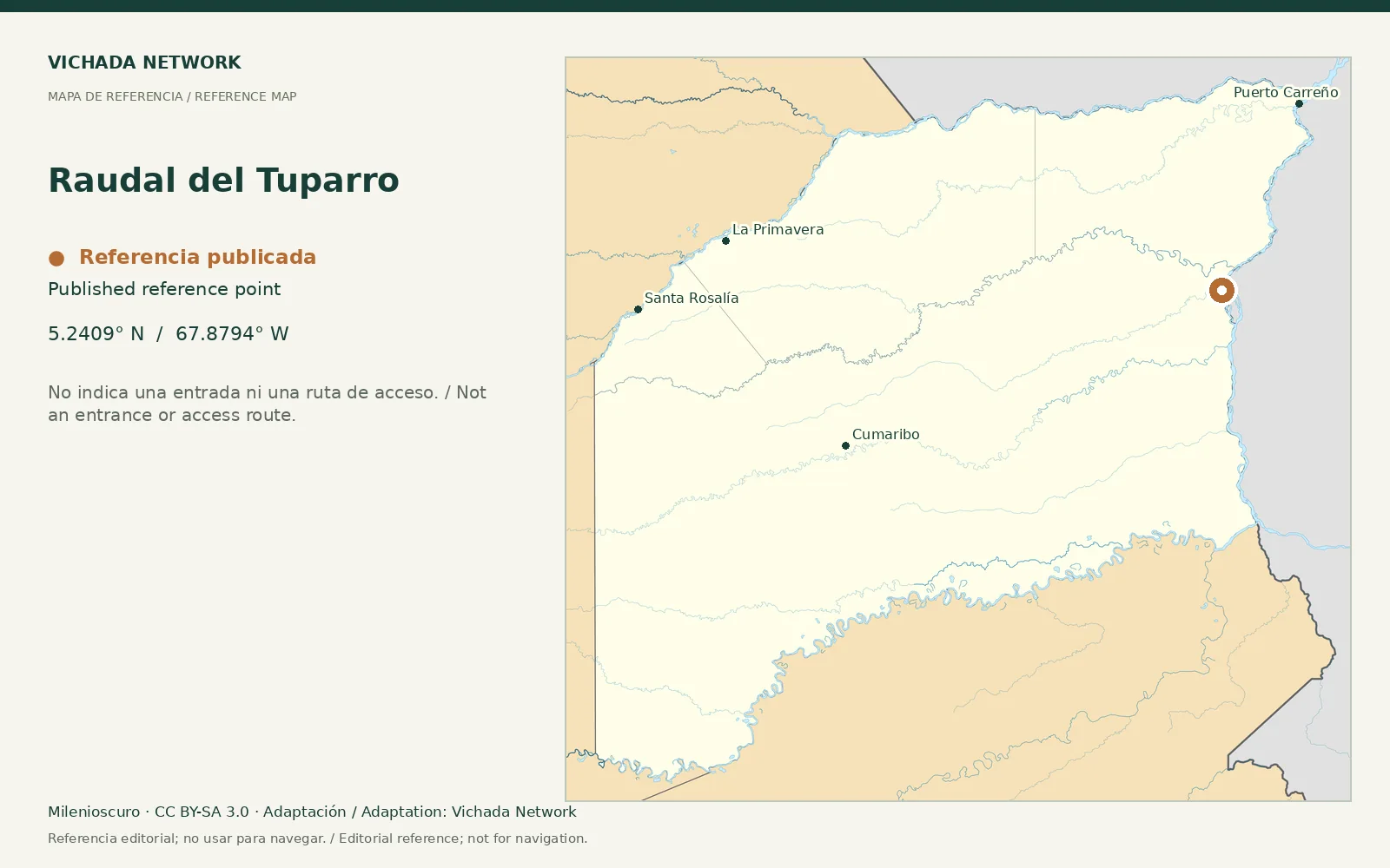
Departmental planning identifies the Maipures and Tuparro rapids as distinct references. Precise names prevent an itinerary from merging different landscapes and transfers under one photograph.
Access & visit arrangements
The source is a historical inventory or plan. It identifies a research subject rather than certifying current opening. Verify the route, responsible party and access agreements before proposing a visit.
Questions that help you plan
Request an approach sketch, observation points and areas excluded from navigation. For photography, ask how water levels affect the viewpoint. Swimming or recreational descent is not assumed to be suitable.
What still needs checking
Precise mapping, permitted sectors, operation and present conditions remain unverified.
Sources & verification
Desk review: November 2, 2026. This is not field verification or an availability check.
- Gobernación de Vichada · Plan Vial 2018–2027, pp. 15, 22–25, 36–39 Historical territorial plan
- Parques Nacionales Naturales · El Tuparro Protected-area authority