Understanding the place
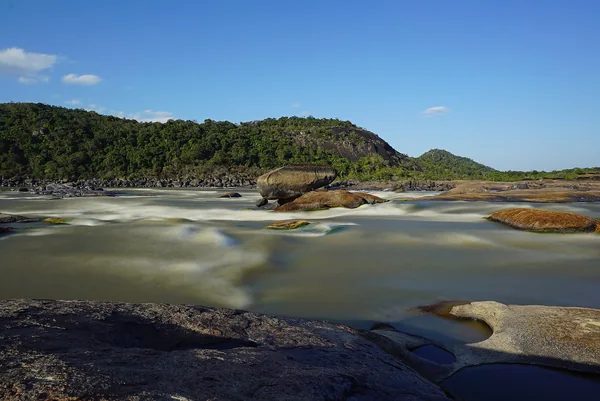
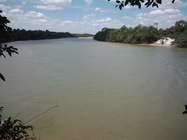
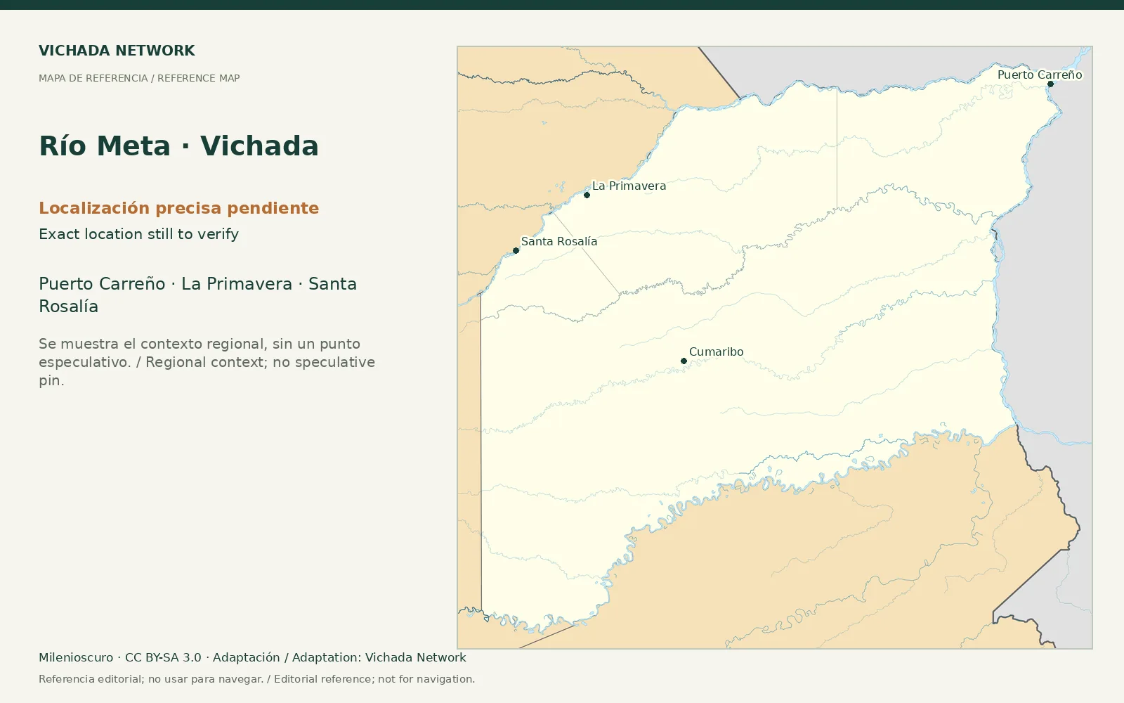
The Meta connects northern Vichada with other parts of the Orinoquía and joins the Orinoco beside Puerto Carreño. Passenger transport and tourism may use the same river without providing the same conditions, stops or services.
Access & visit arrangements
A connection on a map does not establish a scheduled departure. Confirm the origin, destination, stops, luggage and cancellation terms with the carrier.
Questions that help you plan
Compare complete routes and distinguish passenger transfers from interpreted excursions. Understanding a landscape requires agreed time and accompaniment.
What still needs checking
Timetables, carriers, boarding points and route conditions require date-specific verification.
Sources & verification
Desk review: November 2, 2026. This is not field verification or an availability check.
- Gobernación de Vichada · Plan Vial 2018–2027, pp. 15, 22–25, 36–39 Historical territorial plan
- Alcaldía de Puerto Carreño · Sitios de interés Municipal inventory