Understanding the place
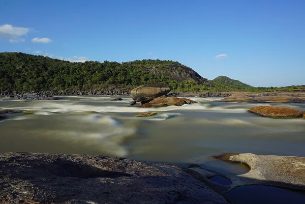
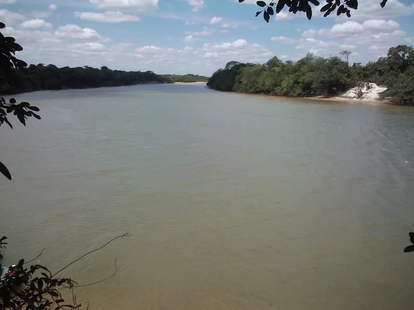
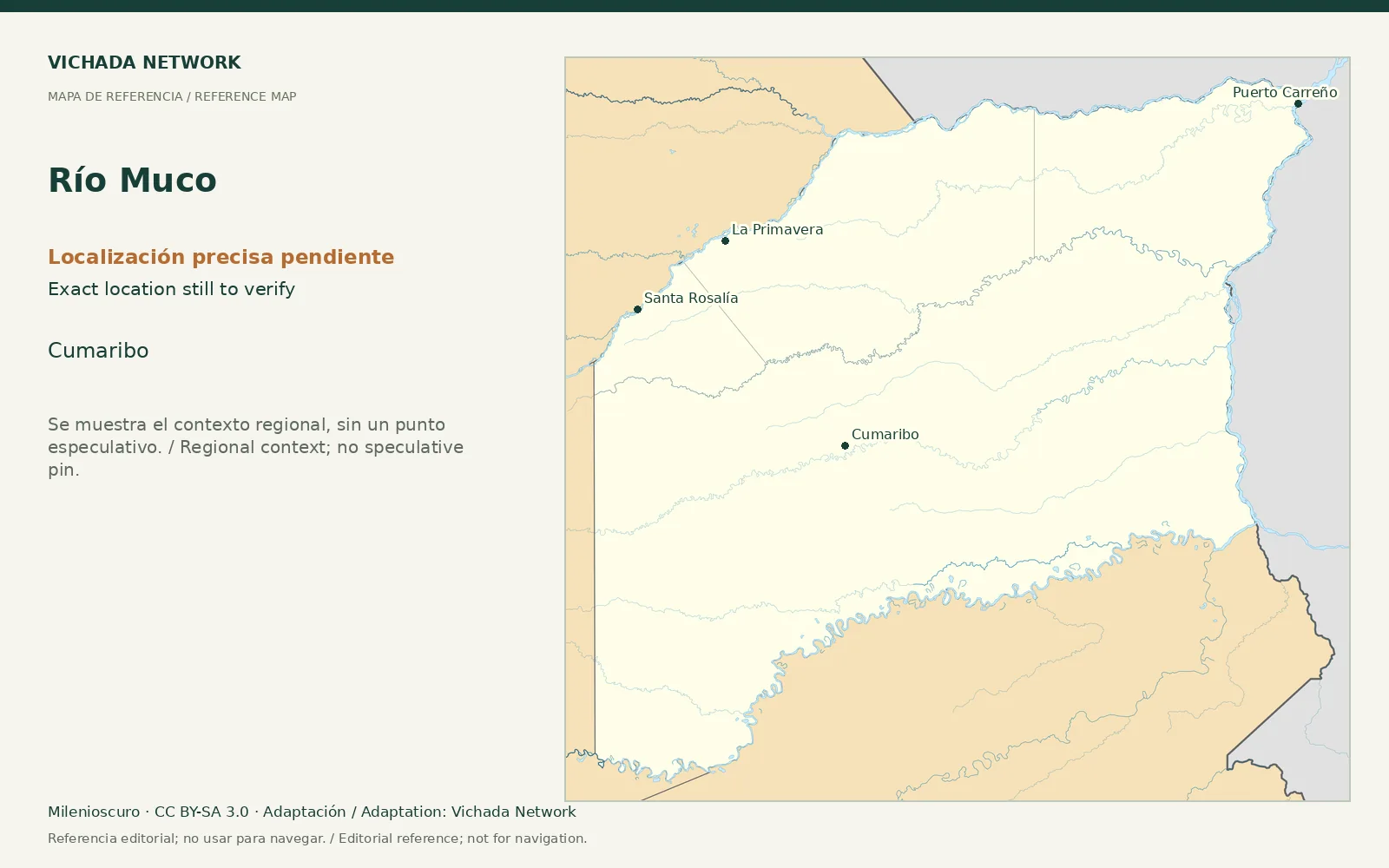
The departmental hydrographic description identifies the Muco as contributing to the Vichada River system. This supports research on inland connections without assuming that every channel forms a passenger itinerary.
Access & visit arrangements
The source is a historical inventory or plan. It identifies a research subject rather than certifying current opening. Verify the route, responsible party and access agreements before proposing a visit.
Questions that help you plan
Define the section and its relationship to neighboring settlements before fieldwork. Research on water, riverside forest or local mobility needs its own methods and objectives; visitor expeditions additionally need operational assessment and agreements.
What still needs checking
Route mapping, navigation, access, hosts and services remain research questions.
Sources & verification
Desk review: November 2, 2026. This is not field verification or an availability check.
- Gobernación de Vichada · Plan Vial 2018–2027, pp. 15, 22–25, 36–39 Historical territorial plan