Understanding the place
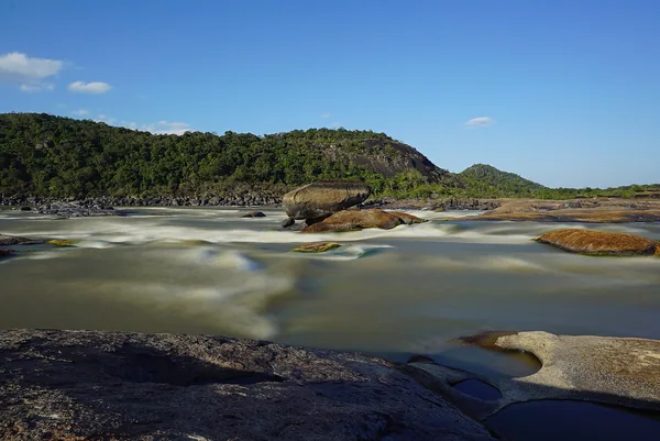
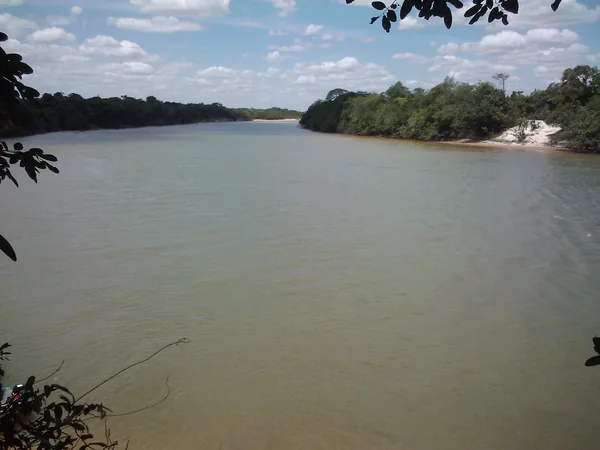
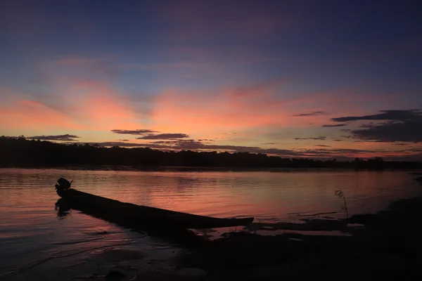
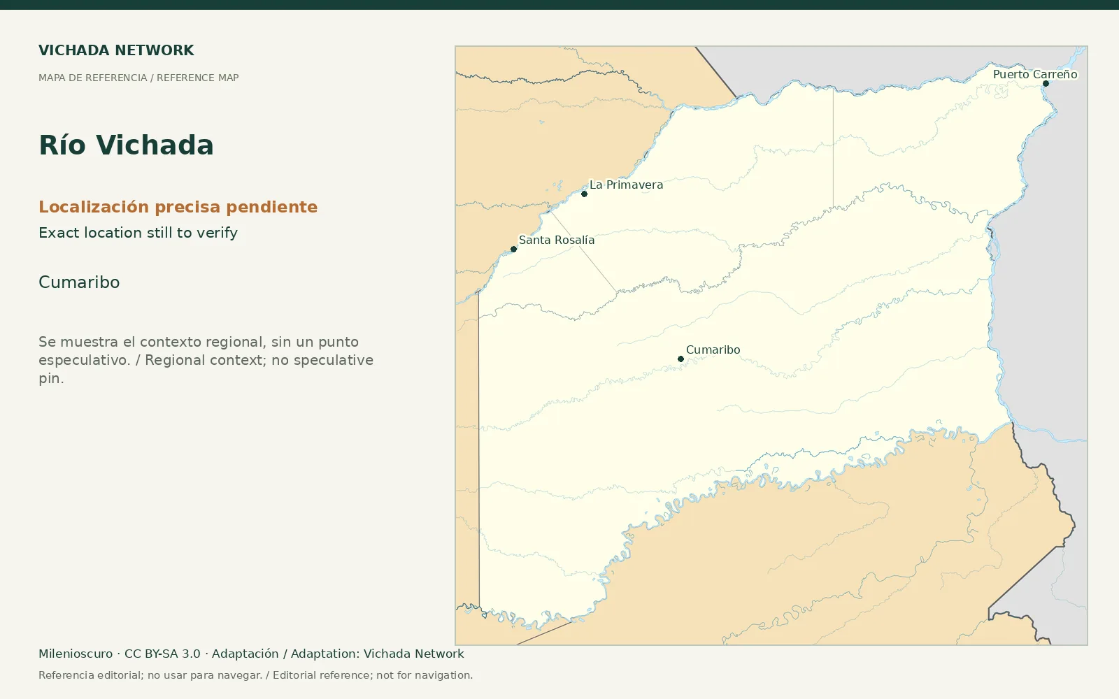
The Vichada is a river axis in the southern department. Its relationship with the Aliwa landscape features in scientific communication. The river, proposed geological structure and Indigenous territory are related but not equivalent.
Access & visit arrangements
Choose a section before asking about a visit. No continuous navigation offer has been checked, and permissions cannot be assumed to extend across communities or properties.
Questions that help you plan
Request a route with support points, water conditions and host authorization. A scientific approach should separate landscape observations from hypotheses about origins.
What still needs checking
Routes, duration, providers, territorial agreements and navigation conditions remain research questions.
Sources & verification
Desk review: November 2, 2026. This is not field verification or an availability check.
- Gobernación de Vichada · Plan Vial 2018–2027, pp. 15, 22–25, 36–39 Historical territorial plan
- Instituto Humboldt · Selvas de Aliwa Science communication