
PLAN YOUR OWN OUTING
Hiking in Vichada
Plan a walk to a viewpoint, across rocky terrain, or along an authorized trail. Check the surface, access, and return route before setting out.
What It Is
Hiking means following a route on foot for its landscape, history, or physical challenge. In Vichada, a town viewpoint can be a first outing before an interpretive walk in the savanna or forest. Distance tells only part of the story. Heat, wet rock, and water crossings can change the difficulty.
Known Destinations: What They Are and How to Reach Them
| Destination | What It Is | How to Arrange the Approach |
|---|---|---|
| Cerro de la Bandera Puerto Carreño | Viewpoint and urban place A vantage point for understanding Puerto Carreño’s town and river landscape. | From Puerto Carreño, identify the local hill approach and take a return walk on the permitted path. Confirm the start and rock conditions; no surveyed distance is supplied here. |
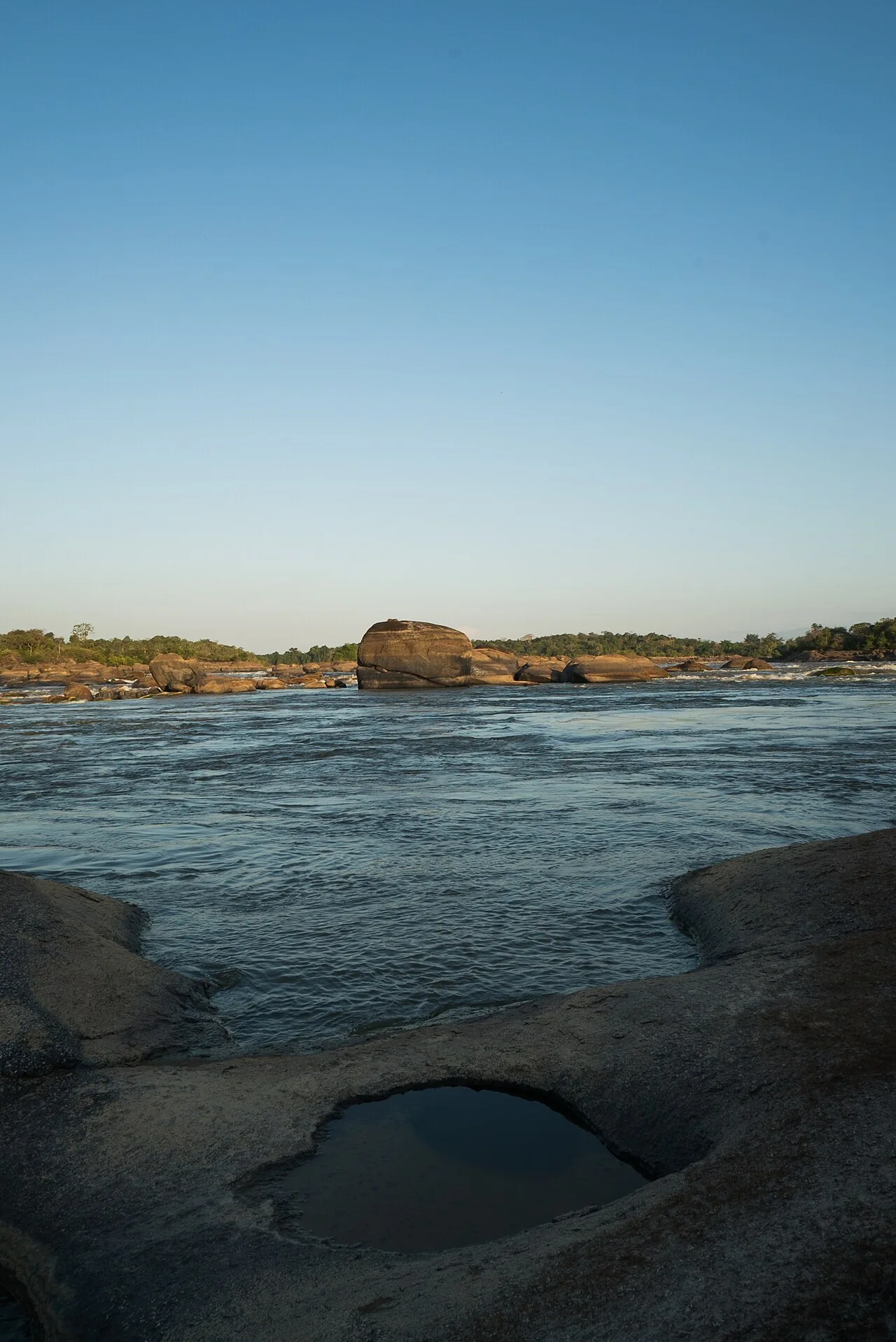
| Sendero Attalea Cumaribo | Interpretive trail Palms, rock and a view of the rapids from land. | As part of an El Tuparro visit. Confirm the authorized park approach, trail start and accompaniment. This is not a public trail independent of protected-area rules. |
| Sendero Cerro Thomas Cumaribo | Park trail Crossing savanna toward a rock outcrop in the El Tuparro landscape. | In the El Tuparro setting. Ask the park which itinerary is open and how transfers work; organize entry and walking with the required accompaniment. |
Why Go
Walking at your own pace gives you time to see how the town, rivers, and savanna meet. A short first outing also helps you see how your group handles the heat and terrain before choosing a more demanding walk.
How to Plan Your Outing
- Start by researching Cerro de la Bandera, a viewpoint in Puerto Carreño. Check current access with someone local and choose a stretch that everyone in the group can manage.
- Plan the outbound and return route. Download the map in advance, set a turnaround point, and tell someone where you are going and when to raise the alarm if you are overdue.
- Check weather and local conditions. Carry enough water, sun protection, shoes with grip, and a first aid kit. Shorten or postpone the walk if there is a storm, slippery rock, or a crossing you cannot assess.
- Stay on permitted paths, pack out your waste, and respect closures and boundaries. Check with the responsible people before entering private land or Indigenous territory.
Access and Local Support
Planning your own trip can include hiring help for one segment. Colombia’s parks authority requires an approved guide or interpreter for visits to El Tuparro. Confirm the open trail, visitor capacity, and entry requirements with the park before committing to transport. The Attalea and Cerro Thomas guides can help you prepare that inquiry.